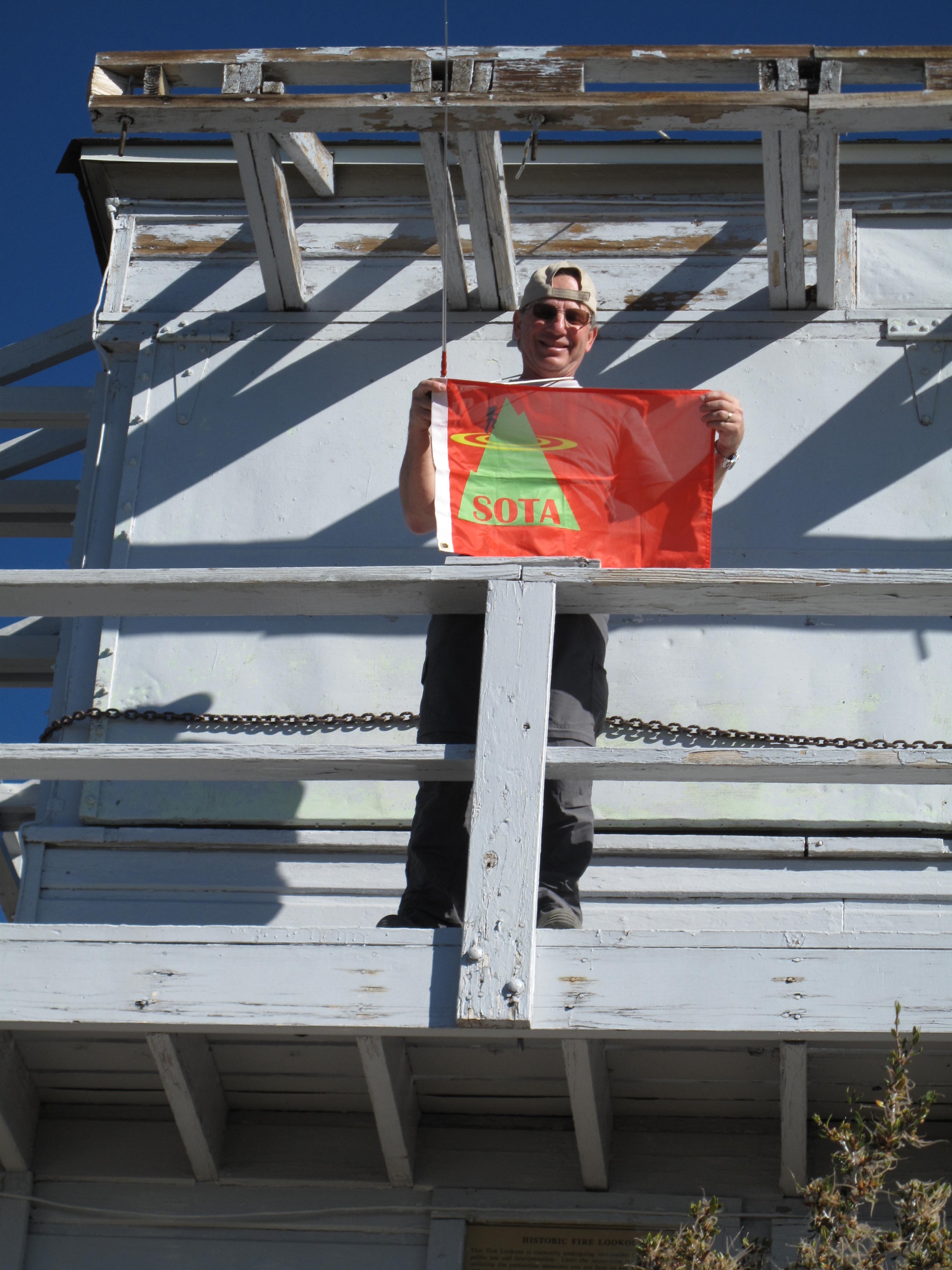
Activation of Tahquitz peak, Riverside County, California - 8,828 Feet, 2,692 Meters.
On vacation with my wife in Southern California, it was possible to combine hiking with Amateur Radio / SOTA. Based in Palm Springs, California, we ranged throughout the San Jacinto Mountains and Joshua Tree National Park for several days of excursions.
This hike started with stopping at the Idyllwilde Ranger stattion, in the little "artist colony / mountain hamlet" of Idyllwilde, California, to pick up a wilderness Permit, and inquire about the rough road leading to the trailhead. We were assured that our Chevy Impala rental car would "make it to the TH", which in fact was the case. A warning though: this is a somewhat steep, very rutted and bumpy road, requiring very slow driving to make it in a sedan.
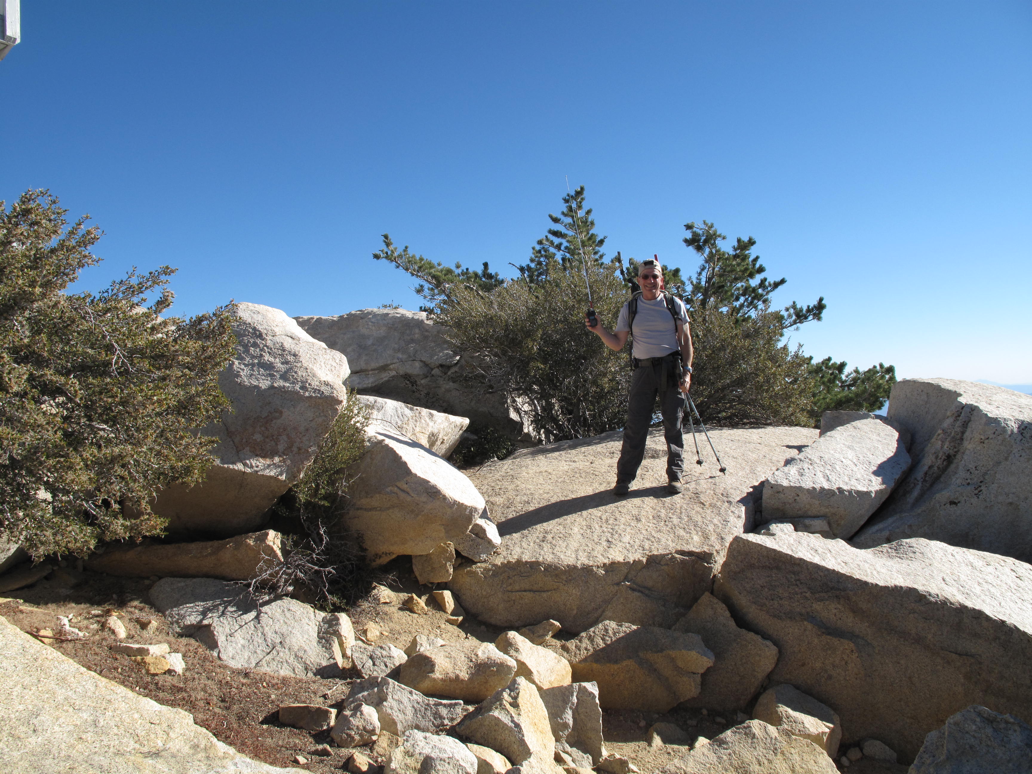
The hike itself is 8 miles round trip, gaining 2,400 feet in 4 miles, so its not too steep, with the exception of the last mile or so which gains about 800 to the summit lookout.
All contacts were on 2M FM. Thank you very much to all the Chasers!