These eleven miles (RT) seem much farther when you are on snowshoes - take that into account if you should decide to try this winter activation. If you have 4WD, very high clearance and nerves of steel, you you might consider driving a bad road in the summer - see the other trip report below.
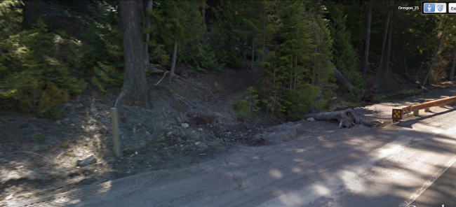
The trail starts from Highway 35 - the trailhead coordinates: 45.3395 -121.5703. See the trailhead photo below with an unsigned post just north of a bridge over the Hood River East Fork.
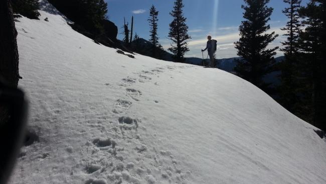
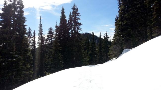
Trail #480 starts here and switchbacks steeply up about 1.5 miles and 1500 feet to meet Bennett Pass Road at Gumjuwac Saddle. It became difficult to follow the trail due to snow as we gained altitude but we used a waypoint for Gumjuwac Saddle of 45.33335 -121.54904 and a good map to guide us. From Gumjuwac take Bennett Pass Road about 2 miles south to 45.3102 -121.5718. Here in summer there is a trail paralleling the road but leading up towards 6001. Rather than following the trail as it traversed below the summit and using the summer approach from the south, because of the steep snow we made a direct ascent the last 1/8 of a mile or so up the north side.
With an MTR and an end-fed halfwave on 40m and 20m, made 20 contacts on HF, include G4 and EA2 - pretty good for 2.5W. Had a good response also on 2m FM with 3 QSO on 146.52 as well.
For an activation in the snow-free season, see this summer activation report for Peak 6001:
http://www.pnwsota.org/blog/k7atn/2014-january-02/peak-6001-or-oct-2013
and this trail information: http://www.fs.usda.gov/Internet/FSE_DOCUMENTS/stelprdb5397599.pdf.


