14 September 2014 Tahtlum Peak W7W/MC-023
Directions are from the Seattle Mountaineers book- Guide to 100 Hikes at Mt Rainier National Park:
Driving:
Drive south on SR 410 and park at Chinook Pass (elevation
5430') on the south side of the road.
Route:
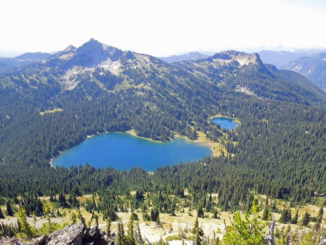
Hike the Pacific Crest Trail south to a high point of 5900' and head left toward Tahtlum Peak. Cross two small bumps and follow the footpath, staying mostly on the ridge or sometimes just to the left. From the summit, a pleasant side trip is to return via Dewey Lakes. From the saddle at 5750', head southward, following easy terrain to reach Dewey Lakes. Return via
the PCT. Yet another option is to complete the loop around Naches Peak and return via Tipsoo Lake.
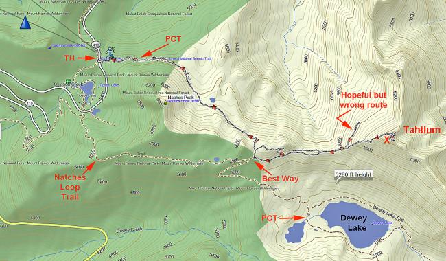
Additional Route Info: On the return trip at the 5946 ft three way boot track intersection I noticed a well worn track to the west and followed this. This route turned out to be very well defined and I recommend going this way to the summit. The beginning of this track is on the PCT (46.8628°, -121.4962°), just past the Mountaineers described route above. At this point there is a way trail that heads downhill towards a large south facing rock that is popular with visitors. Head past the rock to find the boot track to the 5946 ft three way intersection at 46.8636°, -121.4830°. Ducking through bushy trees is necessary to find the track. Also, note that Tahtlum Peak is outside of the National Park boundary - which can provide hikers with dogs, horses and (depending on the season) hunters.
It was a nice cool and clear fall morning when I head out from the parking area at Chinook Pass on Hiway 410. One and a half miles on the PCT lead me to the boot track described in the Mountaineers book. The track disappeared quite often and I improvised by heading for the ridge back. At 5946 ft is a three way intersection. I regretfully took a left on a well defined track for ¼ mile. I retreated after deciding that since I wasn’t gaining any elevation then it wasn’t the way to the summit. I traversed the top of the ridge to 6400 ft where the track took me along the north slope of the ridge for about 500 ft to a small saddle. From this point I head SW up to the summit.
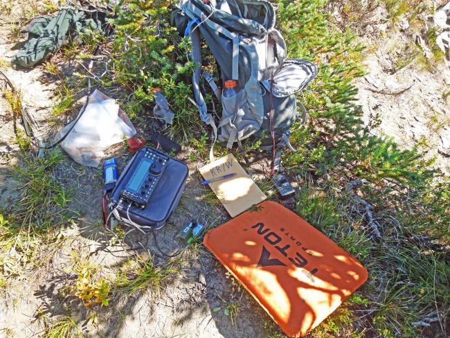
The summit is stomped down gravel- a flat open spot about 6x6 ft. Great for 2 meter work, but no support for my HF antenna. I retreated downhill about 25 ft to a shelf on the north side of the top. My 20 ft fish pole was strapped to a scrub pine tree which provided some shade. The Dan doublet wires were carefully tied off to other small trees amongst the scree.
I called CQ on 2 Meters. Contact was made with a ham at High Rock Lookout (W7W/PL-029) from whom I learned that the ARRL VHF contest was on. I suspect that he learned from me that he was on a SOTA summit. A couple of hours later on the trek back to the TH, I made contact with Grover, KG7O who had just reached the summit of Mt St Helens. 23 HF QSOs were made. This days station consisted of: KX3 @ 6W, Dan’s 44 ft Doublet, 20 ft carbon fish pole, LiPo 3S battery, Straight Key, and Kenwood D72 APRS handy talkie.
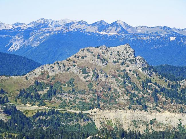
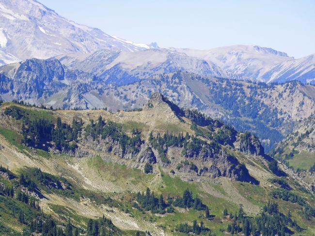
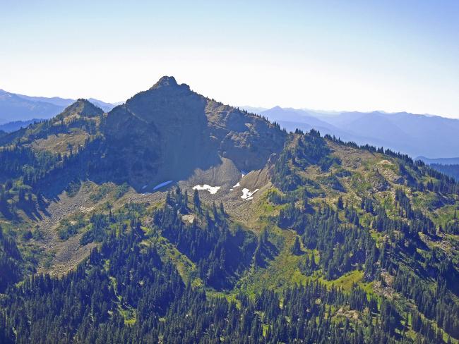
From the summit of Tahtlum I could see other SOTA peaks within a short hike and scramble from the TH: Naches Peak- 1 mile, Deadwood- 2 miles, Dewey Pk- 3 miles- shown in photos below. The routes to Naches and Dewey are described in the Mountaineers book cited above. Of these, I’ve only scrambled to Deadwood.
On the trip to the summit I was alone on the trail. On the return trip I noticed maybe a hundred or so visitors walking the PCT to Dewey Lake and the Naches Peak Loop trail (in Mt Rainier National Park). This area is great place to go for a walk in the woods.
Movie with same photos as below:
https://www.dropbox.com/s/9kzvuxbcy0zzqnl/Tahltum%20SOTA%209_14_2014.mp4?dl=0
End of Blog. 72 Rich KR7W
+++ Hover mouse pointer over photo to see caption +++


