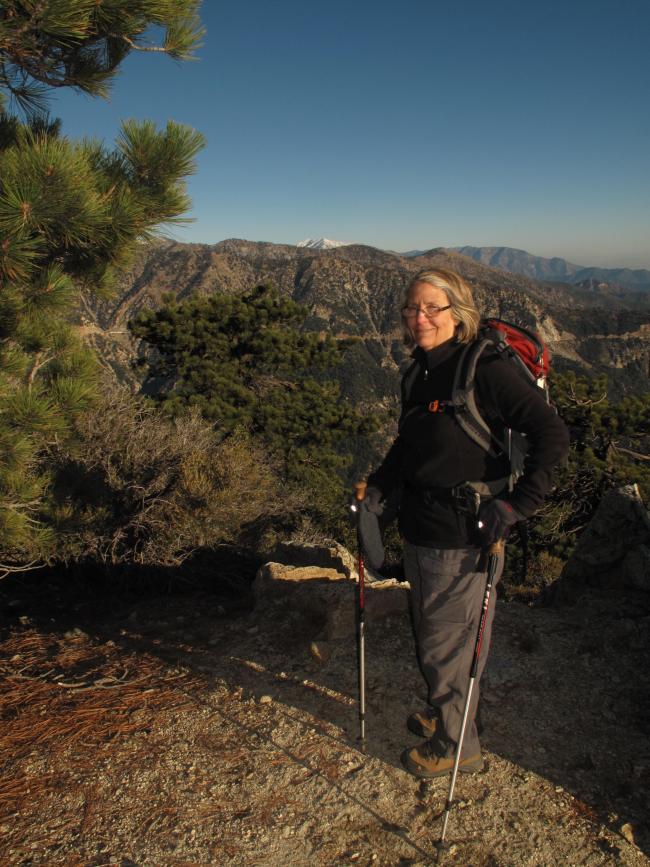
Pearls On A Necklace – SOTA Adventures in W6/CT. Strung along the Angeles Crest Highway (SR 2, Los Angeles County, California), which runs through the San Gabriel Mountains, on the stretch between the Pasadena / Glendale area the south, and the Apple Valley / Victorville area to the north, lie more than 20 SOTA listed summits. Most are 6 to 8 point summits. Proximity to Los Angeles, relatively easy access and beautiful terrain, similar to east slope Washington and Oregon Cascades, make this a “tourist delight” area. On 3 separate days, between October 31, 2014 and November 4, 2014, I activated five (5) of these SOTA summits. This report is #5 of 5.
Kratka Ridge is the high point of an elongated ridge running just south of the Angeles Crest Highway (SR2) in the San Gabriel Mountains of So. Cal. It is 7,515 feet in elevation. It is approximately 1.65 miles RT and approximately 750 feet elevation gain. It lies adjacent to a defunct ski area, which has been closed for about 12 to 13 years.
This was our second SOTA Activation of the day, following Mount Williamson, W6/CT-011. The wind was still blowing hard, probably still at 30 MPH, and the temperature had "risen" to about 40 degrees F. There were not as many snow and ice patches as we had on mount Williamson, almost 750 feet higher. With Standard Time returning, our activation at 4:30 in the afternoon saw the sun dipping down towards the horizon.
All contacts were on 2M FM due to the weather and daylight constraints. Driving to the west at sunset was challenging at times, as the sun shone directly into our direction of travel for much of the return trip along SR2.


