Summit
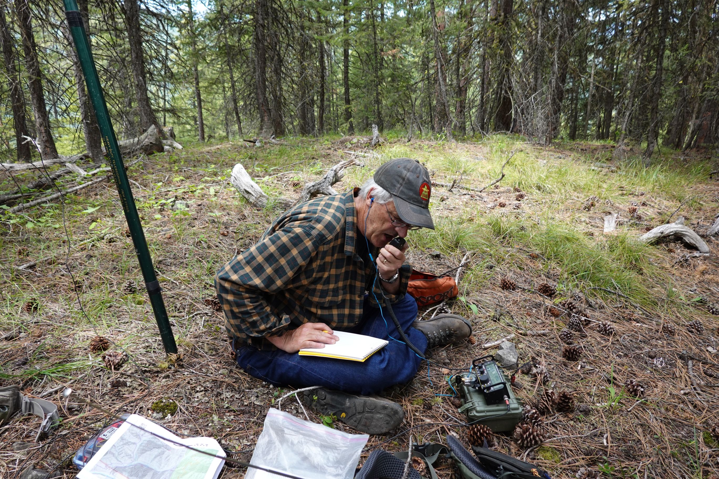
APRS Coverage
Full two-way messaging
Voice Cellular Coverage
Don't know
Data Cellular Coverage
Don't know
0.6 miles; +481 feet; -6 feet
Note: This is on State DNRC lands and a Montana Conservation (fishing) license is required.
Driving Portion:
From the Fish Creek I-90 Exit (Exit 66) east of Superior:
- Drive west on the Fish Creek Road on the south side of I-90 and the Clark Fork River. Continue straight (right) at the “Y” at 0.9 miles.
- There is another fork at Mile 2.4. Continue straight (right) on NF-344 and take the bridge that crosses Fish Creek.
- There is another fork at Mile 4.1. Stay right on FS-344.
- There is another junction at mile 4.7 when the road reaches Rock Creek. Go up the Rock Creek Road (FS-7764) for 3.2 miles to the junction with FS-7714 and turn right onto FS-7714.
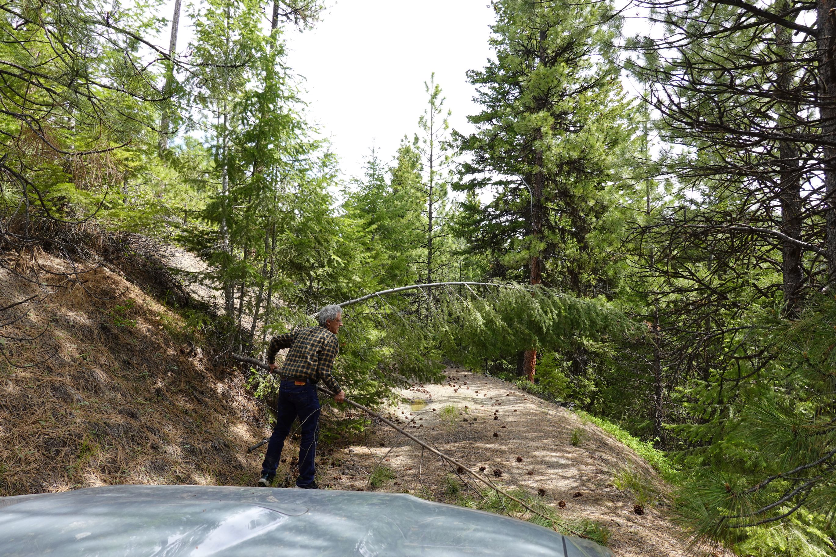
- Drive up FS-7714. Note that this road is only open May 16 – November 30. It will eventually transform into FS-16775. There is a broad parking/borrow area at about mile 2.8 in a saddle where the road splits. Park here.
Hiking Portion:
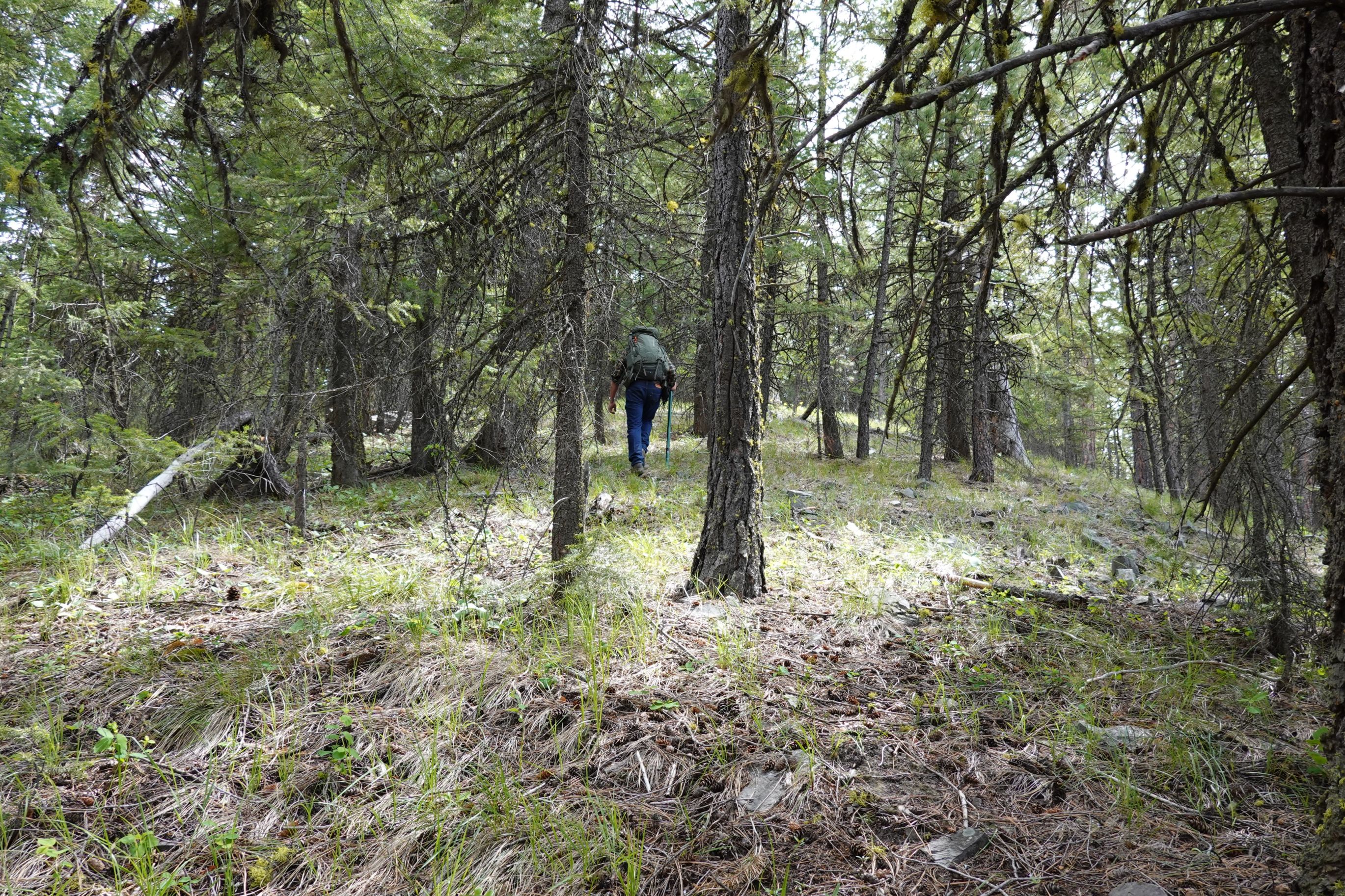
Take the right (east) road at the “Y” parking area. After 50 or 100 feet, you have the option to either turn left off of the road onto a faint horse/hiking trail, or continue on the old overgrown road. Both work. The faint trail option continues to the summit with some minor ups and downs, whereas the old road option will eventually end – after which you must climb a moderately steep meadow to meet the faint ridge trail. The uploaded GPS track follows the old road option.
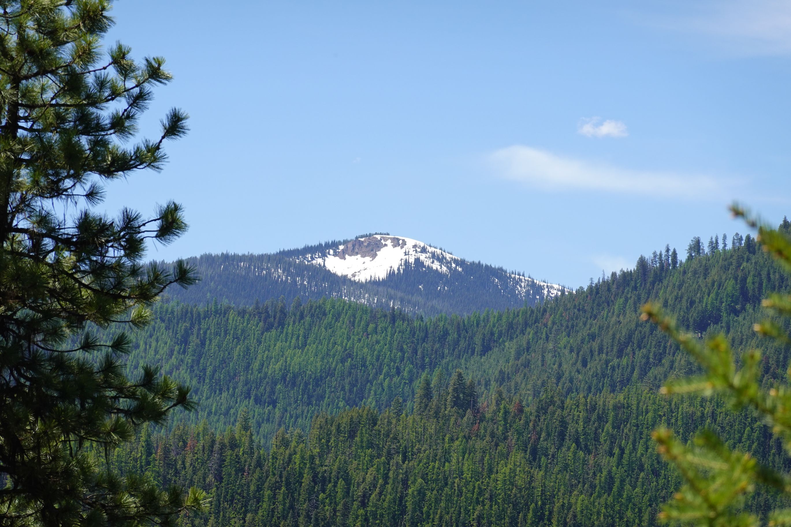
The summit is in a nice forest but has limited views.
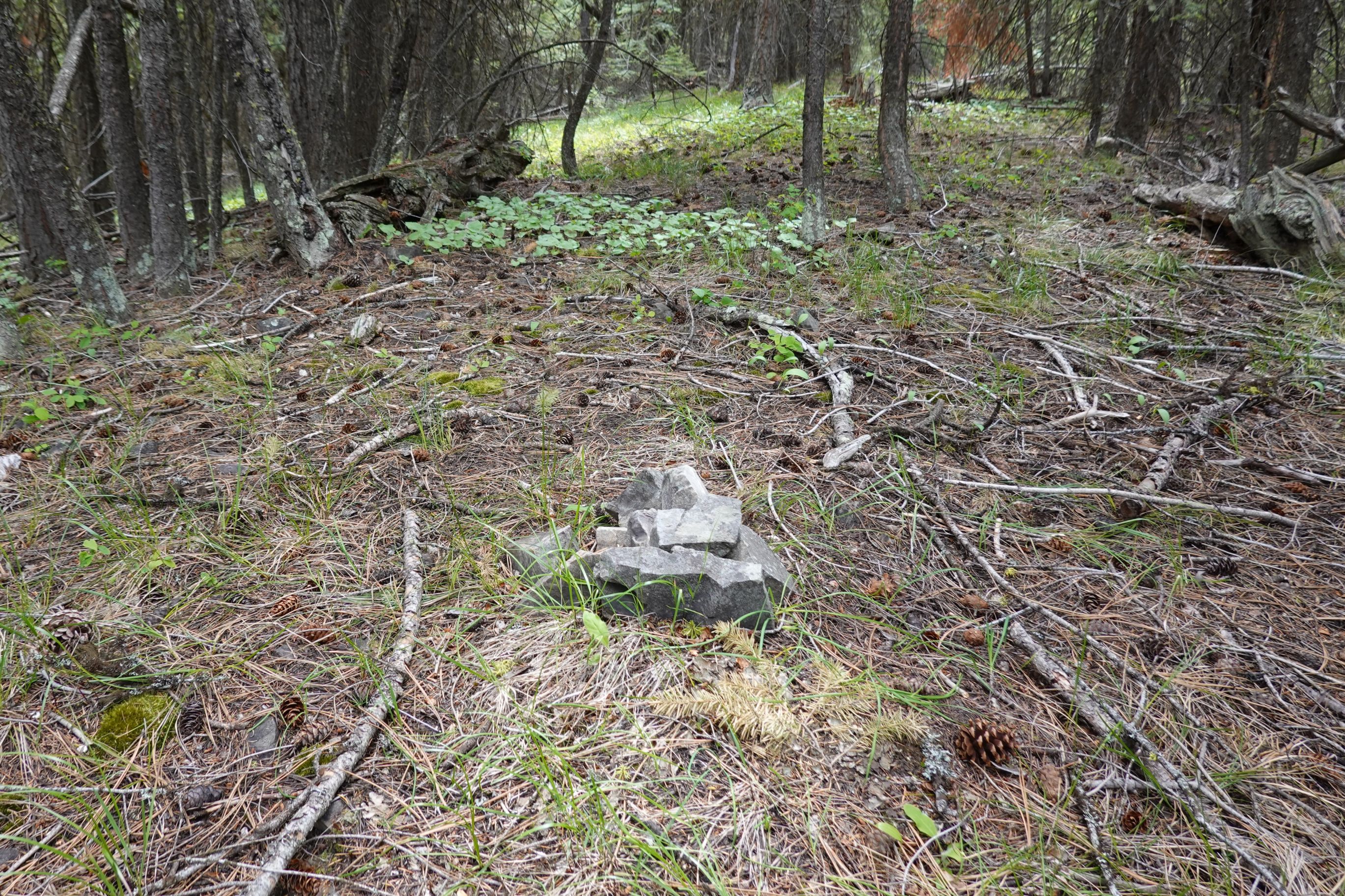
Pictures