Summit
APRS Coverage
Full two-way messaging
Voice Cellular Coverage
No service at all
Data Cellular Coverage
No service at all
1.7 miles; +1,218 feet; -0 feet
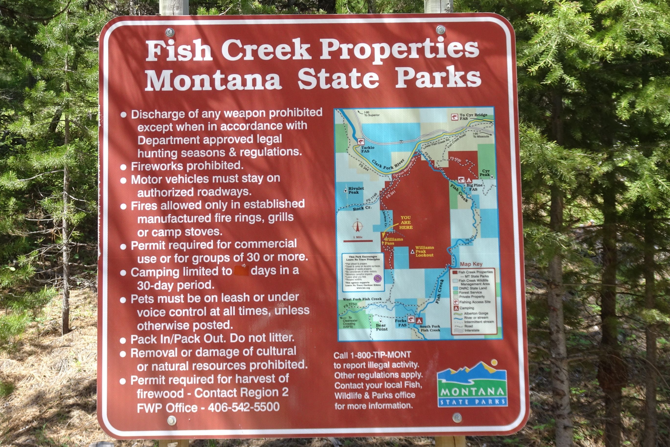
Note: This is on the Fish Creek Wildlife Management Area and a Montana Conservation (fishing) license is required.
Driving Portion:
From the Fish Creek I-90 Exit (Exit 66) east of Superior:
- Drive west on the Fish Creek Road on the south side of I-90 and the Clark Fork River. Continue straight (right) at the “Y” at 0.9 miles.
- There is another fork at Mile 2.4. Continue straight (right) on NF-344 and take the bridge that crosses Fish Creek.
- There is another fork at Mile 4.1. Turn left onto FS-341, it will go up the east side of Rock Creek.
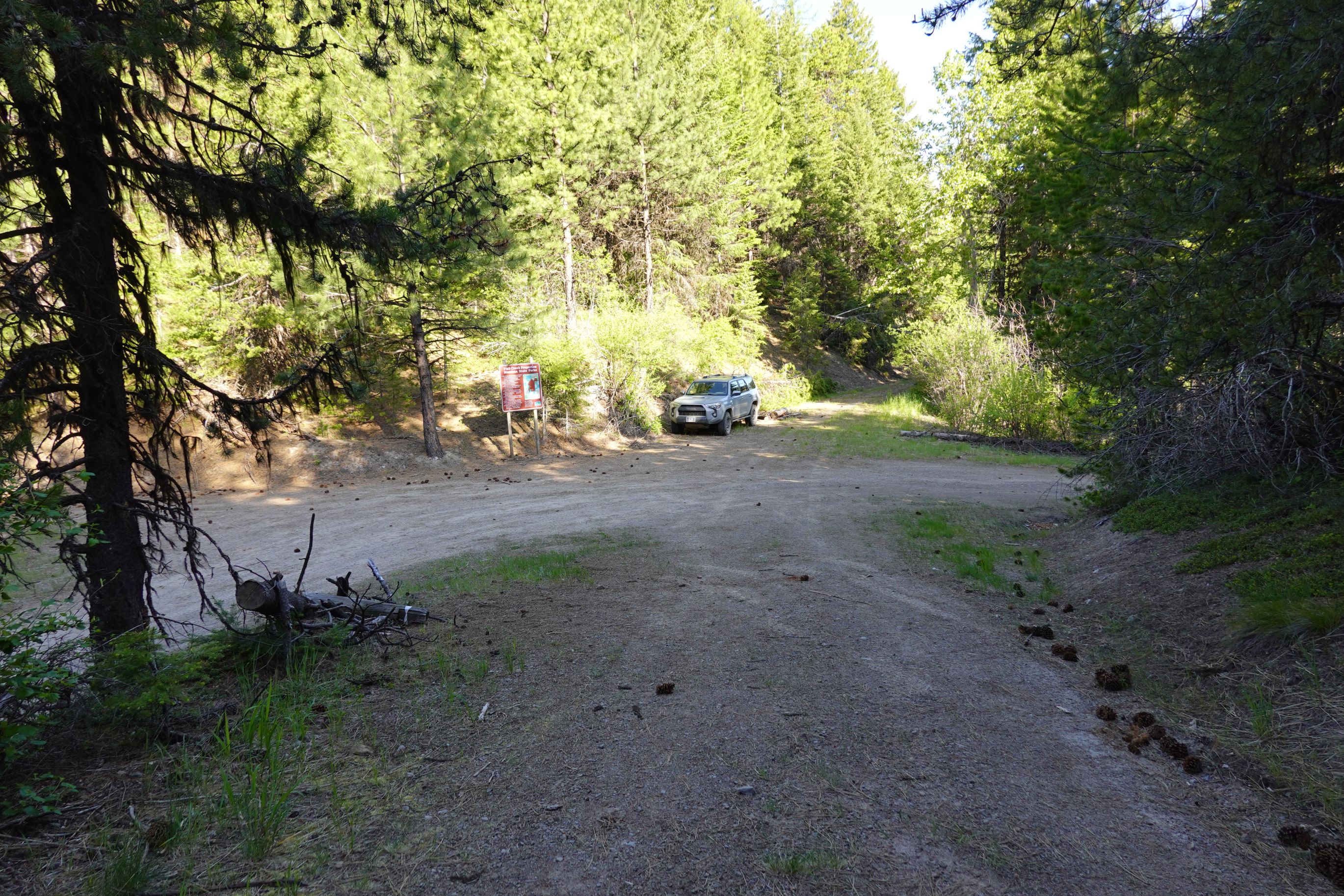
- Follow FS-341 3.3 miles to the 5-way intersection on Williams Pass and Park here.
Hiking Portion:
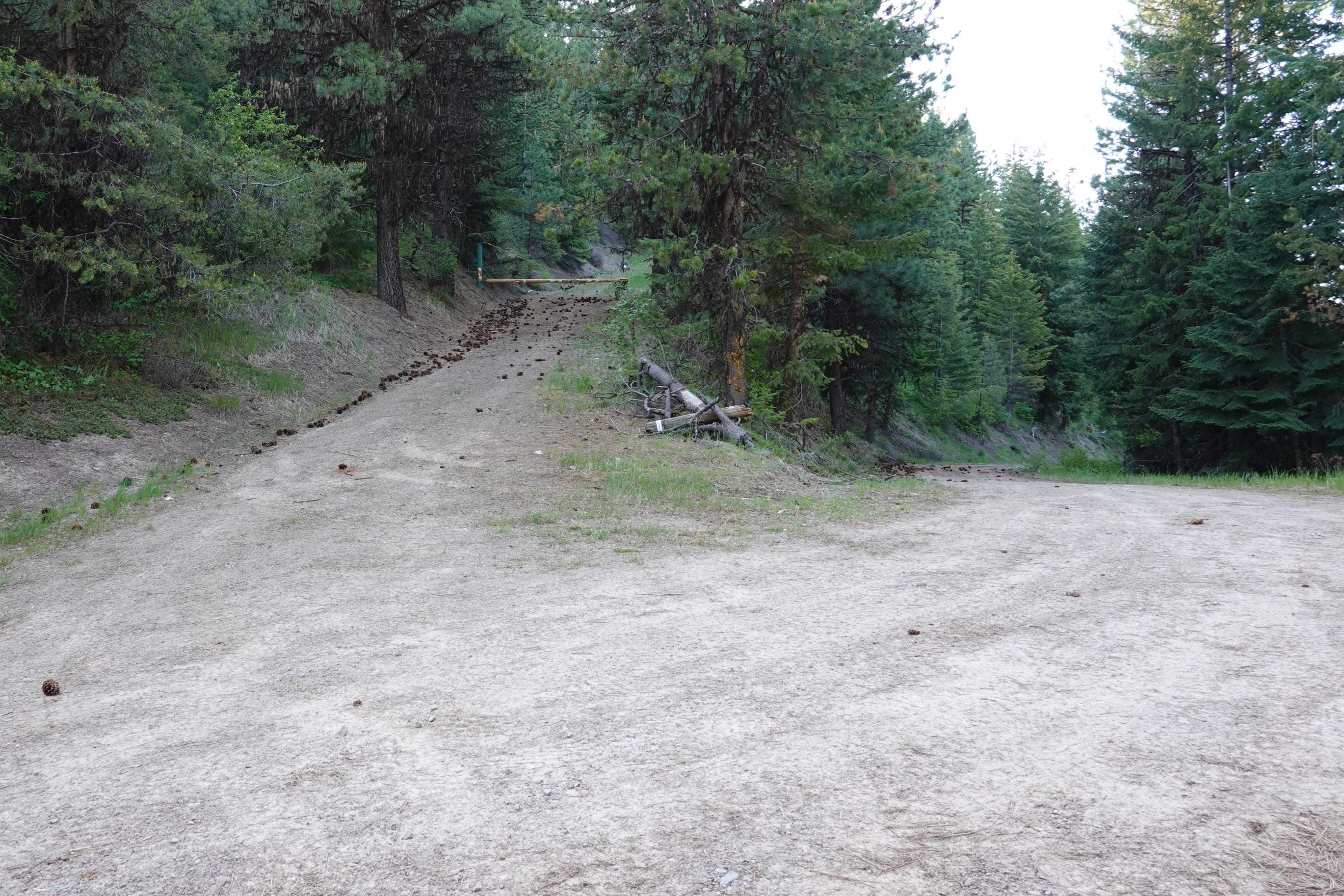
Walk up FS-7721 to the summit. FS-7721 is the obvious gated road that goes up to the east from Williams Pass. Stay on the main road as you ascend. There are no significant route-finding difficulties.
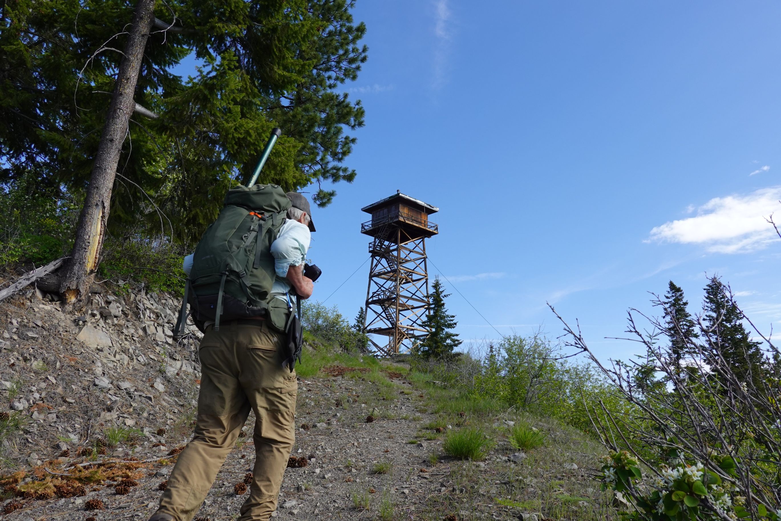
The summit has nice views and plenty of room to setup. There is a lookout at the top. The lookout is an R-6 flat cab on a 53-foot tower, that was moved to Williams Peak from Little Joe in 1977. It replaces a previous lookout that was built in 1934. (information from firelookout.com).
Pictures