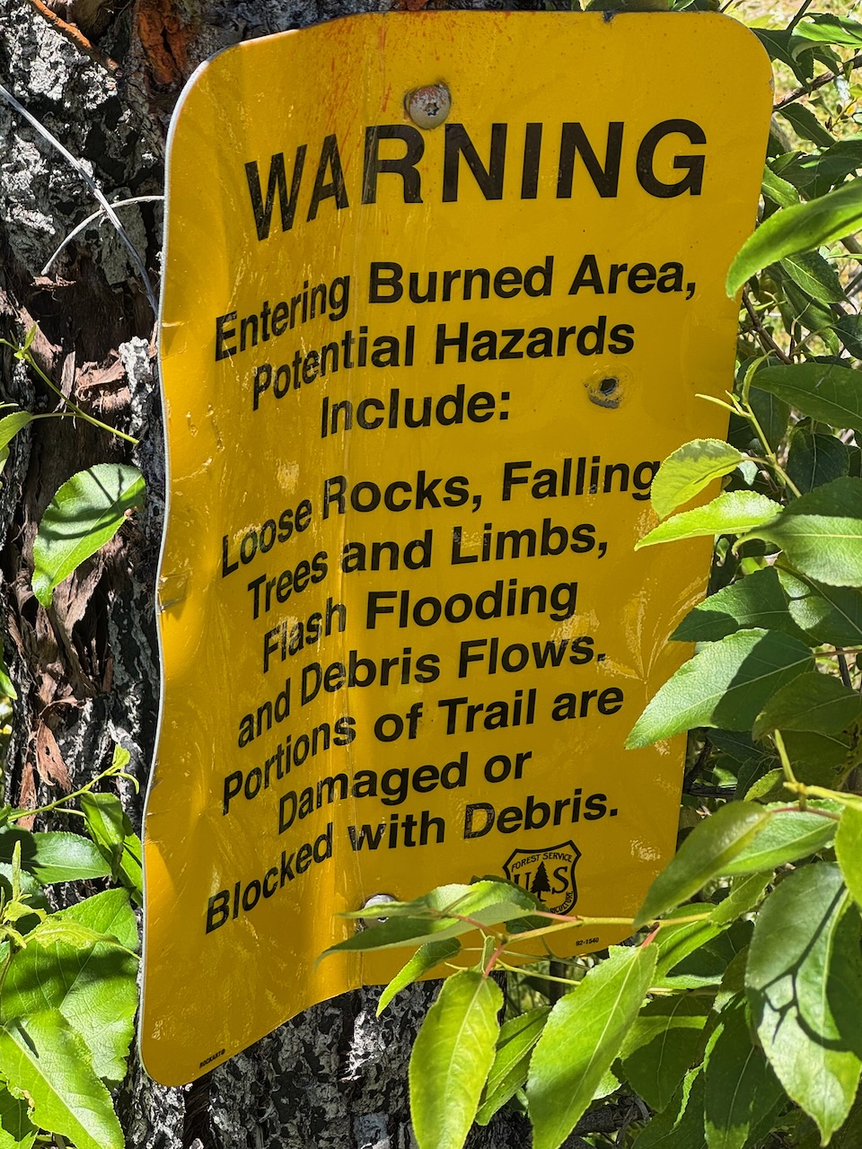
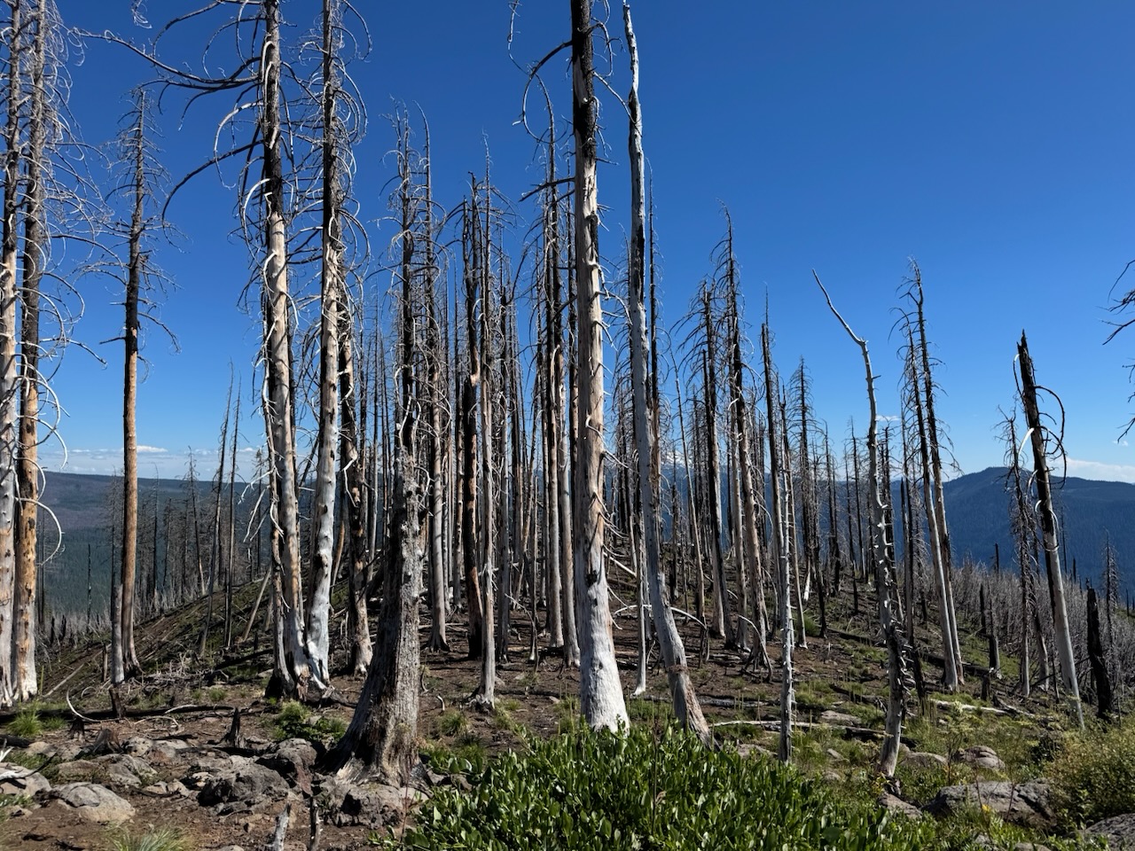
There are two Bunchgrass Ridges - this one is labeled as such in SOTA, but not on most public maps. The other one, CM-126, is labeled Bunchgrass Ridge on most maps, but SOTA does not give that one a name. Perhaps this will need to be inverted in the future. In any case CM-051 is a mildly difficult to access point slightly off the Bunchgrass trail, which is part of the Eugene to Crest trail. Both Bunchgrass peaks are accessible via the same trail, if enough time is dedicated to the effort. Both peaks are in a burn scar region from a few years back, but now publicly accessible again.
The trail is only about 1.8 miles total from the lower trailhead to the peak, with slightly under 1000ft of gain. Most of this is on trail, except for the last third of a mile that is off-trail scrambly up and down to get out to the final prominence. About half of the trail is recent burn scar, which makes the ground very dusty and ashy, and not much fun to ascend through. There are a couple of very pretty hillside meadows on the way.
The drive out to the trailhead was your usual forest road fare. Given the recent burn, it looked as though there has been some pretty active road maintenance through the area for firefighting and post-burn cleanup. It's priusable until the last fork off the main through road, when things get a little rougher and some modicum of AWD/4WD would feel more comfortable. If one wanted to trade hiking on trail for driving, there's an alternate trailhead that would add 2 miles to the overall trip, but swaps the same amount of gain and avoids the rougher road.
* Start by turning off Hwy 58 at (43.65207, -122.21522)
* Follow the main road (Forest Road 5883) for 6.3 miles
* Turn left onto spur 387 - the road gets a little rougher shortly past here
* (if you'd rather go to the easier-to-access trailhead, continue on FR 5883, take the second left after .4 miles, then after 1 more mile park at the trail crossing at (43.68620, -122.16024 after 1 mile)
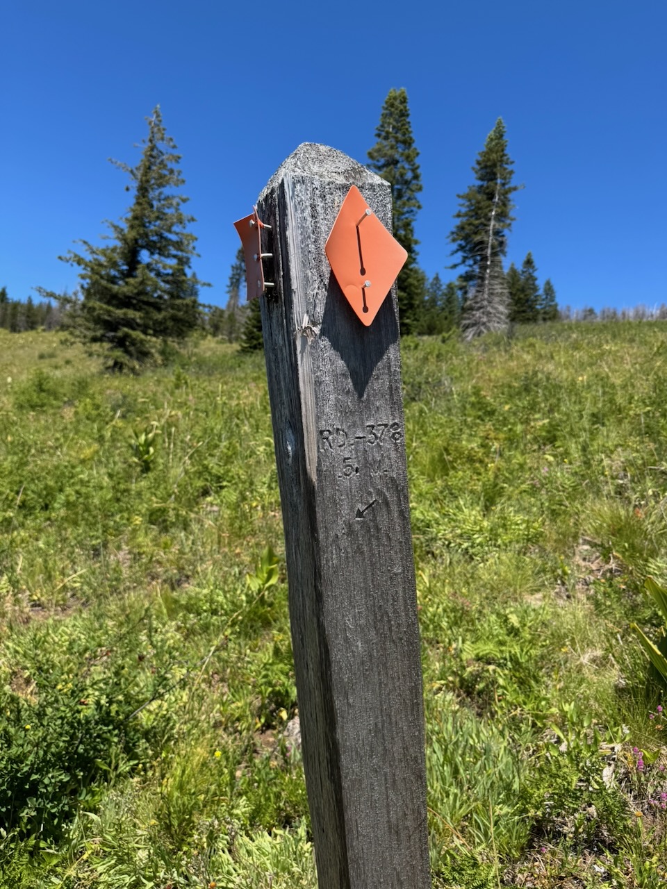
* The 387 spur goes for 2.5 miles before ending at the trailhead
The parking spot and trailhead is at (43.69731, -122.19546). Public maps call this "Bunchgrass Trailhead (lower)".
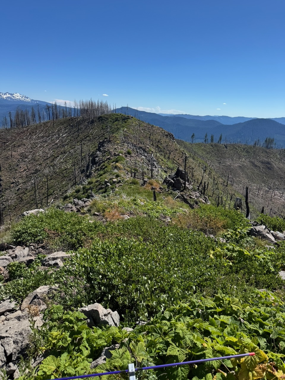
The hike is straightforward; start along the trail out back of the parking spot. After a quarter mile of rough loose trail, the trailhead spur meets the main ridge trail which is better graded and surfaced. The rest of the trail is largely a nice ridge traverse with varied and interesting scenery through meadows, bedrock, and burned out forest.
After about 1.5 miles of hiking, at (43.70145, -122.21813), turn north off the trail and start following the spur ridge. Unfortunately there's a bit of a saddle between the trail ridge and the final prominence, so you'll be scrambling down and then back up to reach the SOTA AZ. The bushwhack is relatively easy going but requires some navigation to find a path off the ridge, through the saddle, and back up to the prominence. The actual AZ is bouldery and shrubby, but I was able to find a comfortable enough place to setup among the rocks, and long antennas would fit with a bit of scrambling around. Views are excellent.