W7O/CM-024 Irish Mountain
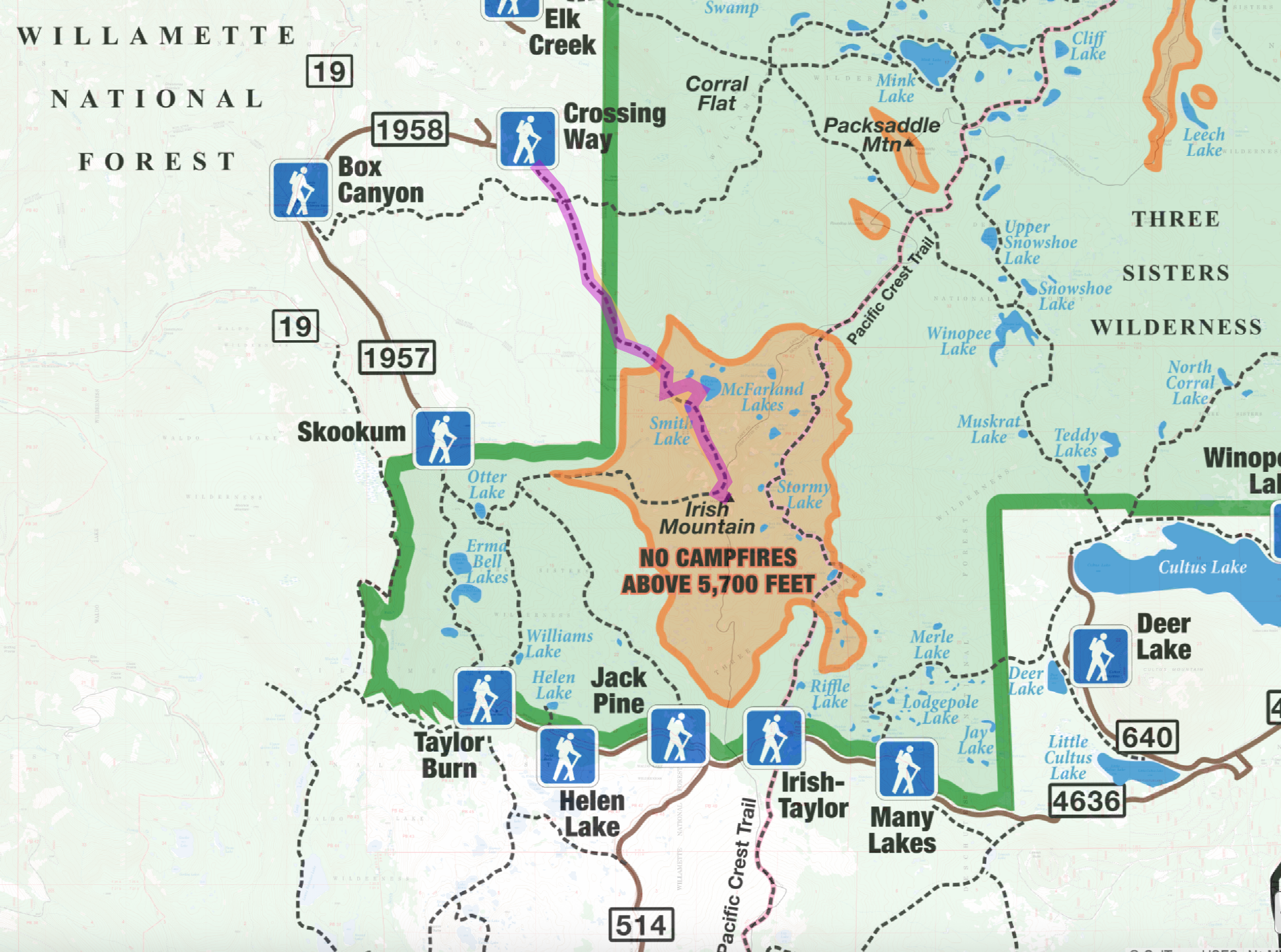
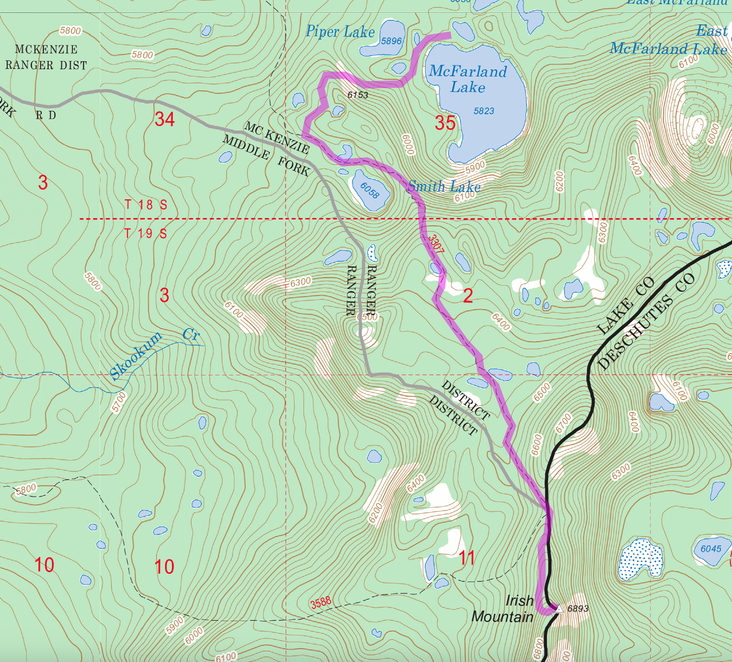
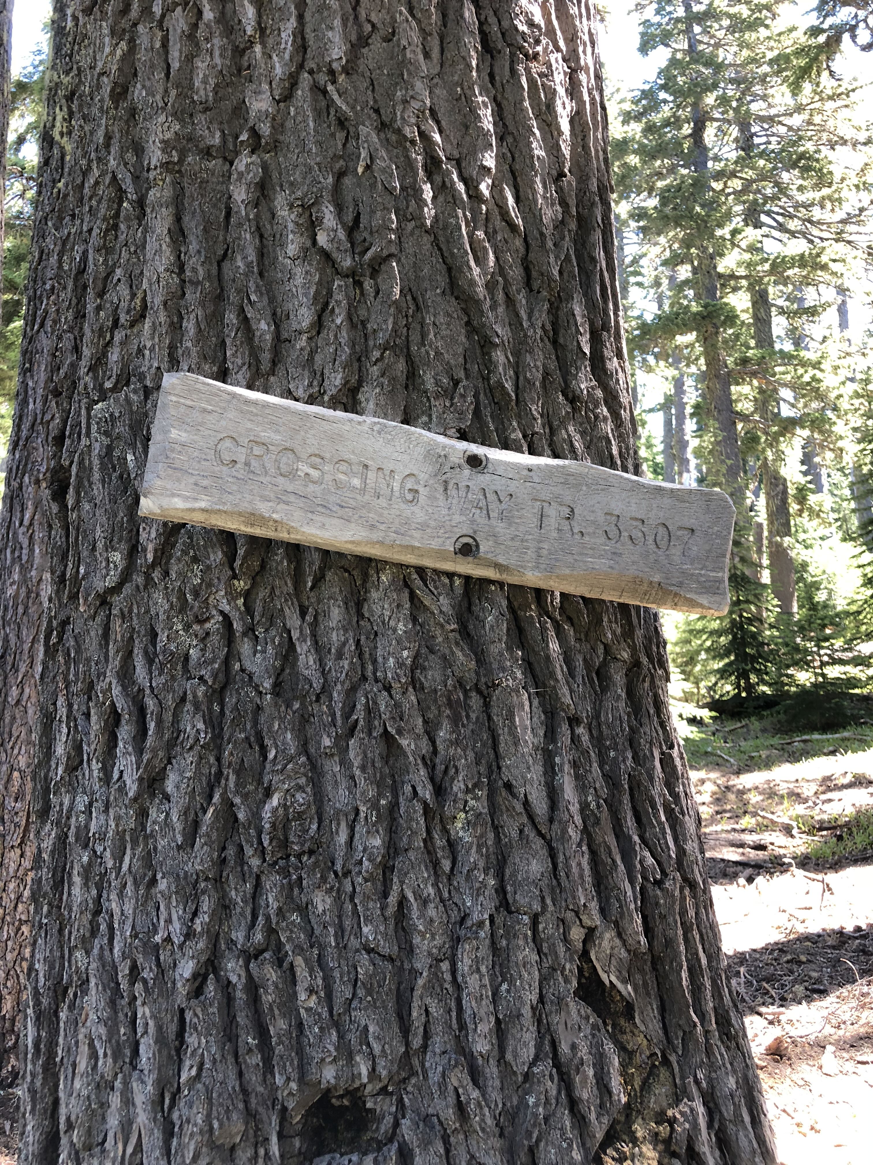
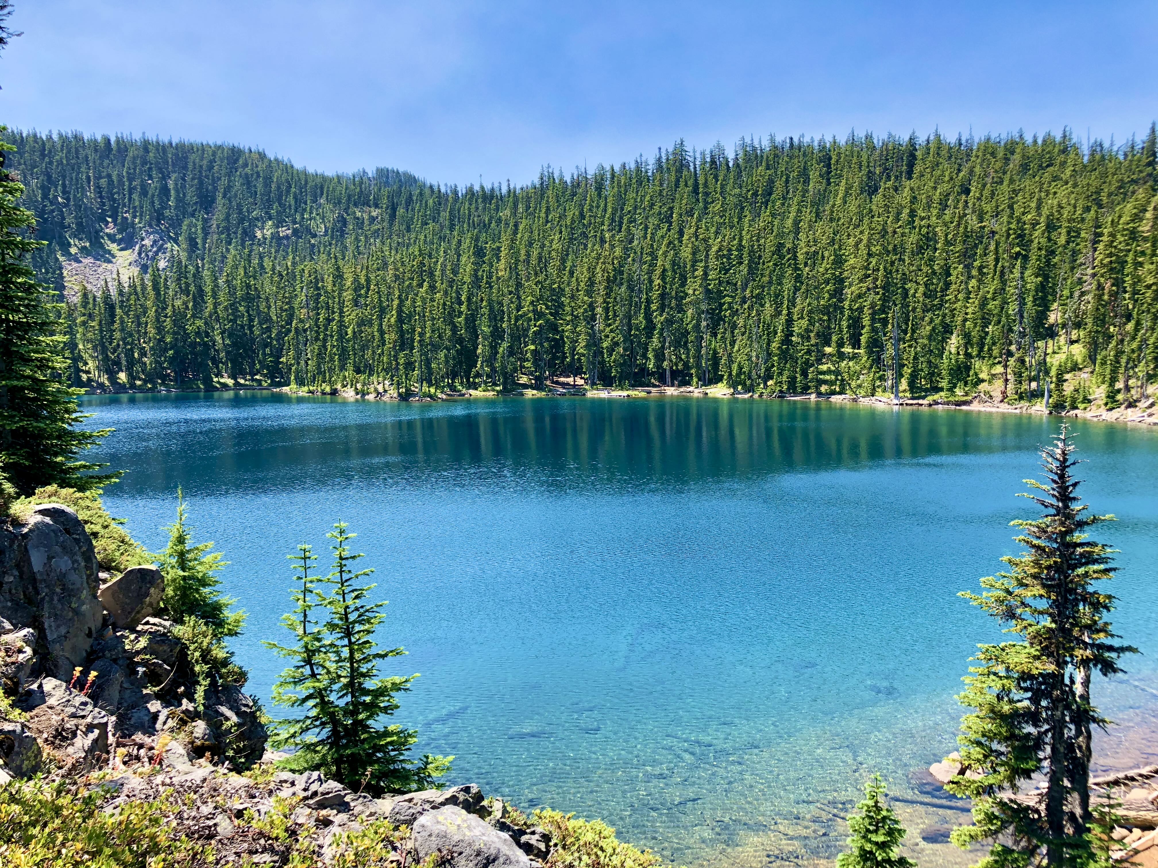
I activated Irish Mountain in July 2018 while backpacking with family in the Three Sisters Wilderness. We used the Crossings Way trailhead (via Forest Road 1958) and hiked to McFarland Lake where we set up camp. This is along Trail #3307, Crossing Way Trail. It was from here I hiked up to Irish Mtn as a side trip to activate the summit.
The hike from the trailhead to McFarland Lake is 4.75 miles with about 1500’ elevation gain. From the lake to the summit, it’s another 2.4 miles with about 1000’ elevation gain. The trail was in good condition in 2018 with little downfall.
Irish Mtn can also be accessed from the Skookum trailhead - Otter Lake (via Forest Road 1957), which is shorter if planned as just a day hike. This route uses Trail #3588, Irish Mtn Trail.
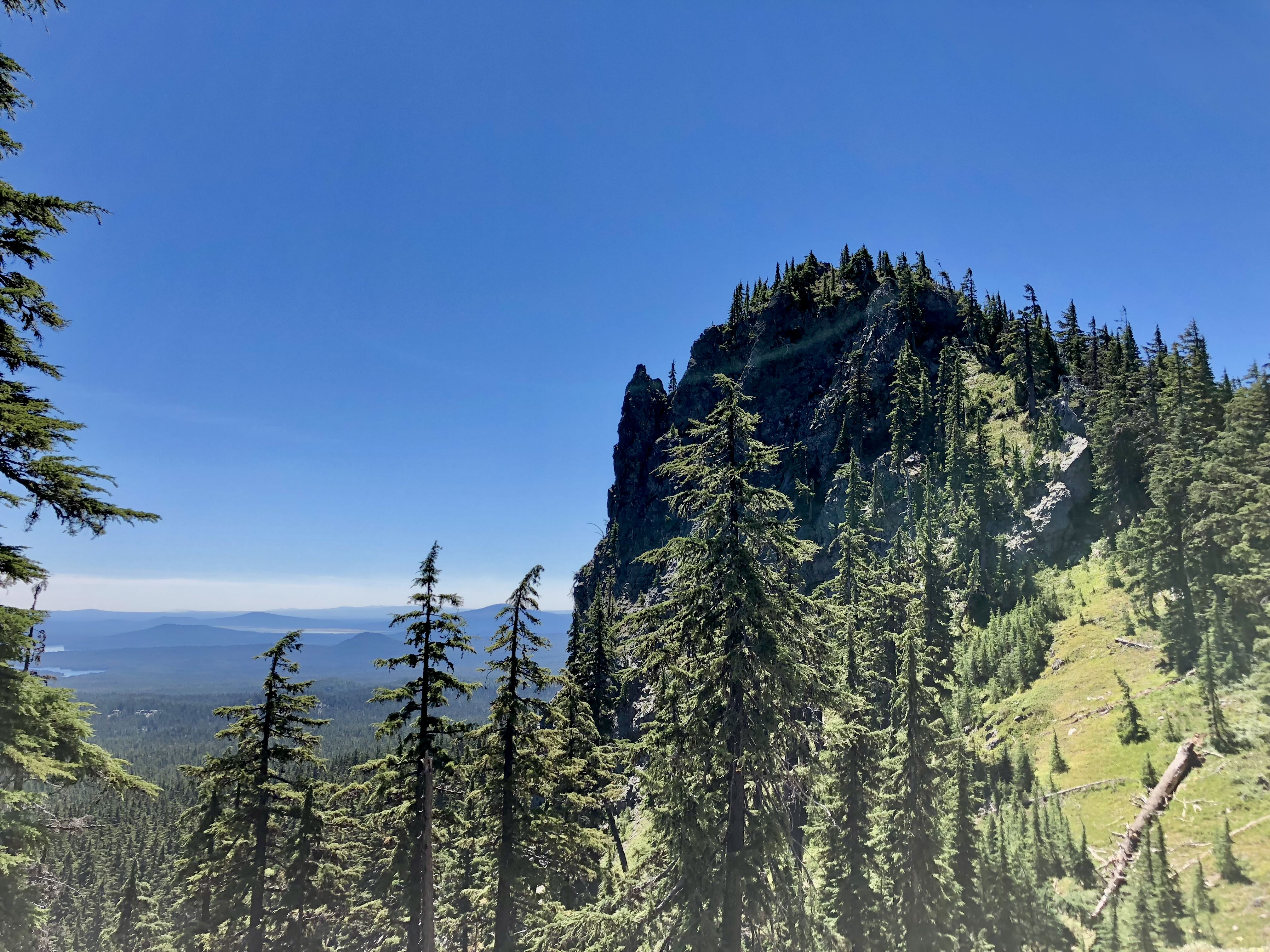
Both trails will get you close, but not all the way there. The two trials intersect about 1/3 mile north of the summit. From here it’s a steep cross country trek up forested but open terrain until you get to within a few hundred yards of the summit. At this point it gets very steep. I just went slow until I found a position in the activation zone where I felt comfortable to set up.
While there are trees around to hang wires etc., an antenna with a smaller footprint will work better up here. I used a vertical whip with a single counterpoise.
I had some cell coverage, but it was spotty. It may be better now.
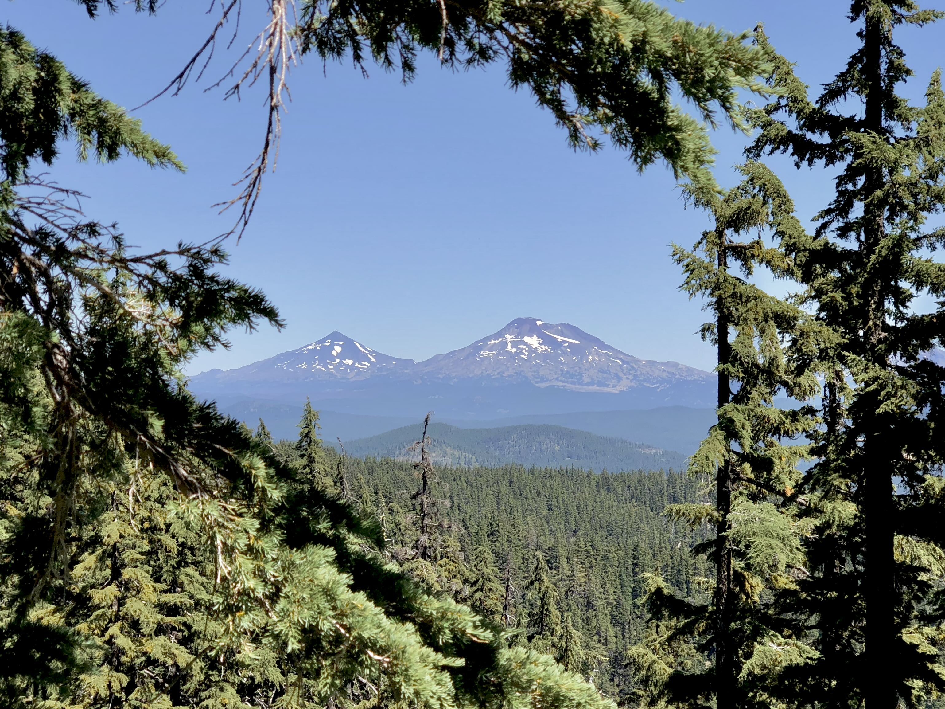
In 2018, this area was beautiful and had not been affected by fires. I’m not sure if this is the case now and the area and trail conditions may have changed. I’d check with the McKenzie River Ranger District (541) 822-3381 for current conditions.