This unnamed summit in the Rattlesnake Recreation Area is a good option for a newer activator, especially in an area where many summits require full bushwhacks. I chose it early on because there is a trail that gets you most of the way, and although I expected to be off-trail for the final stretch, there is actually a clear social trail along the ridge. It's close to town, physically reasonable, and has reliable cell service, which makes it a low-stress activation.
Getting There
This summit is located in the Rattlesnake National Recreation Area in Lolo National Forest, a very popular area for hiking and mountain biking.
There are several parking options. The main Rattlesnake Trailhead is large and the most reliable; I've never personally been unable to find parking there. Overflow parking is available farther south along Sawmill Gulch Road, and there is also a smaller trailhead partway up that road with limited space.
I chose to park at the Ravine Trailhead on Grant Creek Road. This is the most direct option for this route, but it comes with a tradeoff: the parking area is very small. On a previous attempt, I had to turn around because there was nowhere to park. This time I got lucky and found a spot, but it's something to plan around.
Route
From the Ravine Trailhead, I followed the Ravine Trail for about 2.8 miles, gaining roughly 1,300 feet. The trail is well-defined and climbs steadily through forest.
At the junction with the Snowbowl Overlook Trail, I turned left (east) and followed it for about 0.3 miles. From there, the final stretch to the summit is not shown on official maps, but there is a clear social trail along the ridge that makes the route easy to follow.
I originally expected to bushwhack this section, but that ended up not being necessary.
Activation Zone
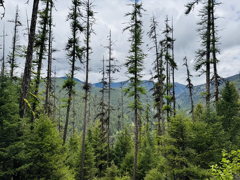
The summit is in dense forest with no real views, but it works well for radio. There are plenty of branches available for antenna support, and space is workable even if it's not wide open.
Cell service is solid due to the proximity to Missoula, which makes spotting straightforward.
Other Notes
This area is extremely popular with mountain bikers, and this route would likely be much faster and more efficient on a bike. I've done it on foot both times, but for someone with even moderate biking skills, this would probably make for a quick and fun activation. I'm not a skilled mountain biker, so hiking was the better choice for me.
Final Thoughts
This is a good beginner-friendly summit for the Missoula area. It avoids the full bushwhack experience that many local summits require while still offering a bit of route-finding at the end.
The main drawback is parking, especially at the Ravine Trailhead, but there are multiple access options if that lot is full. I've done this route twice and would do it the same way again, assuming I could get a parking spot.
If you’re new to SOTA and looking for something close to town with a relatively straightforward approach, this is a solid choice.