WA7OOO and I did the first SOTA activation of Sperry Peak as part of a loop that included Vesper Peak, starting from the Sunrise Mine Trailhead. We arrived at the trailhead at about 7:30am on a Saturday morning in mid-August, and found it completely full already (the last few miles of the road has some big potholes, but we saw small sedans parked at the trailhead). We found parking about 0.4 mile back down the road in a spacious pull-out area. A National Forest Recreation Pass is required, there is no kiosk or cell signal at the trailhead, so it's not possible to buy a day pass there. Most of Mountain Loop Highway (the final 27 miles before the trailhead) didn't have a cell phone signal for us, so be sure to post an alert, check trip reports, etc. well before you get there.
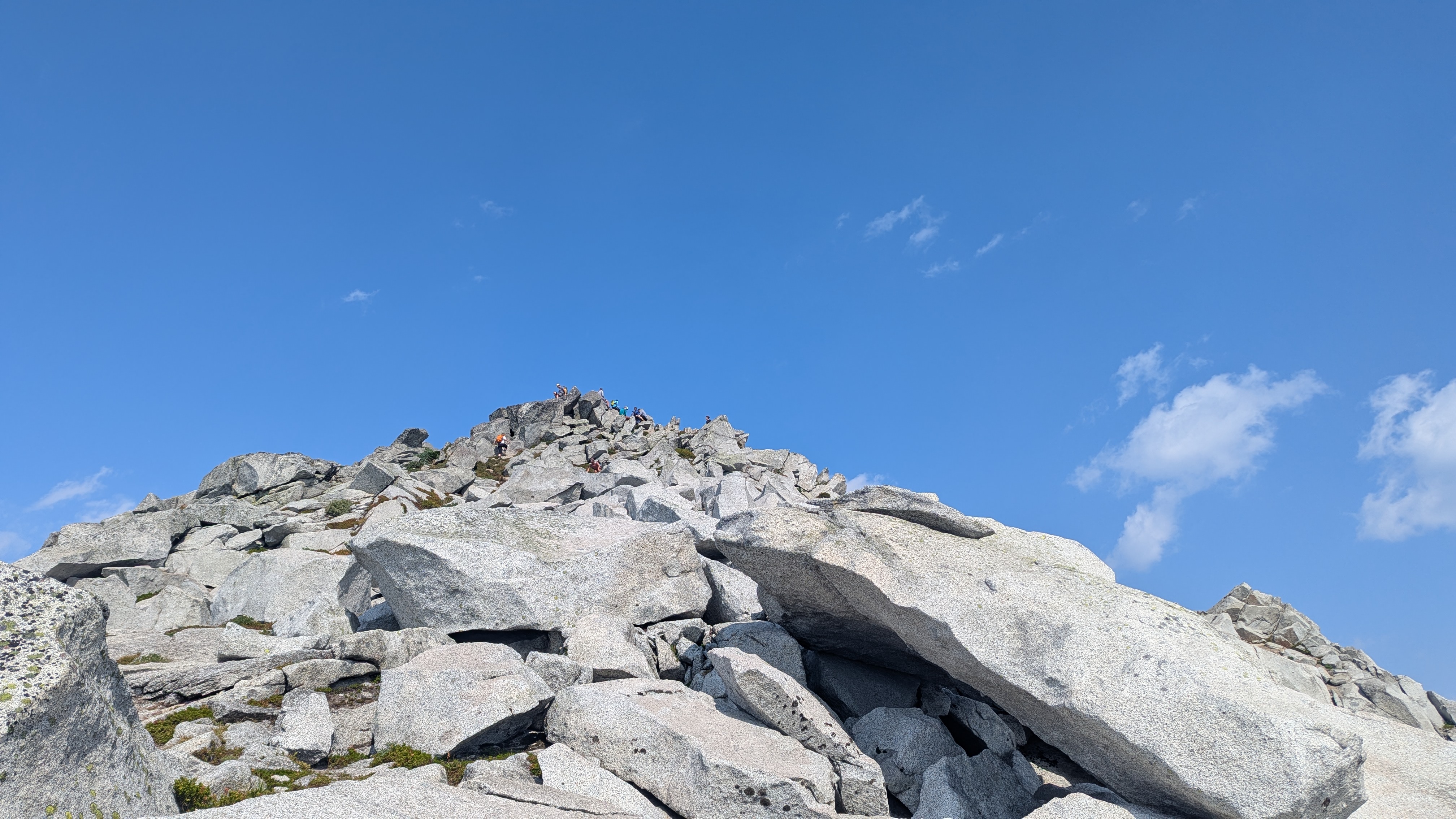
The trail from the Sunrise Mine Trailhead to Vesper Peak is heavily trafficked and well described elsewhere (e.g. Washington Trails Association has over 500 trip reports, 4 miles one way, 4,000 ft elevation gain). We got to the summit at about 10:30am and found the activation zone of Vesper to be relatively spacious and easy to find an operating location with a little distance from the crowds. Not having any cell signal, we posted a spot using APRS on the FT5R and with the W7W campout on, we quickly got plenty of 2m S2S QSOs, including on SSB and CW with the Quansheng UV-K6, thanks to Brian's NR7Y excellent firmware. It was a busy summit with a lot of people moving around, taking photos, and flying drones.
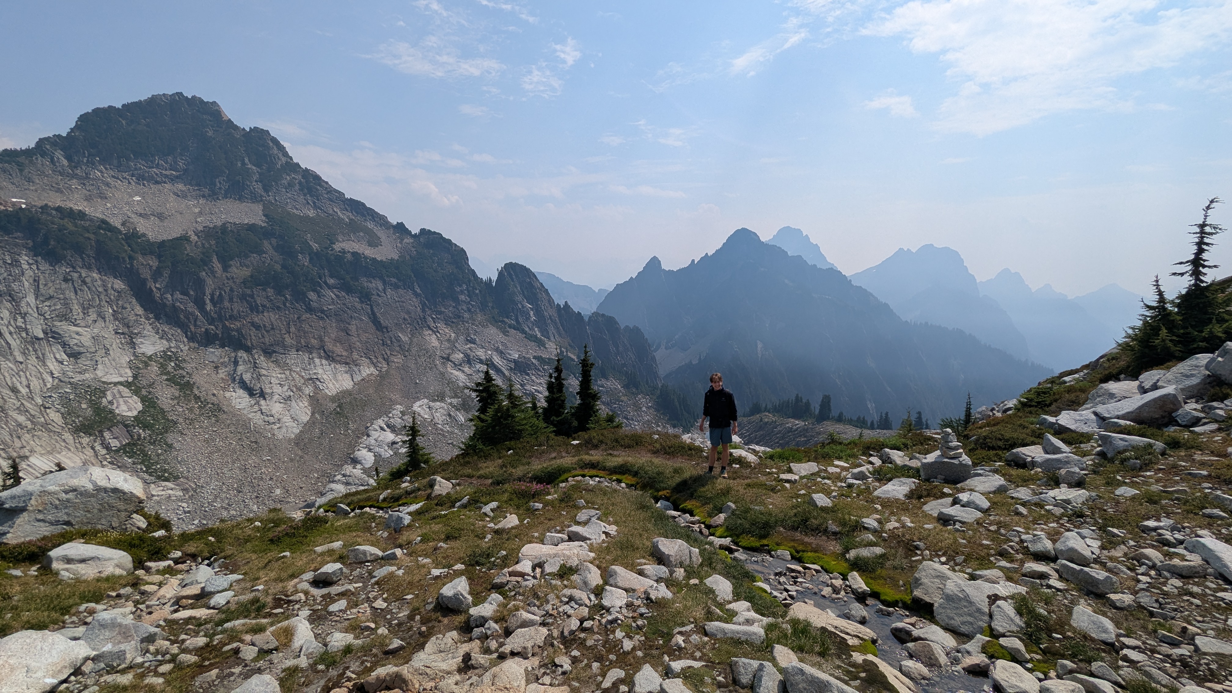
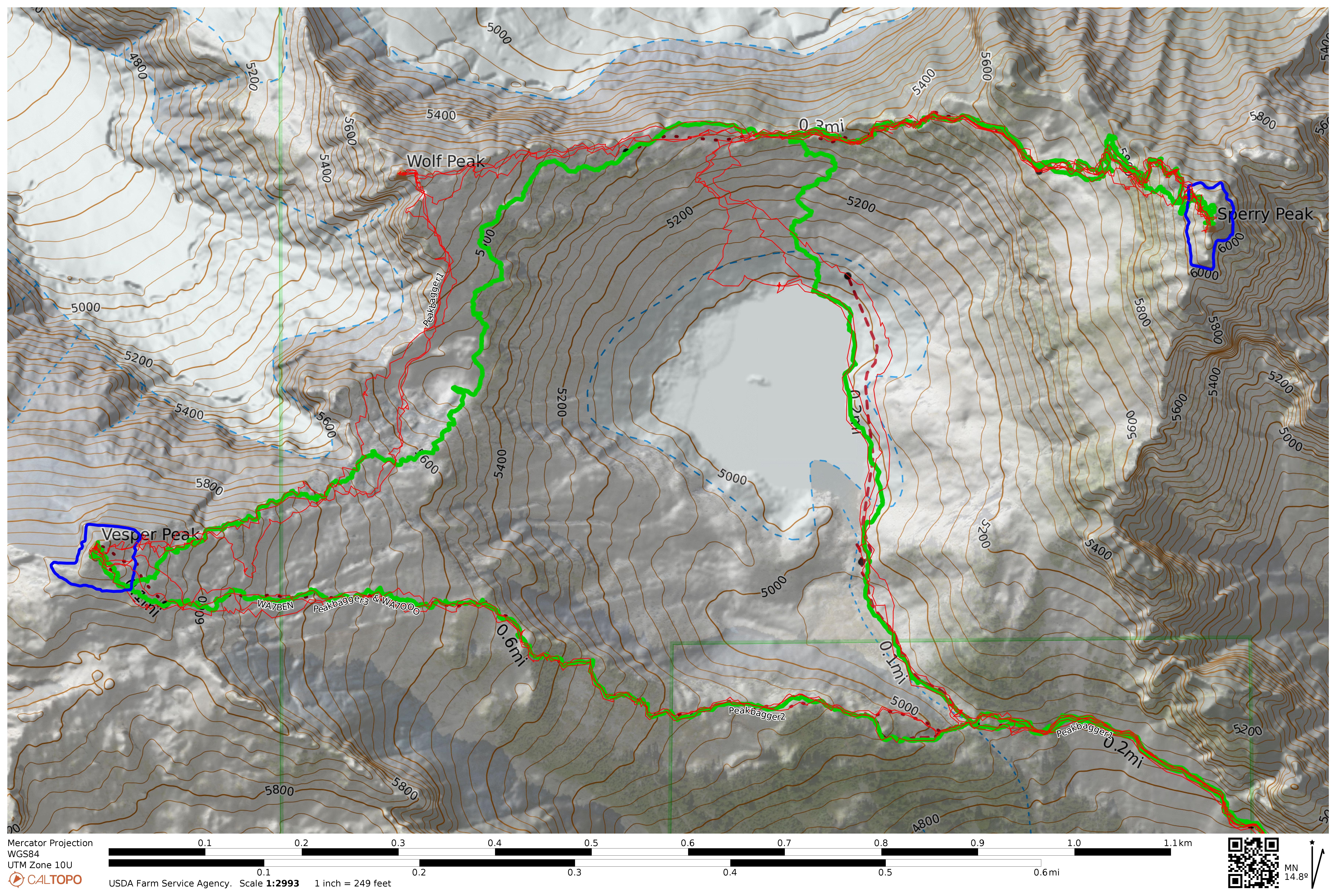
After activating Vesper Peak we backtracked to get off the steepest part of the summit, then turned north-east to follow the ridge linking Vesper to Wolf Peak. It's granite slabs all the way, much like the way up to Vesper, and we were glad to be wearing approach shoes with sticky stiff soles. We did not summit Wolf Peak (it's not a SOTA summit), but headed down to the vegetation below it to the southeast, and then gradually walked up toward the ridge between Wolf and Sperry, following the vegetation. This was pretty easy going, with a thin, faint path for most of the way, and much less exposure than it appears when looking down at it from Vesper Peak. We enjoyed excellent alpine views and some quiet, there were no hikers on this section, though we could still hear people at the lake below us. The ridge led us to a large talus bowl where the route-finding challenges began. There are numerous small rock cairns, and we had downloaded some tracks from Peakbagger to help with navigation. Our map, with those tracks and our own route is here: https://caltopo.com/m/VM8MHU6 and the GPX file is attached to this post.
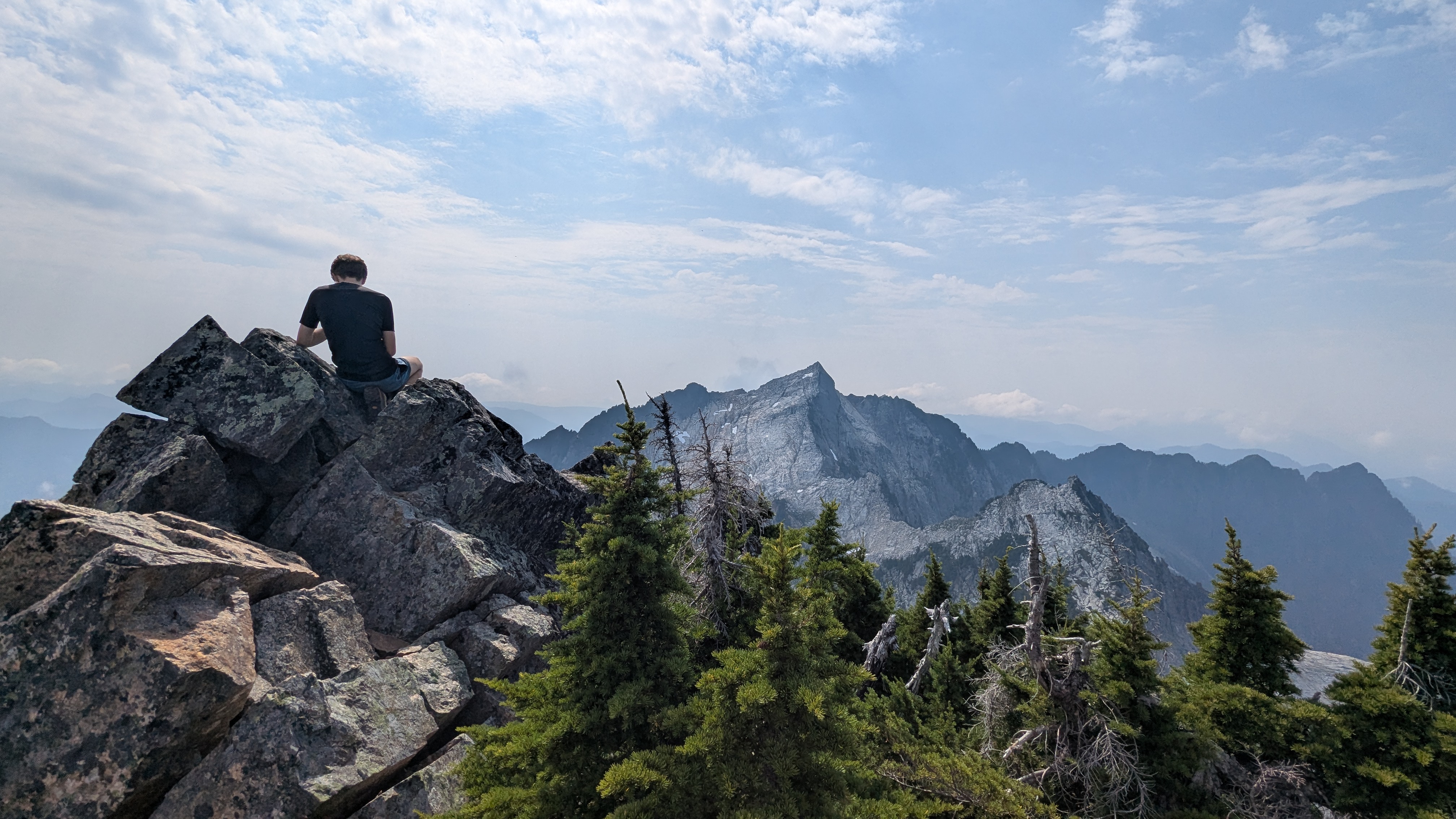
Moving on to the summit block there are many faint trails leading up in different directions through trees and rock. After a bit of trial and error we found our way up through through the trees. Although it's very steep, the vegetation is dense so there are often branches to grab, and exposure is generally minor, a typical class 3 scramble. After pushing up through the trees there is a short fun boulder scramble to the summit. We arrived at about 2pm, had lunch, and I attempted to post a spot again using APRS, but I couldn't get it to work. I guess this was due to user error rather than something wrong with the APRS network because I later saw that my packets had been received from Sperry Peak at aprs.fi. I called CQ on 146.56, guessing that a few operators at the W7W campout might be monitoring. We got a few QSOs right away, including Nathan N7NWT who very kindly posted spots for 2m FM and CW for us. After some more 2m FM QSOs and a fun 2m CW pile-up, we found an easier way down through the trees then the way we came up, a little south of our ascent. After retracing our steps about half-way along the ridge to Wolf Peak, we turned steeply downhill onto the granite slabs and found our way to the lake.
We stopped at the lake to filter water and have a rest, and then walked around the lake to rejoin the main trail to Vesper Peak. The main trail was busy with people walking at a variety of speeds, mostly heading back to the trailhead.
I carried our KX3 but didn't set it up at all so we didn't make any HF contacts. Although there was plenty of space for an inverted vee EFHW at both summits, the W7W campout produced plenty of QSOs for us on 2m, and we knew we couldn't stay long on the summits to get back to the car safely before sunset. Our car-to-car distance was 9.6 miles over 9.5 hours with a total ascent of 5,300 ft.