Father Mountain, OR | May 2020

Summit
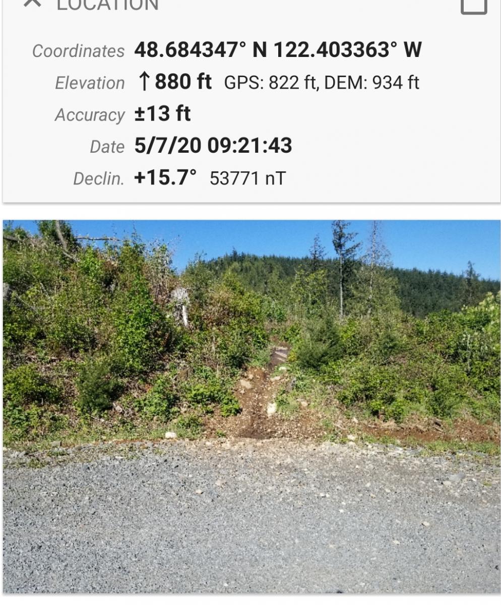
This is a bushwack - not too long - but through a cluttered forest floor with lots of vines, branches and logs to trip you up - so that you might wish it were shorter. Out of the way on the South Coast near Port Orford, it will not likely see much traffic as the relatively close by Humbug Mountain W7O/SC-192 features a nice trail all the way to the top. The forest road to Father Mountain will probably accommodate a thoughtfully-driven passenger car, but I wouldn't say it was Priusable.