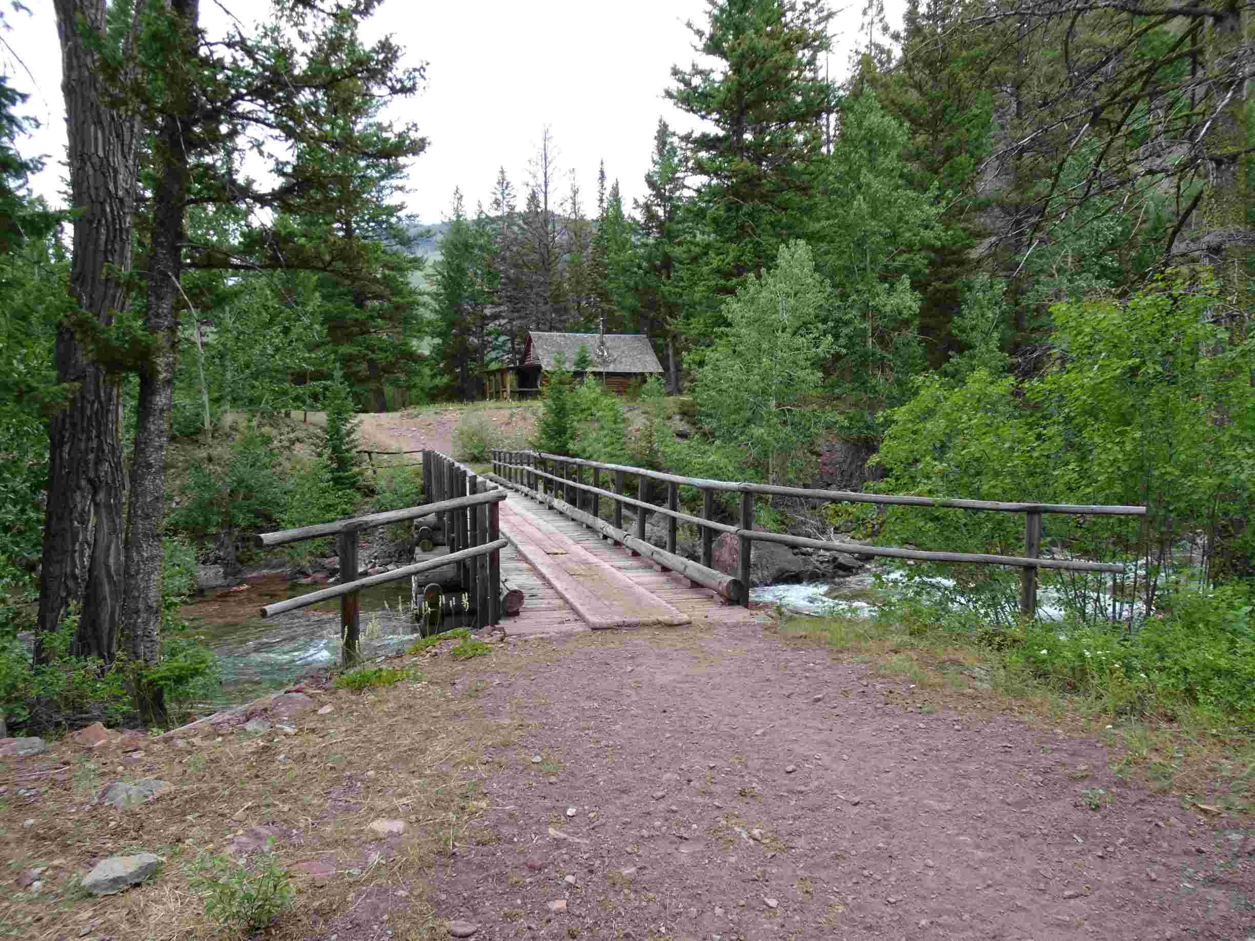
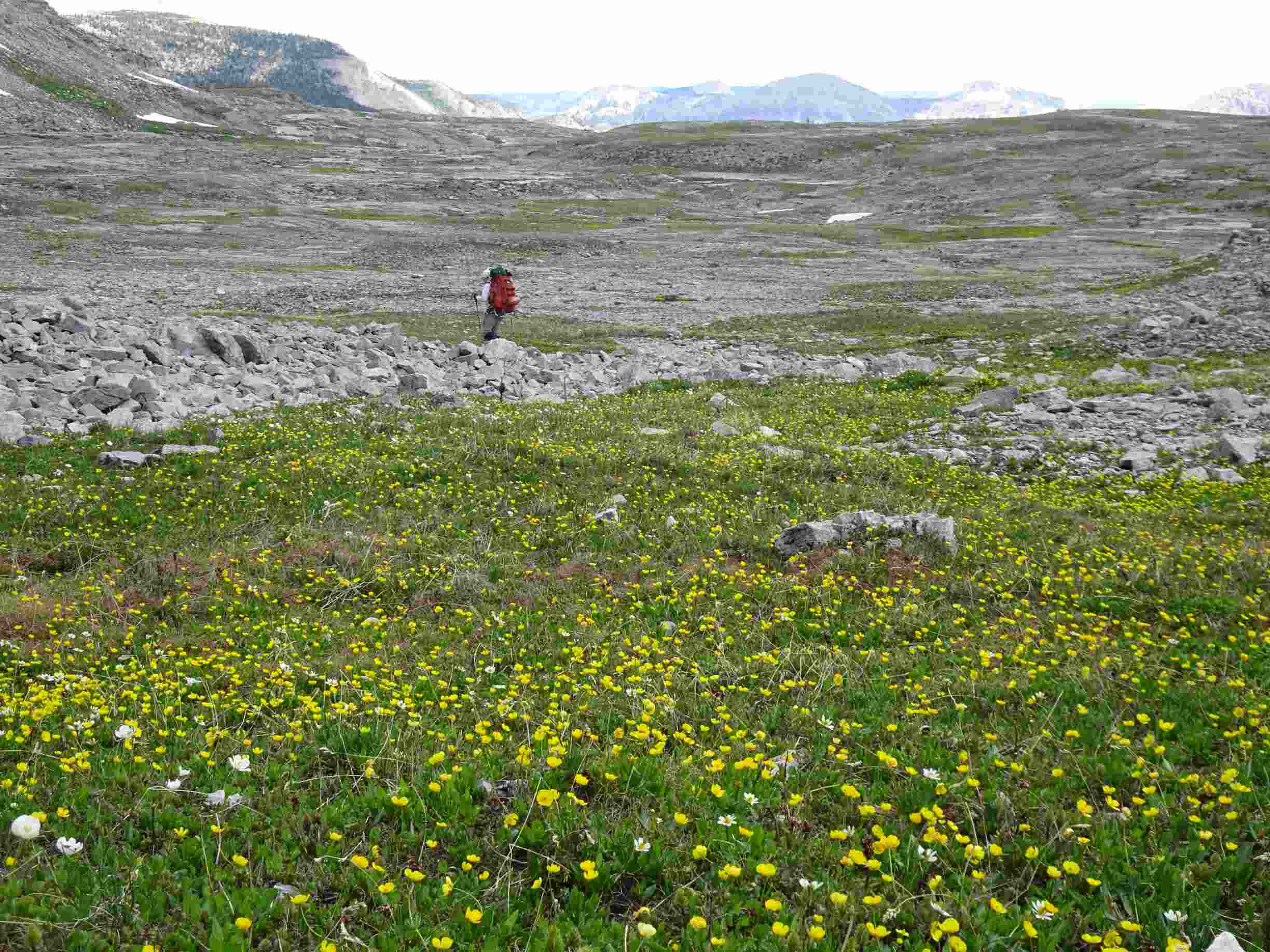
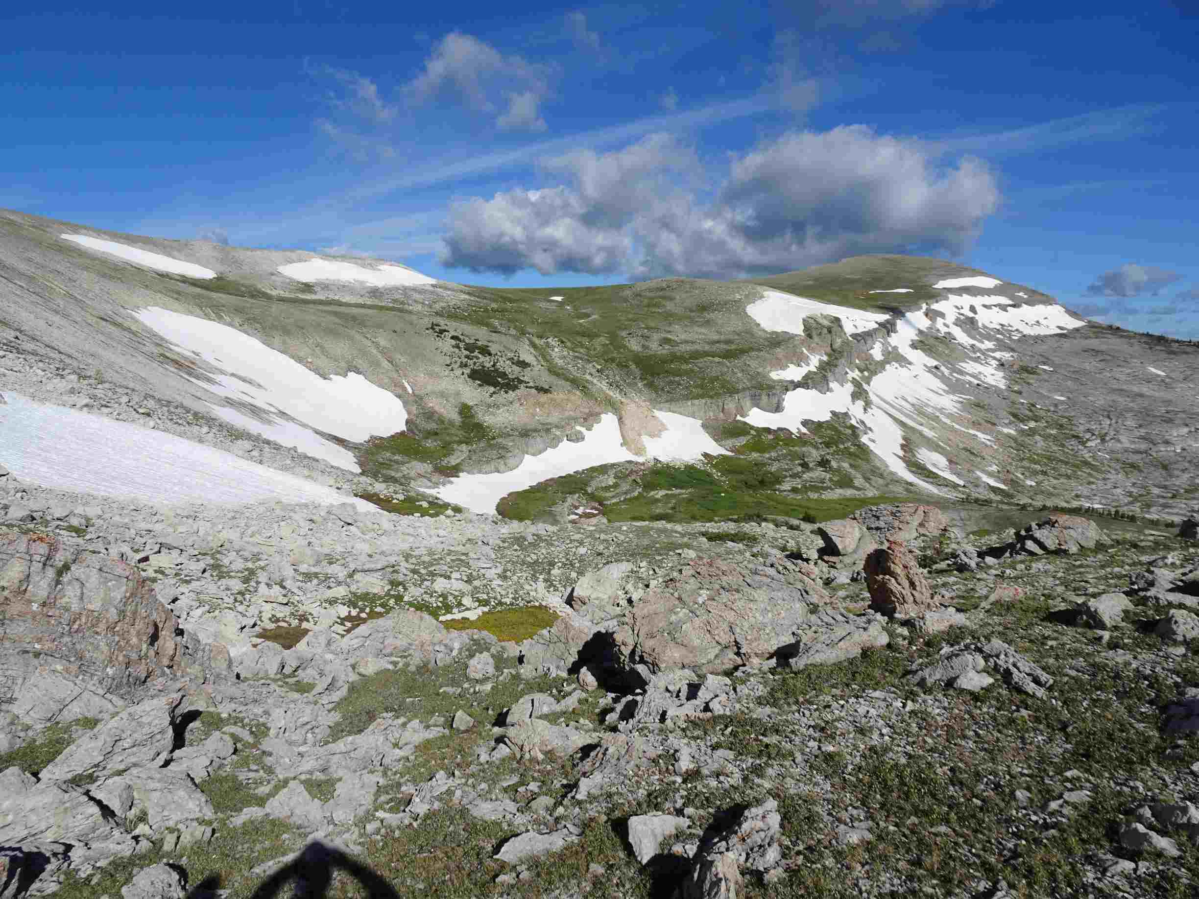
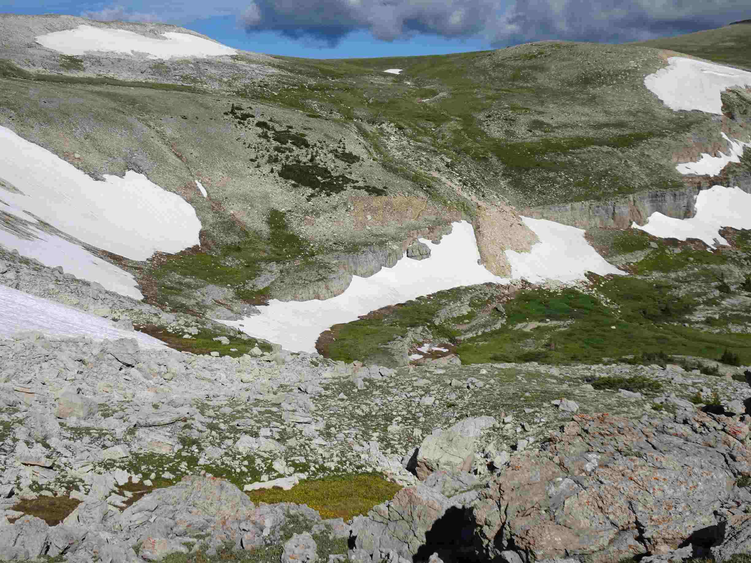
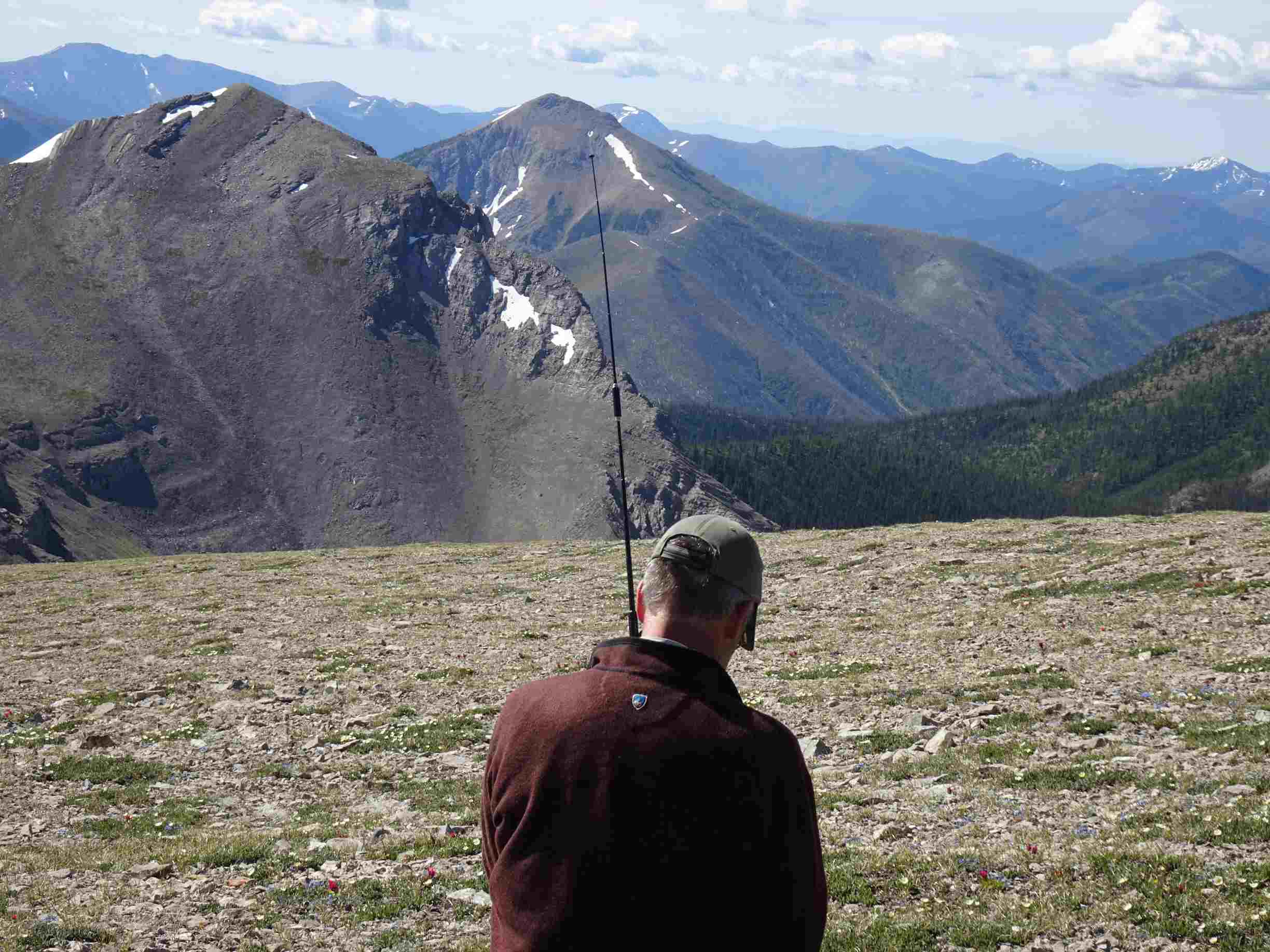
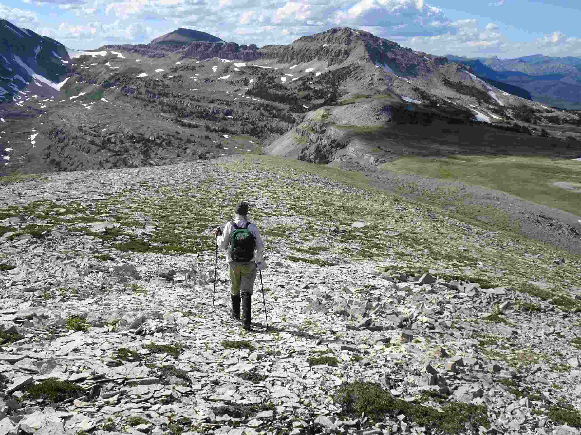
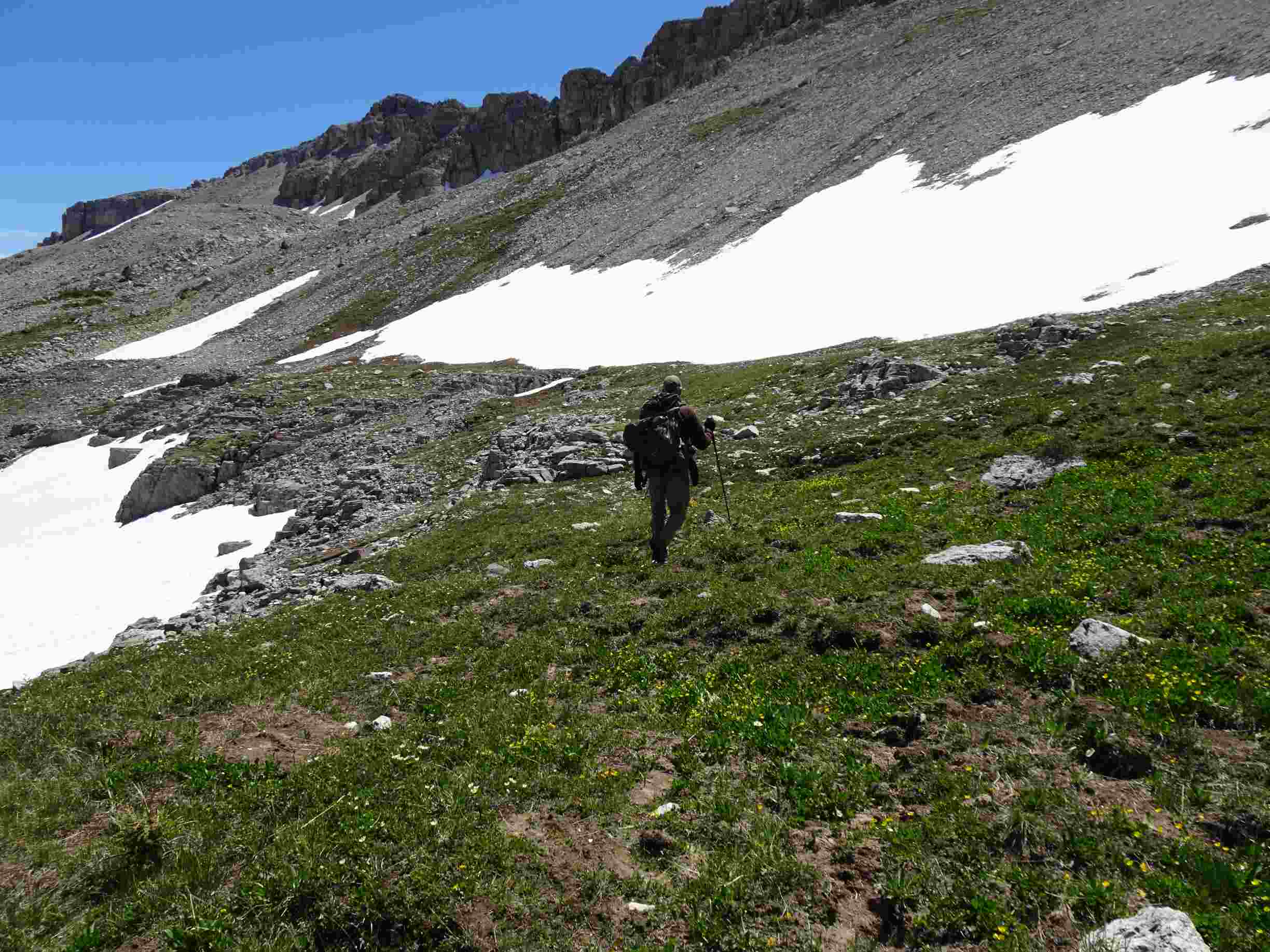
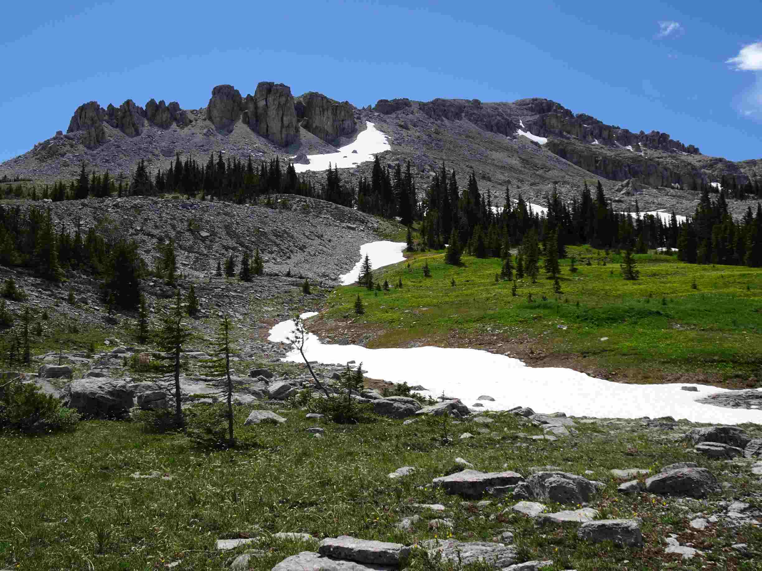
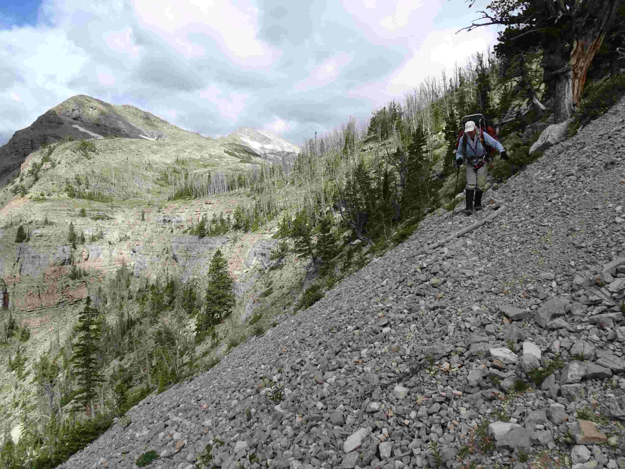
Flint Mountain may be easily climbed up its southeast sloping ramp from the Scapegoat Plateau. The approach is 17 to 21 miles – depending upon which route one chooses to access the plateau. The cliff band that guards the eastern side of the mountain slopes downwards to the left (south) and can easily be topped towards the left. After topping the cliff band, walk along the bench northwards until you reach a trail (visible in photo) that ascends the steep side-slope towards the summit ramp. Follow the grassy ramp to the summit. The summit cliffs are sheer to the southwest and north, and the views are spectacular in all directions. Triple Divide Peak (not a SOTA summit) is 1-mile further along the ridge & is the divide between the Sun, Blackfoot, and Flathead Rivers. The Plateau is prime grizzly bear habitat and the grassy summit ramp is a foraging area – so be “Bear Aware”!