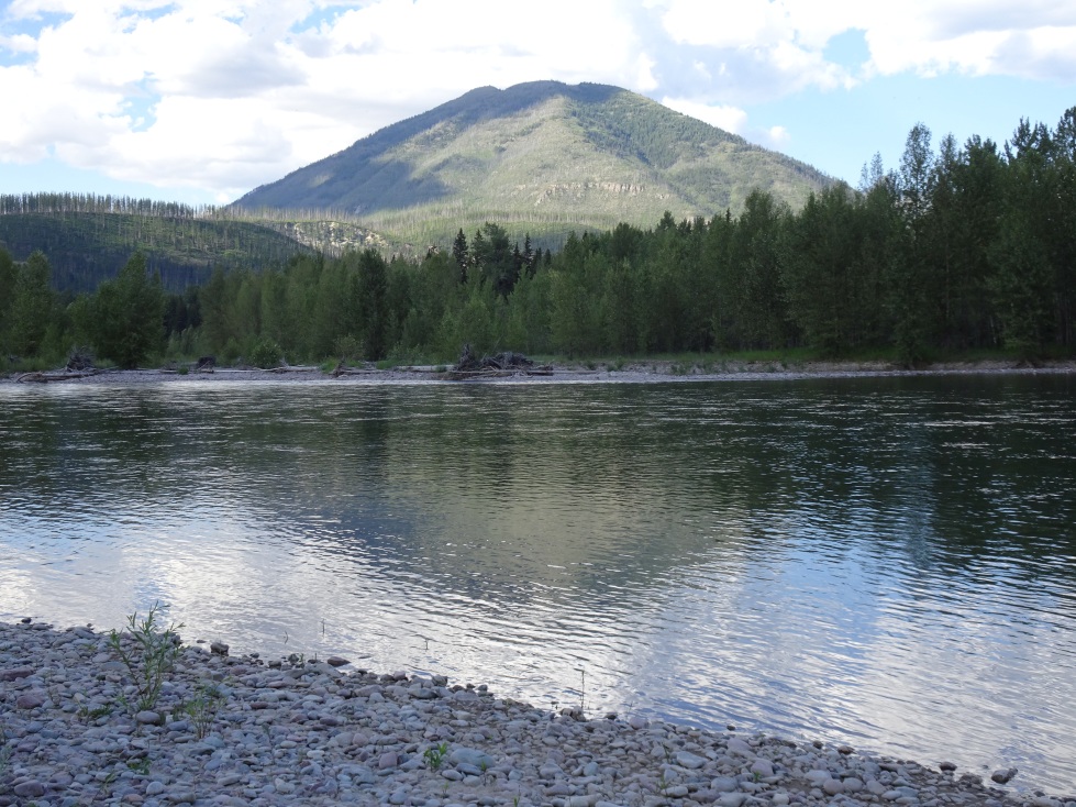
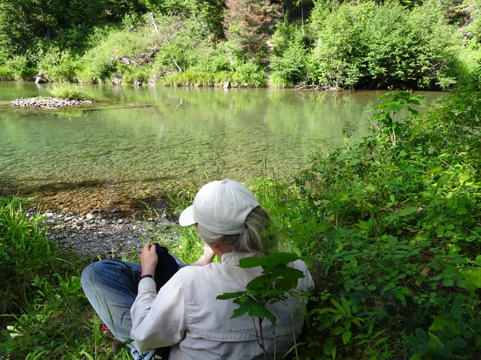
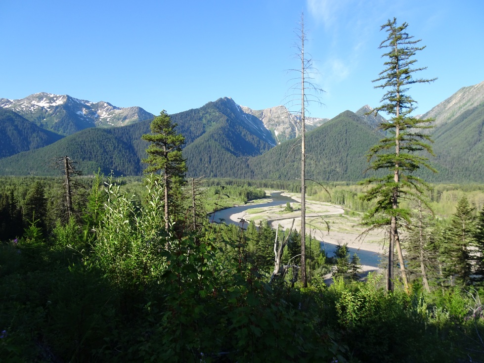
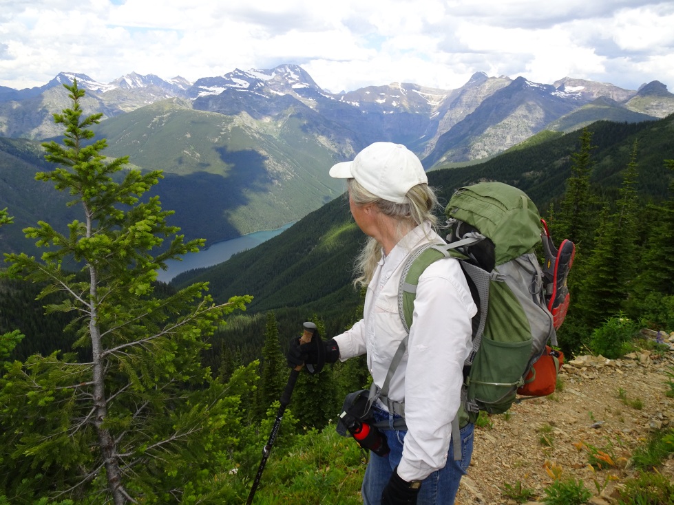
The Loneman hike is long but rewarding. The trail is 7.4 miles long with 3,900 feet of vertical elevation gain. It is necessary to ford both the Middle Fork of the Flathead and Nyack Creek. The hike is most feasible in August or September once streamflows have subsided and the NPS has had time to clear the trails. Wading shoes and a trekking pole or a sturdy stick are advisable for the crossings. The flow in the Middle Fork was about 2,300 cfs for our crossing, which was about hip deep for me (6’-2” tall). The crossing would become quickly troublesome at flow rates that are higher than this.
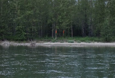
The crux of the hike is to find the parking area and the proper location to ford the Middle Fork. The turn off to the trailhead is on Hwy-2 between mile markers on 164 & 165 east of West Glacier. Park out of the way and hike east alongside the tracks to just before the highway bridge. Cross the tracks and look for orange markings on trees on both sides of the river. This is the approximate location to cross.
The following link offers an excellent trail description
http://enjoyyourparks.com/glacier-loneman-lookout.html
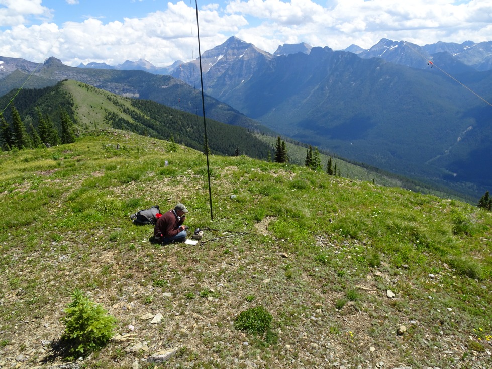
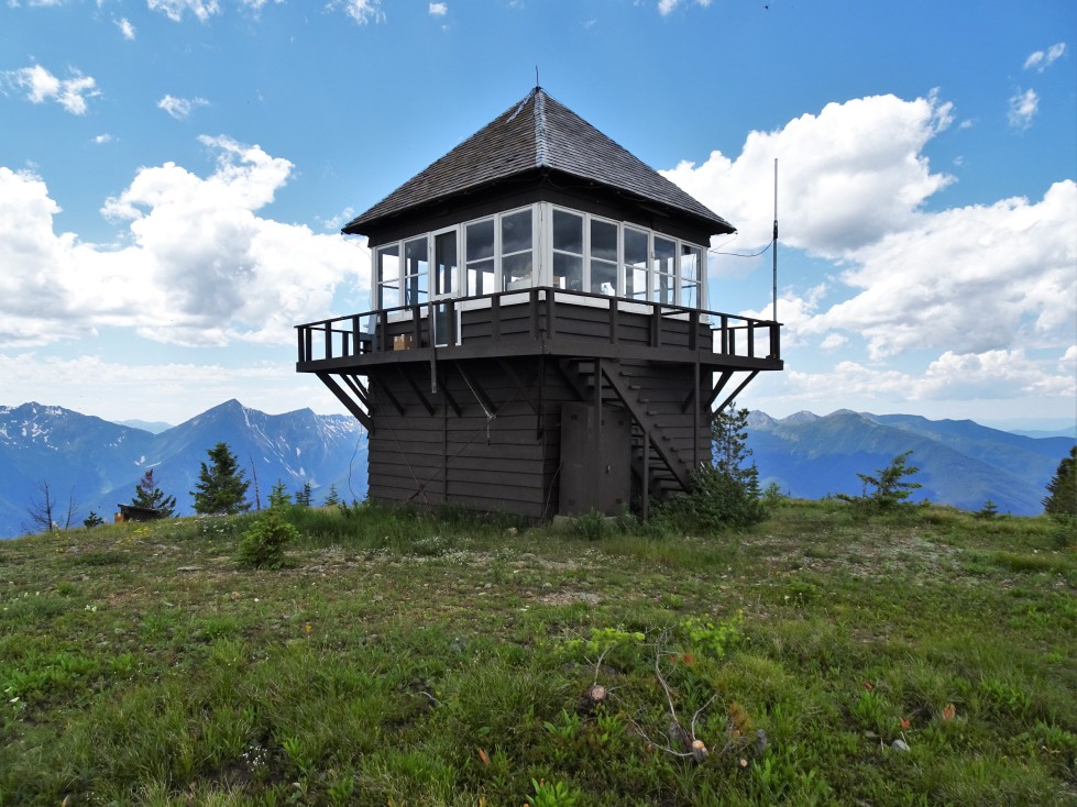
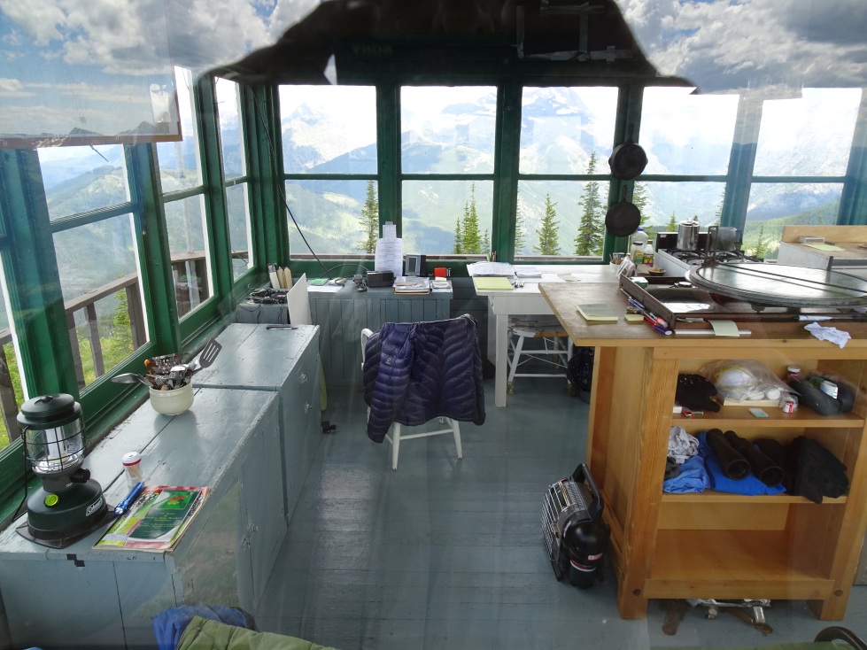
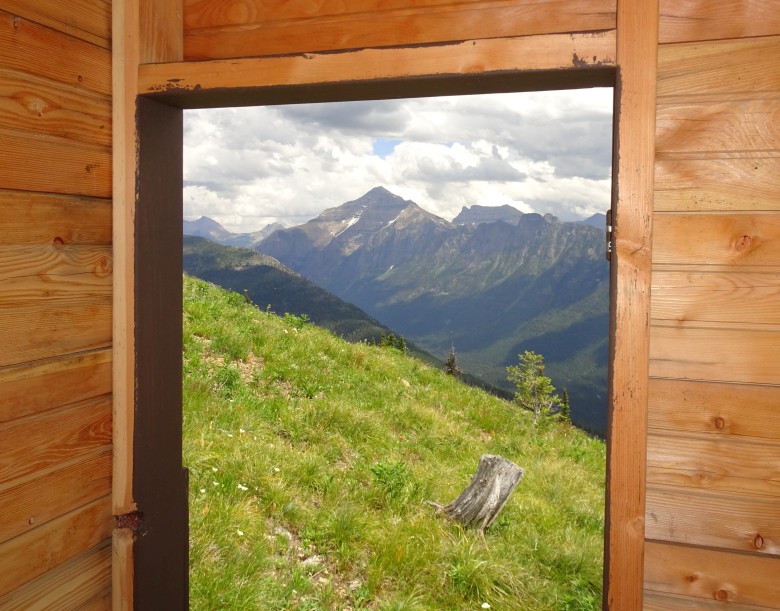
The summit is spacious and open with views in all directions. It is advisable to setup away from the lookout if it is manned so as to not disturb their operations.