(1.3 miles, 970 ft)
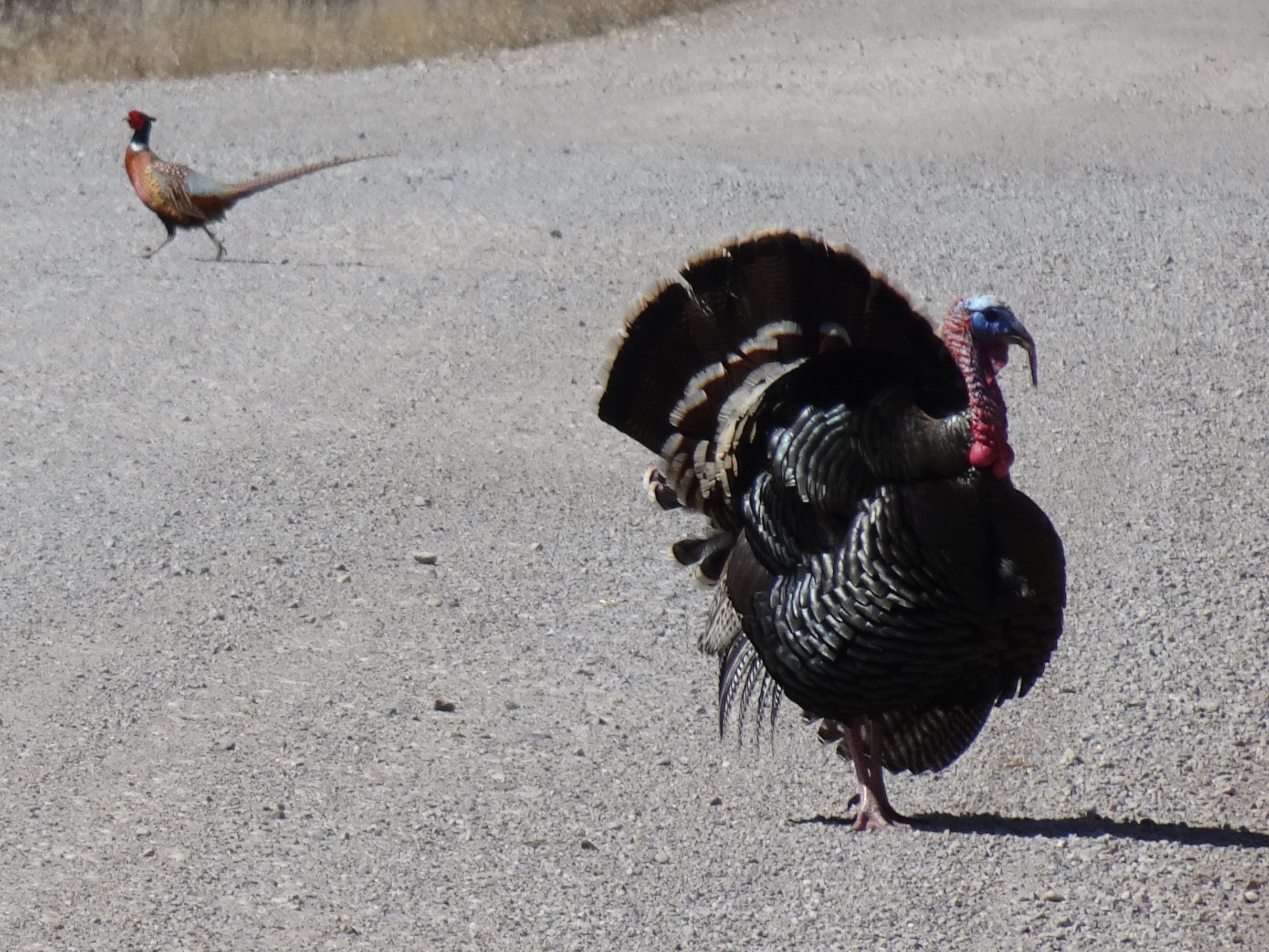
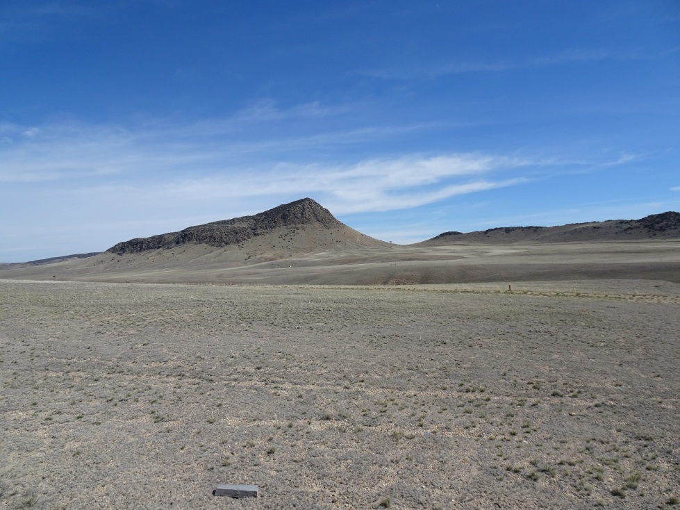
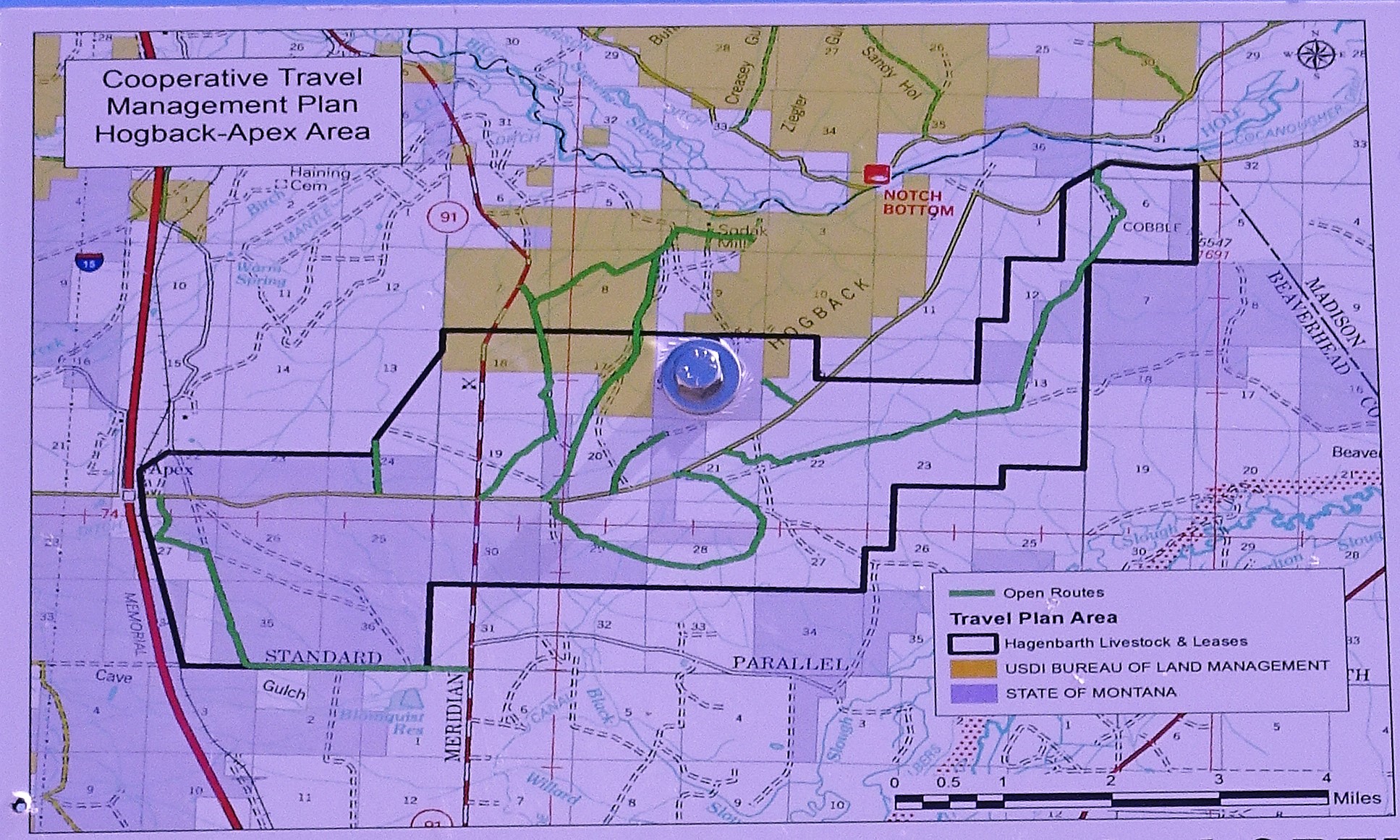
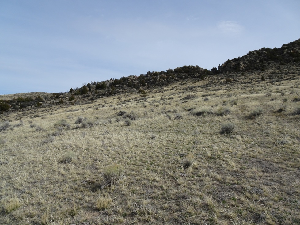
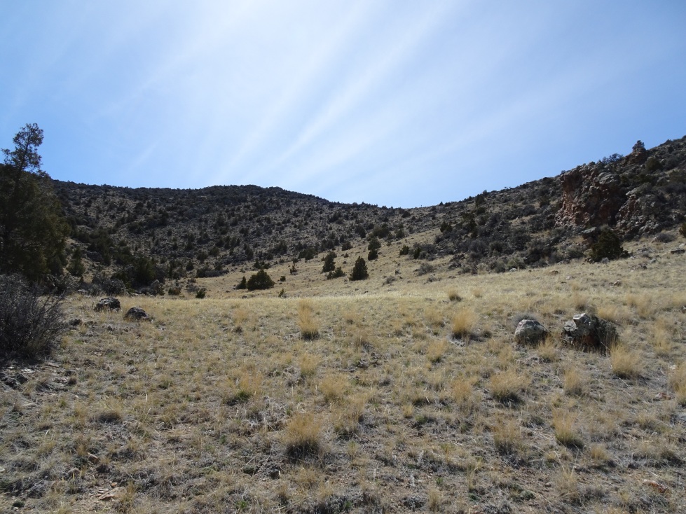
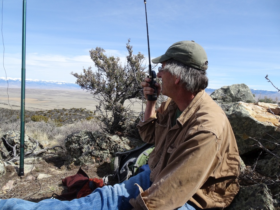
This is a nice early-season hike to the high point of the ridge between the Big Hole and Beaverhead Rivers just north of Dillon. Take Hwy 91 north from Dillon, and turn right (east) on Hogback Road. Drive 0.6 miles east, to the 2nd turn-off to the North. Take this road 2.25 miles NNW until it reaches a gate. Park here. It is not advisable to turn onto this final road if the conditions are wet, as it is likely to be very muddy & slick. Begin hiking up the old (non-motorized) 2-track to the east & SE as it ascends the hill. The 2-track will crest out and fade away on the high west slope of the north ridge of W7M/BE-199. From the end of the road, follow the cow path directly east. The path will lead through the lower of two notches in the rocky ridge crest, to the open valley on the east side of the north ridge. Travel up the valley (south) through scattered Juniper and Mountain Mahogany (higher up) to the summit. We generally stayed high & to the right (west) as we ascended, but other paths are likely good also. The summit is centered in a broad valley, and offers very nice views of the surrounding mountain ranges. The Bitterroots, Pioneers, Ruby Range, Tobacco Root, and Highland Mountains are all visible, as well as a small portion of the Madison Range & perhaps more. The country looked fairly “snakey”, so keep your eyes open.
It is likely possible to climb this mountain from other directions also. Note that only the first portion of the rather nice road to the microwave facility is marked “public”.
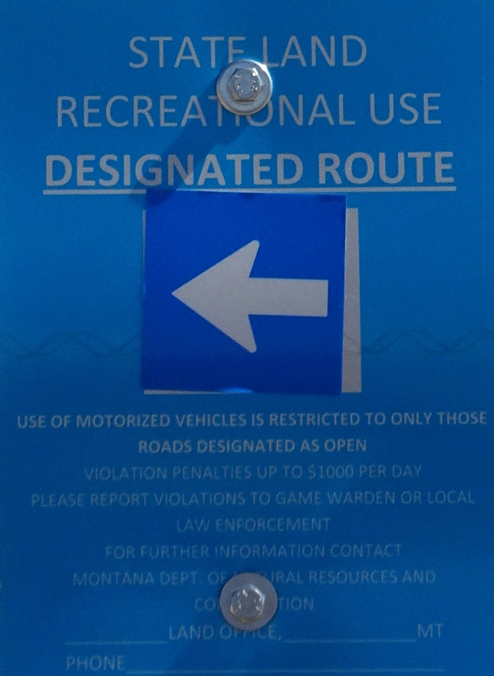
Note that this summit is located on State School Trust Land & as such it is necessary to purchase a State Lands Recreational User Permit ($10 in 2017). The permits are available from FWP on-line, or from FWP offices. The area was well signed in 2017.