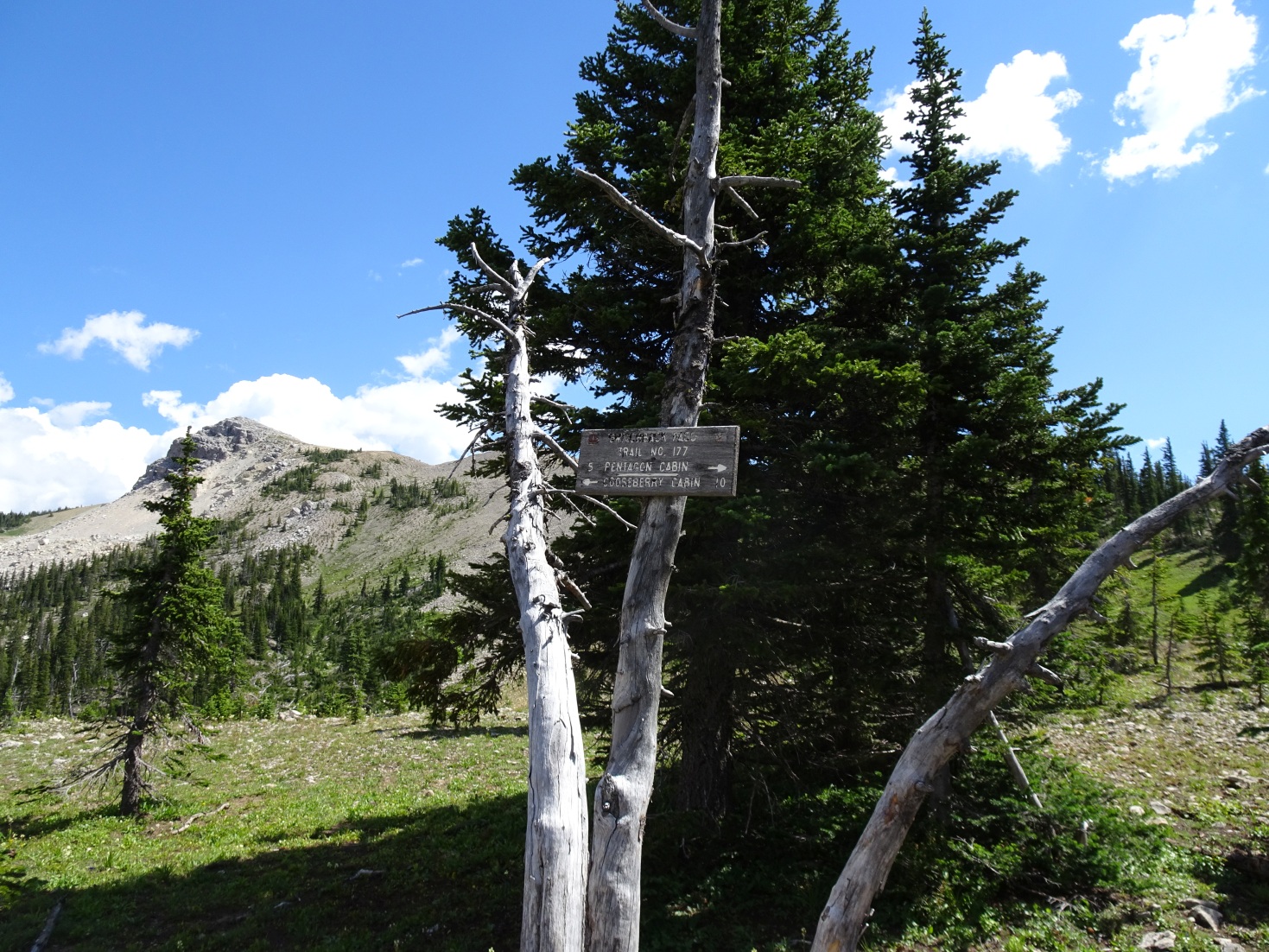
1.7 miles, +1,260 ft, -160 ft (From Lake Levale); 18.8 mile approach from Silvertip TH
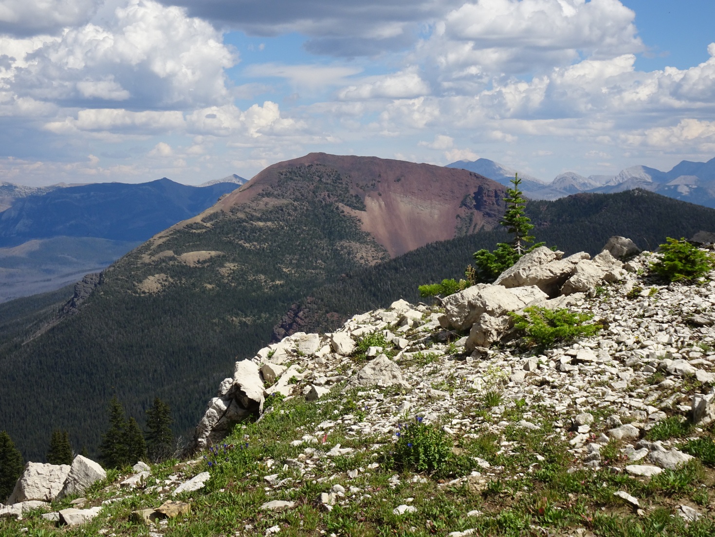
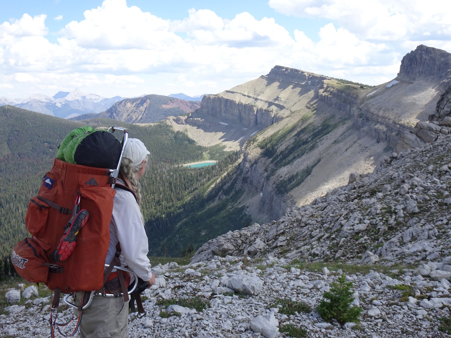
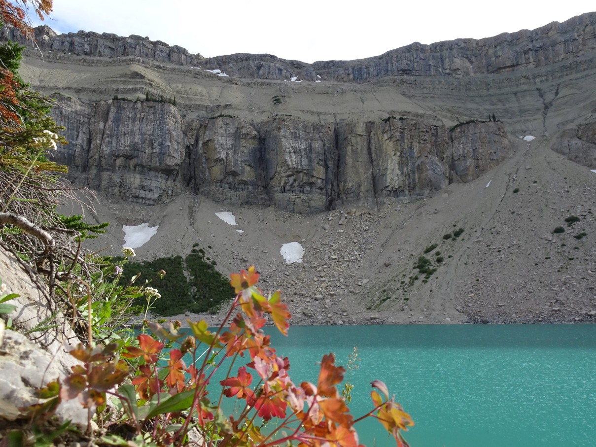
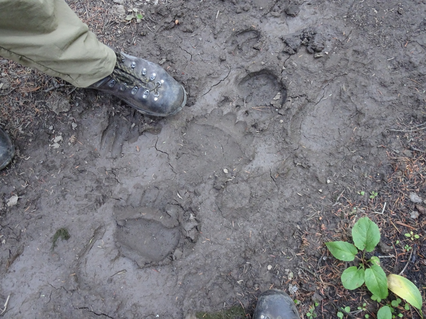
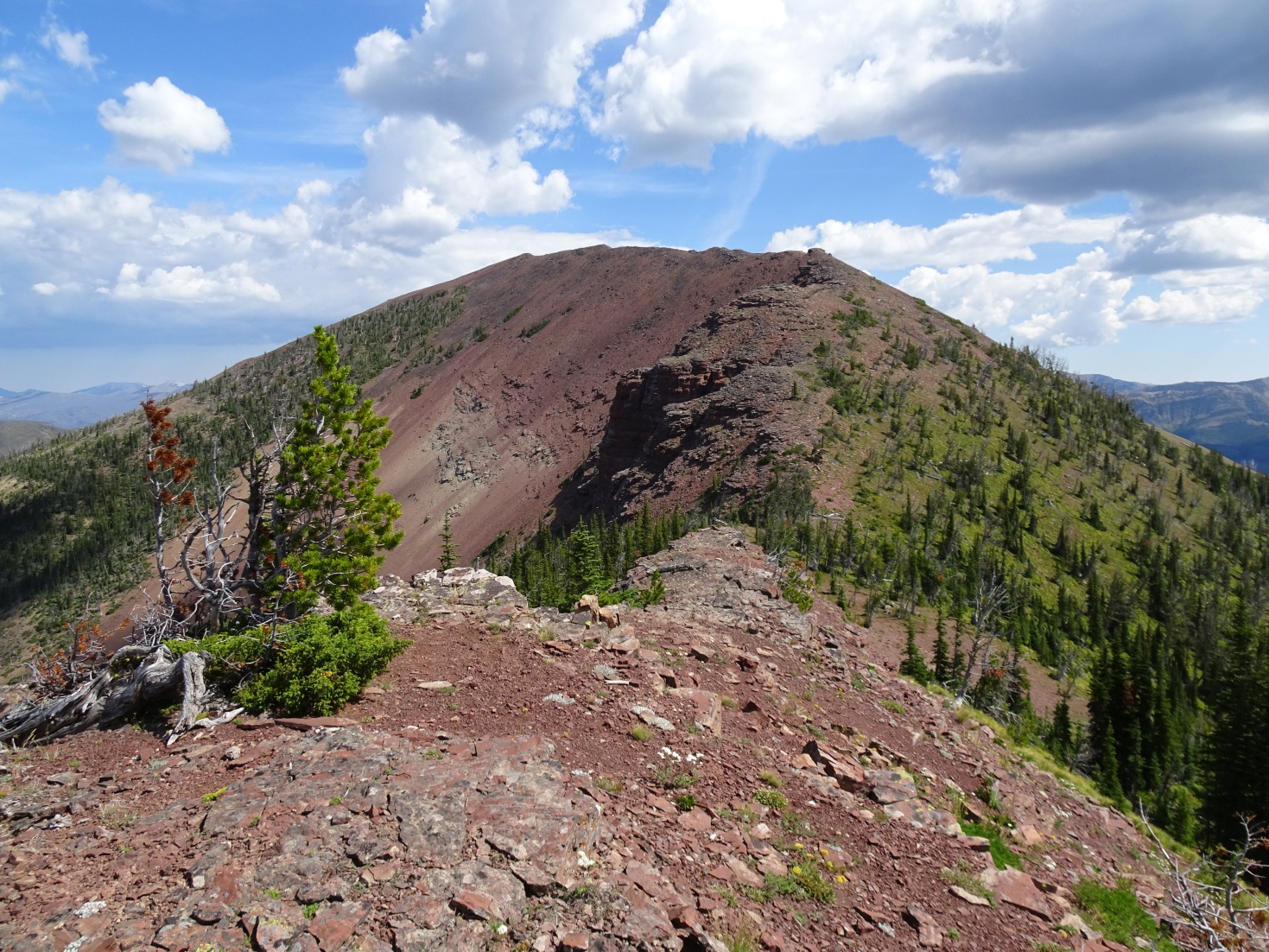
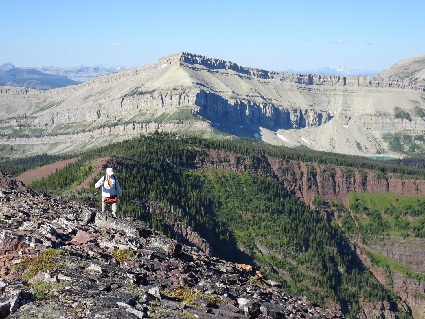
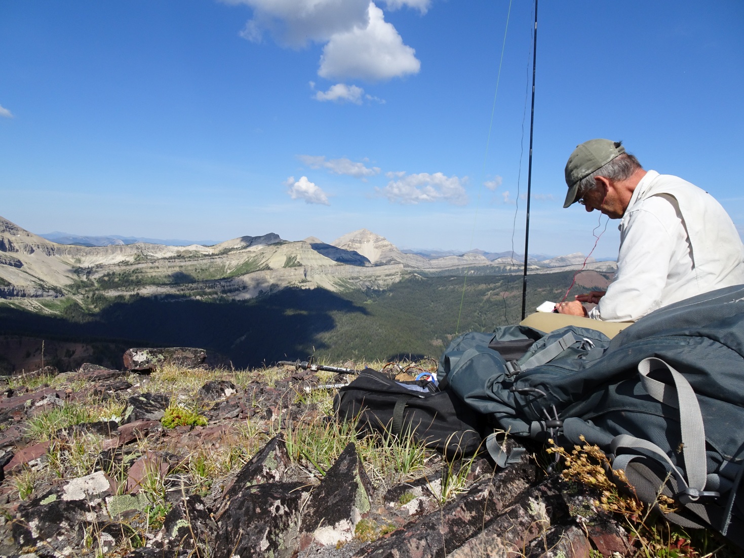
Signal Mountain is a red promontory that rises to the east of the North Wall and overlooks the North Fork of the Sun Valley in the Bob Marshall Wilderness. Hike from the Silvertip TH to the Pentagon Guard Station then up Switchback Pass and down to Lake Levale. There is good camping at Pentagon and at Lake Levale. From Lake Levale, ascend the main trail south until it crests out. At the crest, ascend to the east and work around the either the north or south side of the false summit. Continue following the ridge to the summit of Signal Mountain. The hike includes great views of the North Fork of the Sun Valley, as well as the North Wall and the Trilobite Range. The summit ridge includes outcrops of bright red rocks with ripple marks. Signal Mountain is the northernmost summit in the CL SOTA region.