(1.2 miles, + 1,100 feet)
From I-15: Take Exit-99 (Moose Creek) & head east up the Moose Creek Road towards the Humbug Spires Wilderness Study Area. Drive 2.9 miles up the Moose Creek Road (gravel) & park on the left side of the road near the fenced culvert that conveys flow for the drainage to the north under the road.
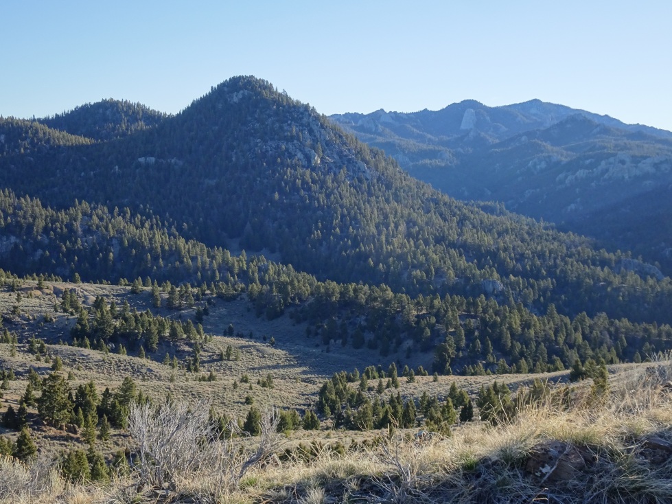
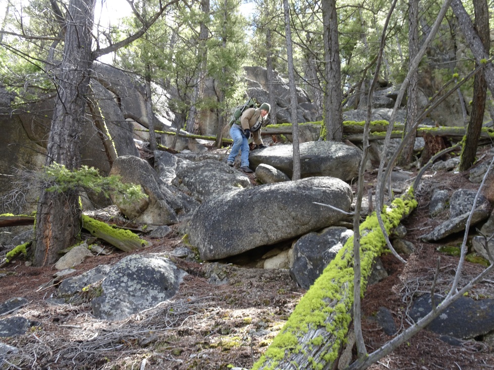
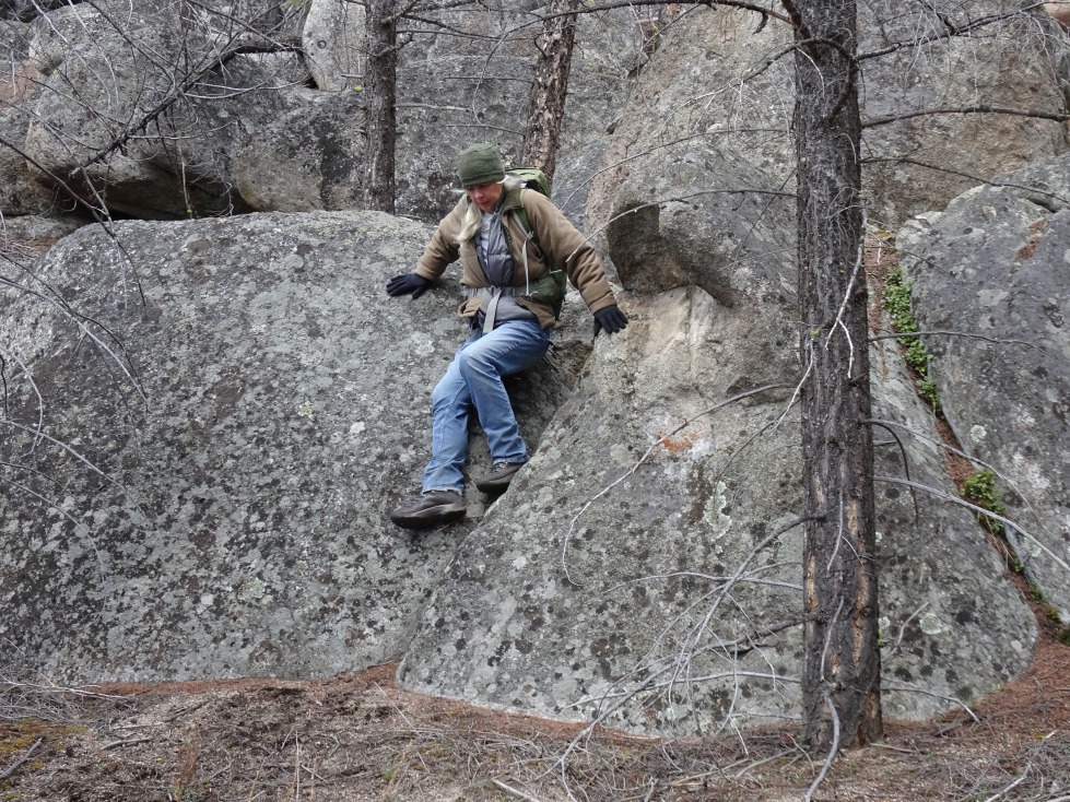
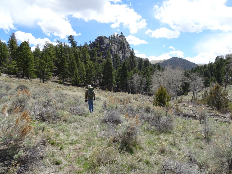
From the parking area, walk about 100-yards up (east) the gravel road and then follow the obvious path that heads up (north) the drainage between W7M/BR-155 & W7M/BR-150. Follow the path up the drainage & then turn right (east) & climb off trail up the right (south) side of the gully that bounds the north side of W7M/BR-150. Leave the gully when you near its head & climb directly up to the summit. The climb is steep in spots & you must navigate around several boulders, but there are no particular difficulties. The summit has nice views of the Humbug area, as well as the surrounding mountains & valleys. It seemed possible to become rimrocked on the descent – but we always found an easy path around each obstacle.
This summit combines nicely with W7M/BR-155.