(0.2 miles, + 155 feet)
This summit is on USFS land & is covered by the Beaverhead-Deerlodge-Central map. The area is open to motorized vehicles on designated routes Dec.3 – Oct. 14.
The trailhead may be approached either from the north (Moose Creek / Maiden Rock I-15 exit), or the south (Melrose I-15 exit). The northern road has two stream crossings that could be problematic during high runoff. The road from the Melrose exit (Trapper Creek Road) is better.
I drove in from the North, and drove out using the (reversed) route description below:
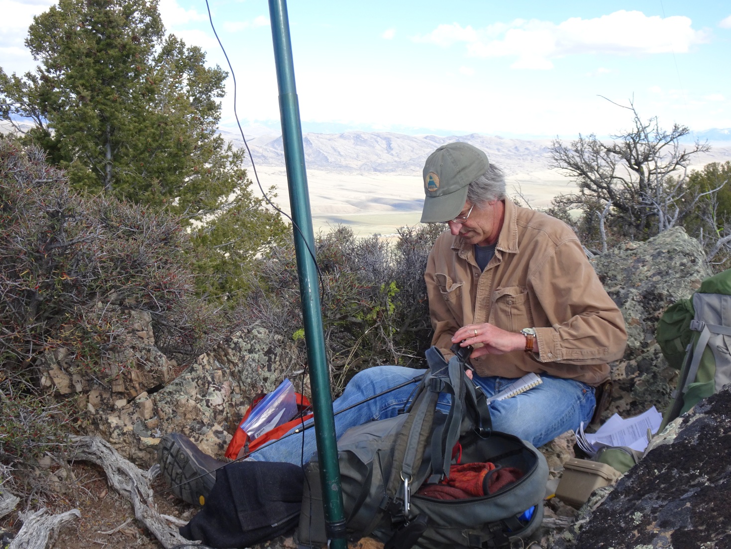
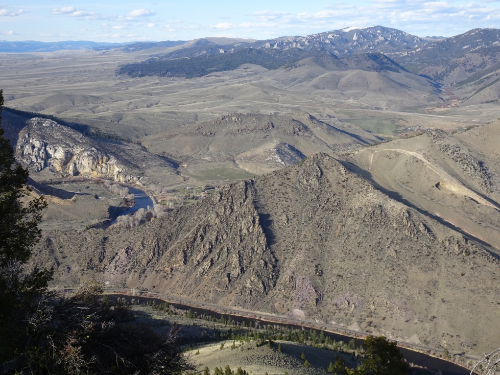
From I-15: Take Exit-93 (Melrose) & head west up the Trapper Creek Road. Drive 3.4 miles & turn right on the 2-track. Follow the 2-track north past the impromptu shooting range & continue north about 0.9 miles to a fork. Turn right & continue onwards. The road will cross a small irrigation ditch 2 or 3 times. Head up Dry Hollow Gulch (NNW-ish). Watch for a turn to the right (NE) while you are in a gully. The right turn will ascend the gully side to the NE. Follow this track as it heads towards the Shepard Mountain area – keeping to the left & following the drainage. The track will enter the timber & turn sharply left. Park somewhere in this area & hike up to the summit. The true summit is atop a cliffy pile of rocks that is north of a broad meadow. There is a nice route through the rocks on the east side. The summit has very nice views down to the Big Hole River, Maiden Rock Bridge & surrounding areas.
Note that the roads are 4wd, but not particularly rough or difficult. A map is advisable.
Be sure to also activate W7M/BE-192. You can return to Dry Hollow Gulch & continue to it’s trailhead easily.