4wd + Short Hike (0.9 Miles, +631 ft., -215 ft.)
Directions:
Exit east from Exit 85 on I-15
Drive 4.3 miles south on Hwy-91
Turn left on Burma Road – Continue 3.1 miles
Turn left on 2-track at Chokecherry Gulch (by gravel pit)
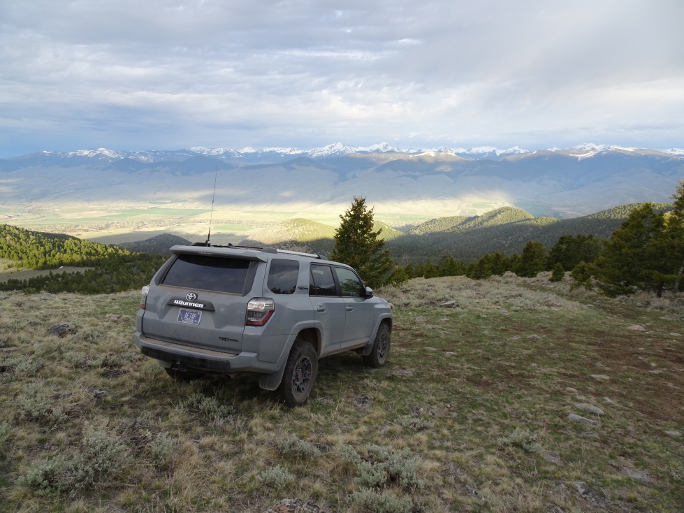
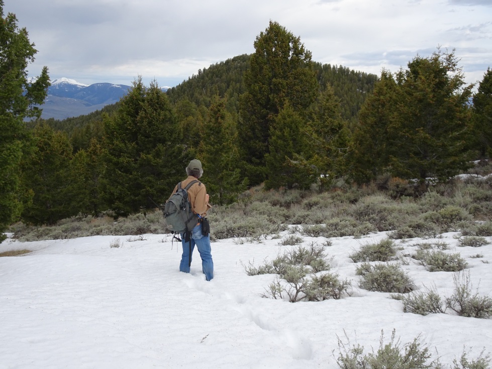
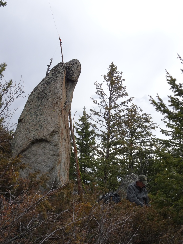
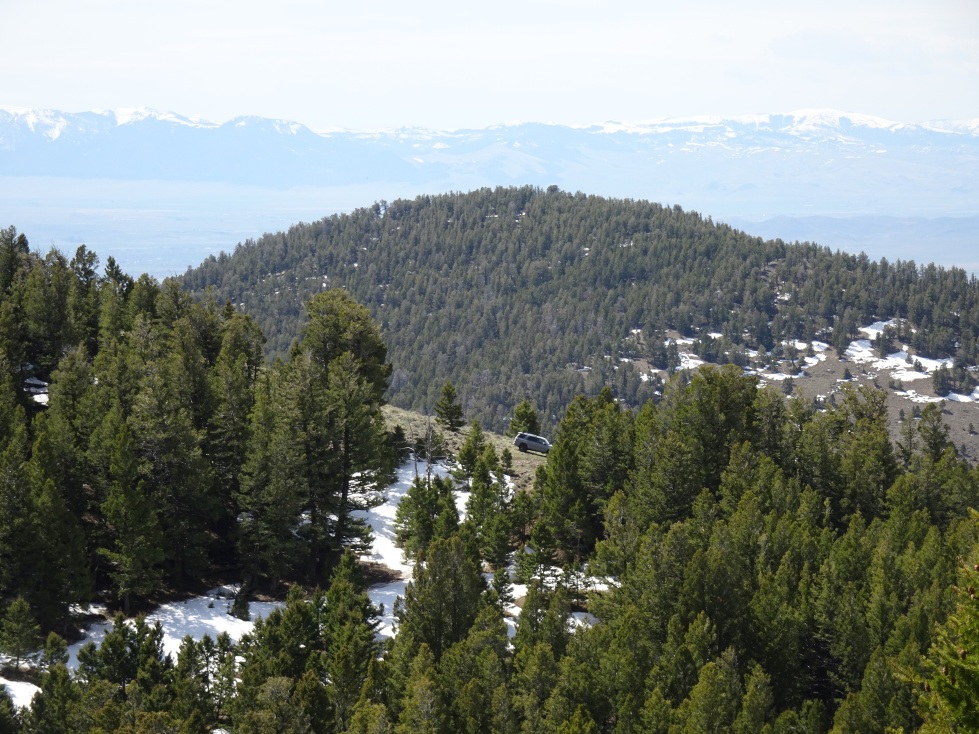
Follow the 2-track up the gulch staying on the main trail. The trail is narrow & ingrown in spots – trees will lightly buff the sides of a full-size vehicle. It also has some narrow spots to be aware of. 4wd is advisable. 4wd is very much necessary for the final grind up the steep hill to the parking area, but the views are tremendous. We parked at the top of the steep hill due to snow, but later in the spring it should be possible to continue another ¼-mile or so. The hike is straight-forward – follow the ridge to the summit. We generally stayed on the left (west) side of the ridge until we reached the final saddle, after which we approached the summit area from the southeast side & circled to the south for the last few hundred feet. There is an interesting old survey platform on the summit rocks. The views from the summit are limited due to trees.
This is a good early season summit that combines well with Bell Peak (W7M/BR-127).