5.8 miles, 3,200 ft
Beartooth WMA – Open May 15 - December 2
Directions (From Wolf Creek – North of Helena):
· Drive north & west – cross bridge over Missouri River
· Turn right (south) – drive up river to Holter Dam, then continue south along Holter Lake.
· Continue on to the Beartooth WMA (Wildlife Management Area)
· Continue on to the Willow Creek Road
· Turn left (east) on the Willow Creek Road & drive to the parking area at the end.
The parking area is also a designated camping area. Note that camping is not allowed outside of designated areas in the WMA.
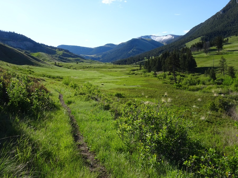
· Cross the bridge & walk up (east) the Elkhorn Creek trail 3.3 miles to Camp Creek.
· Cross Elkhorn Creek & walk up (south) Camp Gulch. There is a marginal trail to follow.
· Continue up Camp Gulch to a meadow with very large Cottonwood trees – turn left (east) & climb over the ridge to the next gulch, where there is a decent trail that will head southeast up towards Moors Mountain.
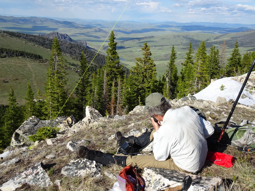
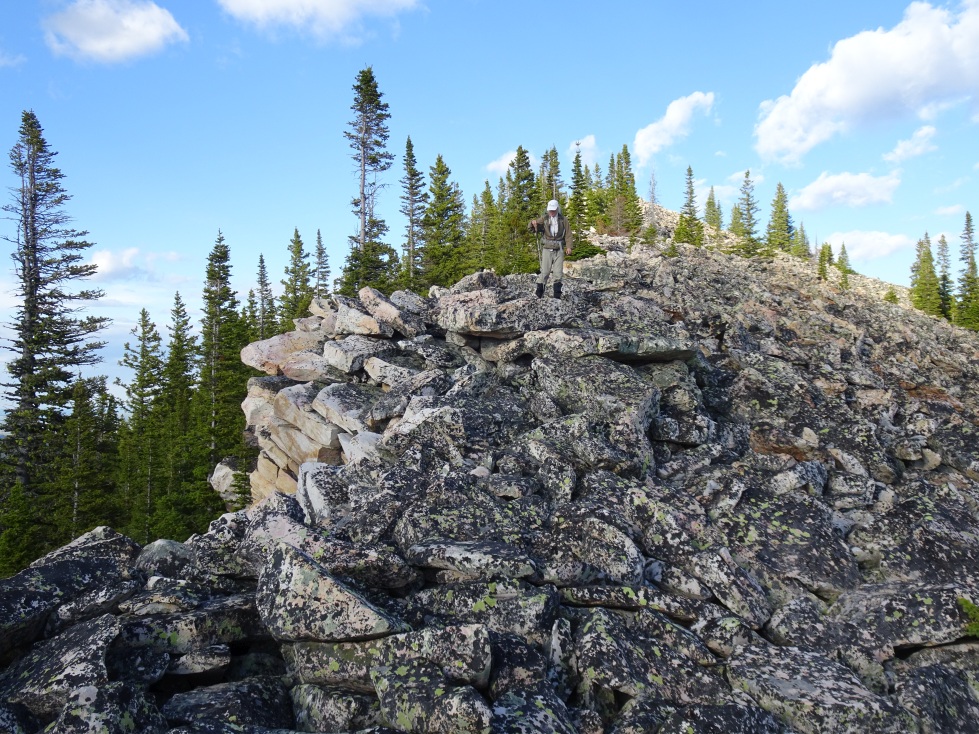
· Climb the Moors Mountain trail until it is convenient to sidehill up to the saddle below W7M/CL-075. Follow the mostly rocky ridge to the summit.
If your energy level is high – continue on to Shellrock Ridge (W7M/NF-016) & loop back to the trailhead.