4.3 mi, +2,100 feet
This is a good earlier season hike that offers spectacular views and some isolation after leaving the main Sun River Trail.
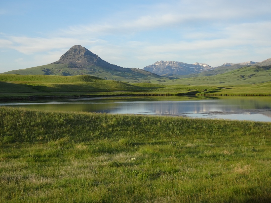
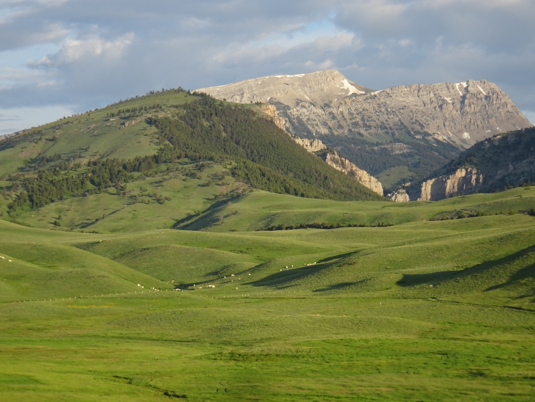
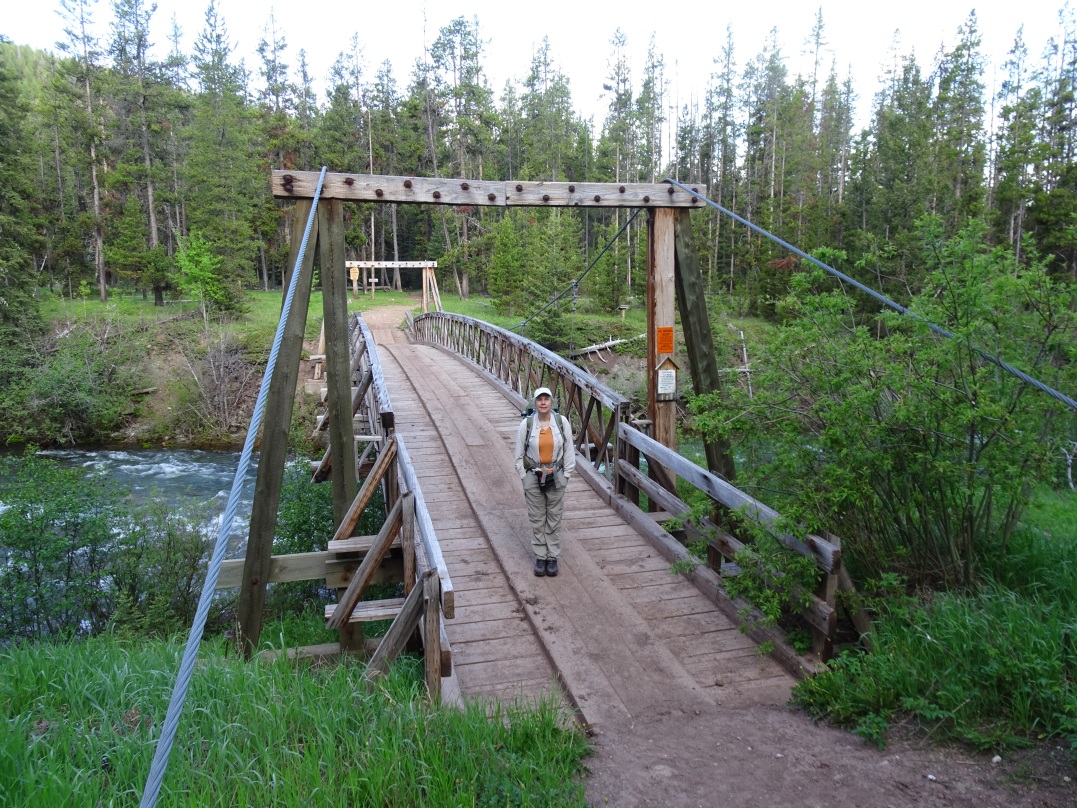
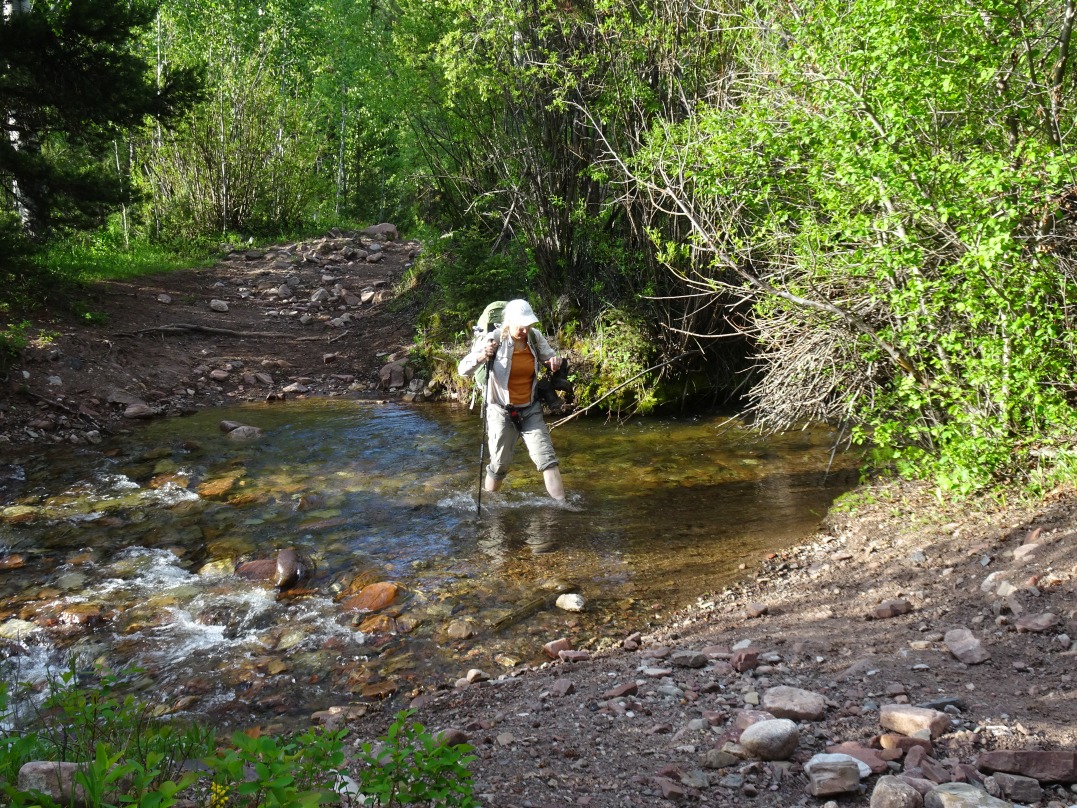
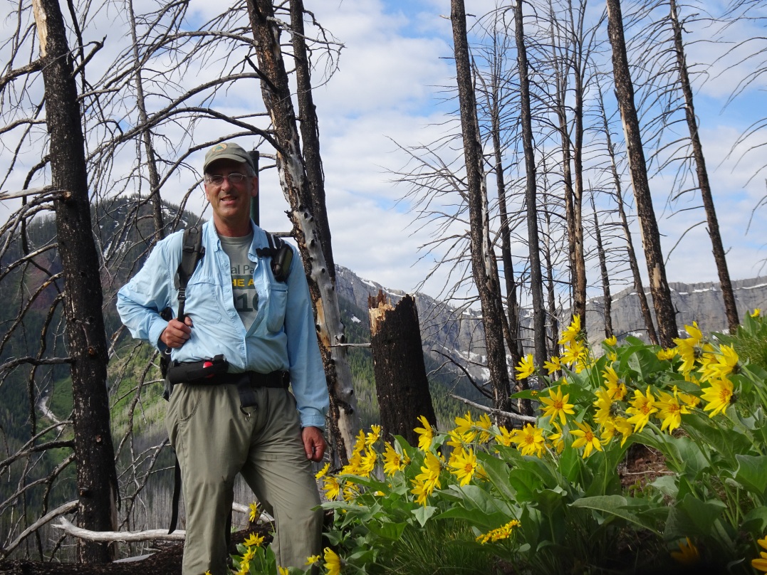
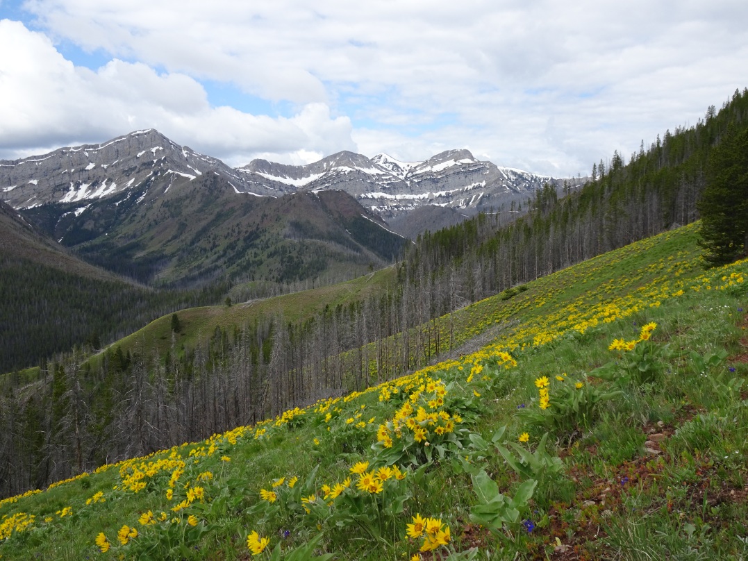
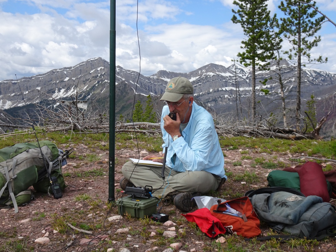
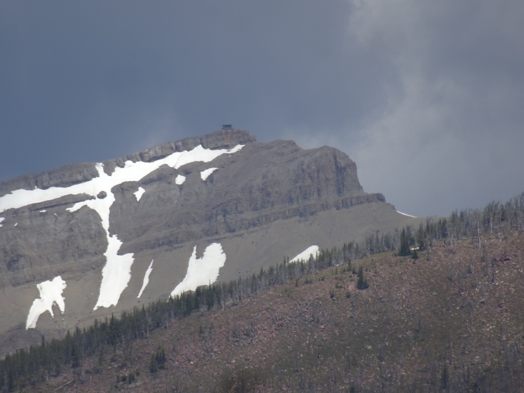
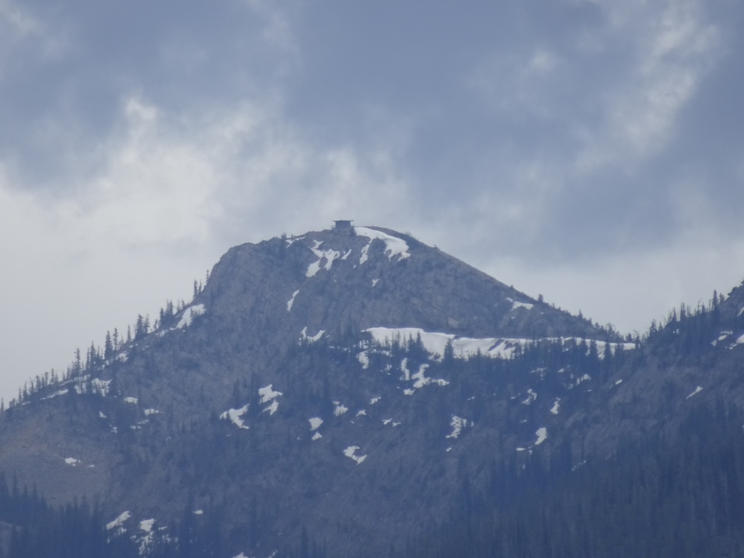
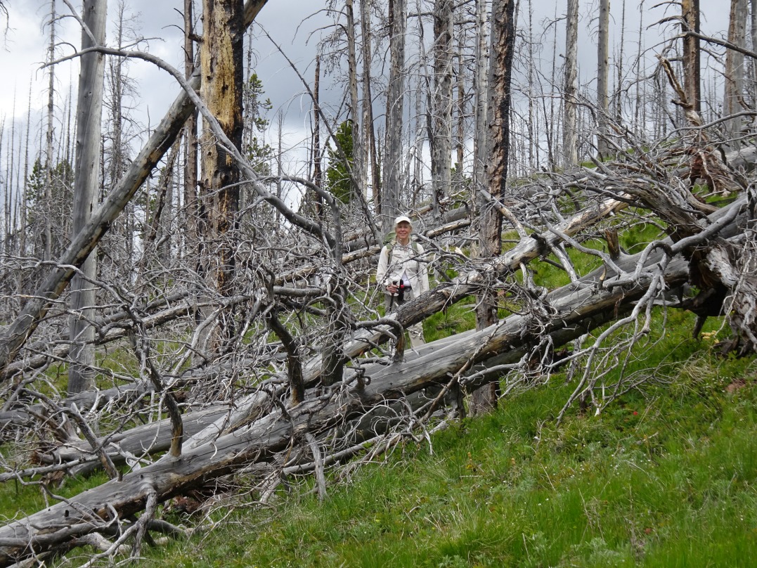
From the town of Augusta, drive 31 miles westerly past Nilan Reservoir to the Benchmark Trailhead. The driving route is well signed, and the gravel road is suitable for nearly all vehicles. The Benchmark trailhead is one of the primary entry points into the Bob Marshall Wilderness area and is heavily used by both backpackers and stock. Head north 1.7 miles from the trailhead on the main trail, across the packbridge, and look for the Deadman’s Hill trail (USFS Tr. 276) on your left immediately after crossing Deer Creek. While it is often possible to hop across Deer Creek, it would be wise to be prepared to take your boots off for a shallow crossing – especially early in the season. The Deadman Hill trail heads up to the left (west) immediately after crossing Deer Creek and isn’t shown on all maps, but it is depicted on both the USFS Bob Marshall Wilderness map, and the excellent Caird Cartographics map of the Bob Marshall Wilderness Complex (South Half). The Deadman Hill trail is well defined, but very lightly used outside of hunting season, so expect some deadfall. The trail climbs at a nice grade through the 2007 Ahorn burn and offers good views of the surrounding terrain for much of the climb. The summit includes some remnants of the fire lookout camp that used to occupy this summit until the 1950’s. Both the Prairie Reef (W7M/CL-007) and Patrol Mountain (W7M/CL-059) lookouts (which are still used) are visible from the summit. Note that this is Grizzly country – so it is prudent to carry Bear Spray.