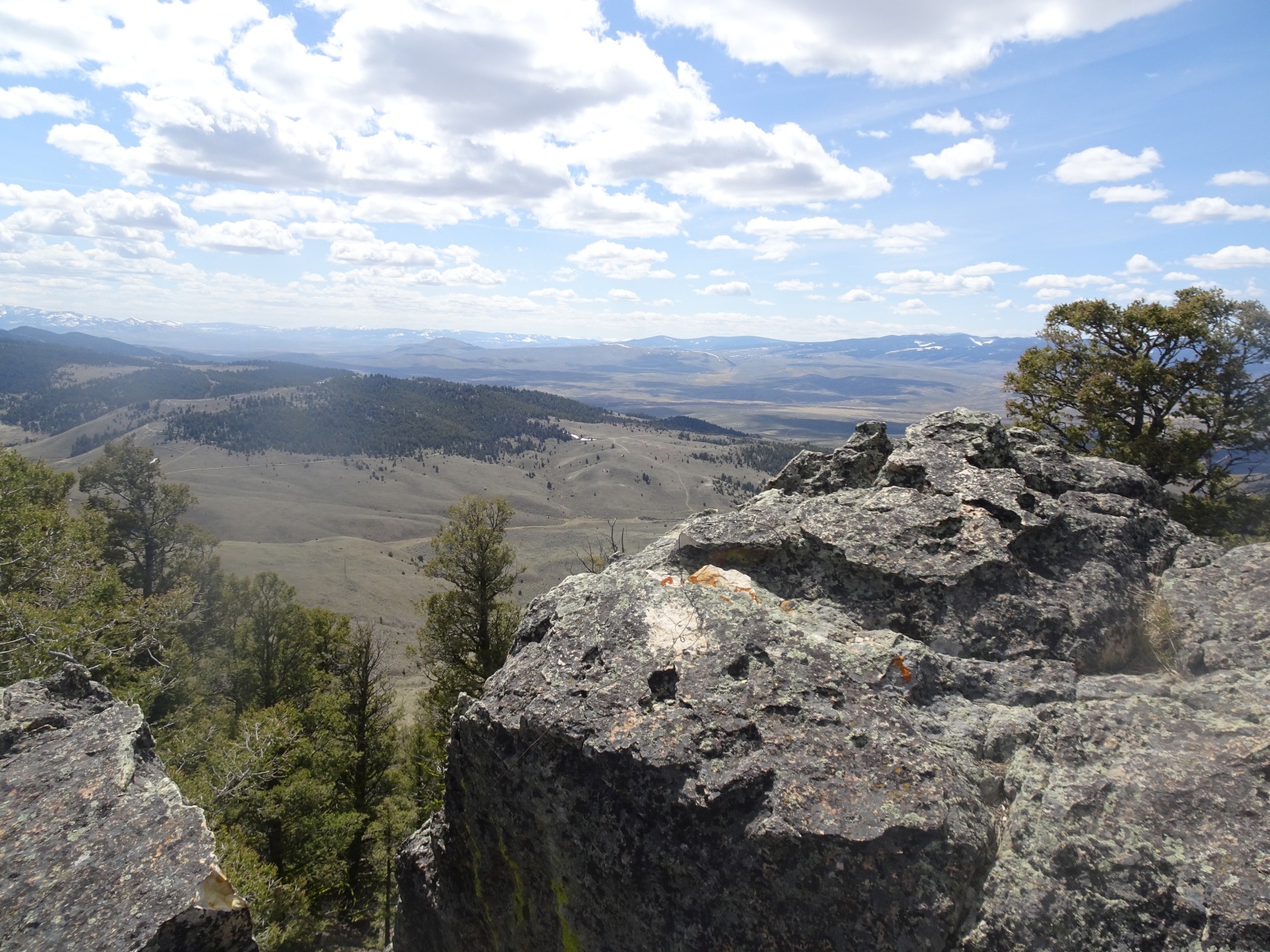
Summit
Trail Characteristics
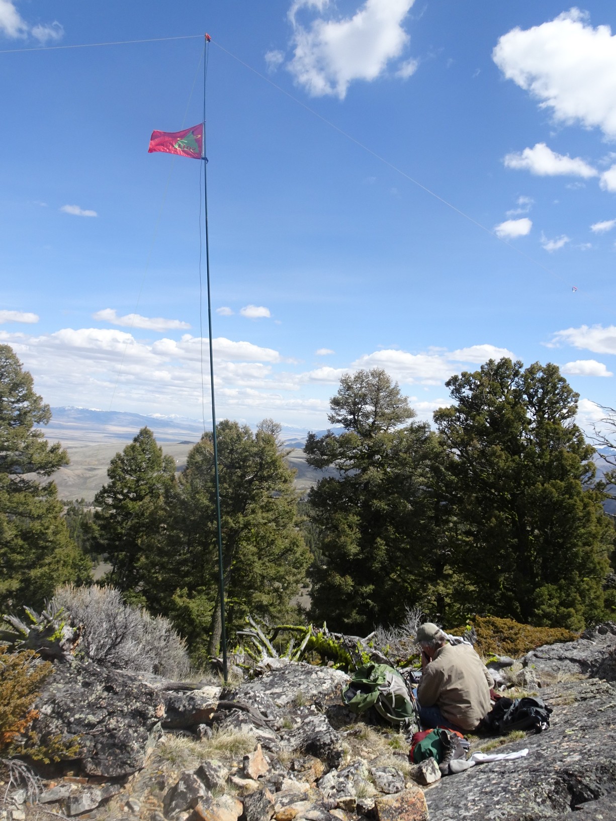
APRS Coverage
Full two-way messaging
Cellular Provider
N/A
Voice Cellular Coverage
Don't know
Data Cellular Coverage
Don't know
0.3 miles, +290 feet
From I-15 (Exit 59 to Bannock) south of Dillon, drive west 13.3 miles on Hwy 278 and turn left (south) onto a good USFS gravel road just before the Badger Pass summit. Follow this road 1.4 miles south and continue straight (left) at the “Y”. Continue another 0.4 miles, turn right and drive 0.1 miles and park in the low saddle. Note that the summit is not the north summit with the electronic site (and amateur radio repeater) – but the southern summit that does not have a road. The hike is an easy bushwack with some rocks and deadfall that is best accomplished by trending up the wooded glen on the left (east) side of the ridge crest.
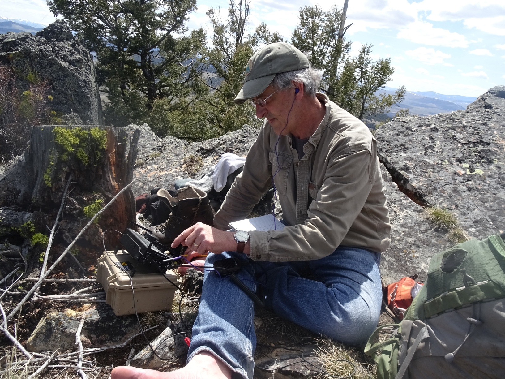
Pictures