1.3 mi, +680 feet
This is a good early season summit and is also suitable for bicycle access.
There is a good road that goes to this summit, but it is not identified as a designated route on the Beaverhead-Deerlodge (South) map that covers this area. There are, however, two designated routes that approach the summit. The roads on the east side are on BLM land and are closed to motorized use from Dec 2 – May 15. We accessed the summit from the north and west side on State Lands. Note that it is necessary to purchase a Recreational DNRC State Lands Permit ($10 in 2020), and that this differs from the State Lands permit that is included with hunting and fishing licenses. The permit is available online or from FWP offices.
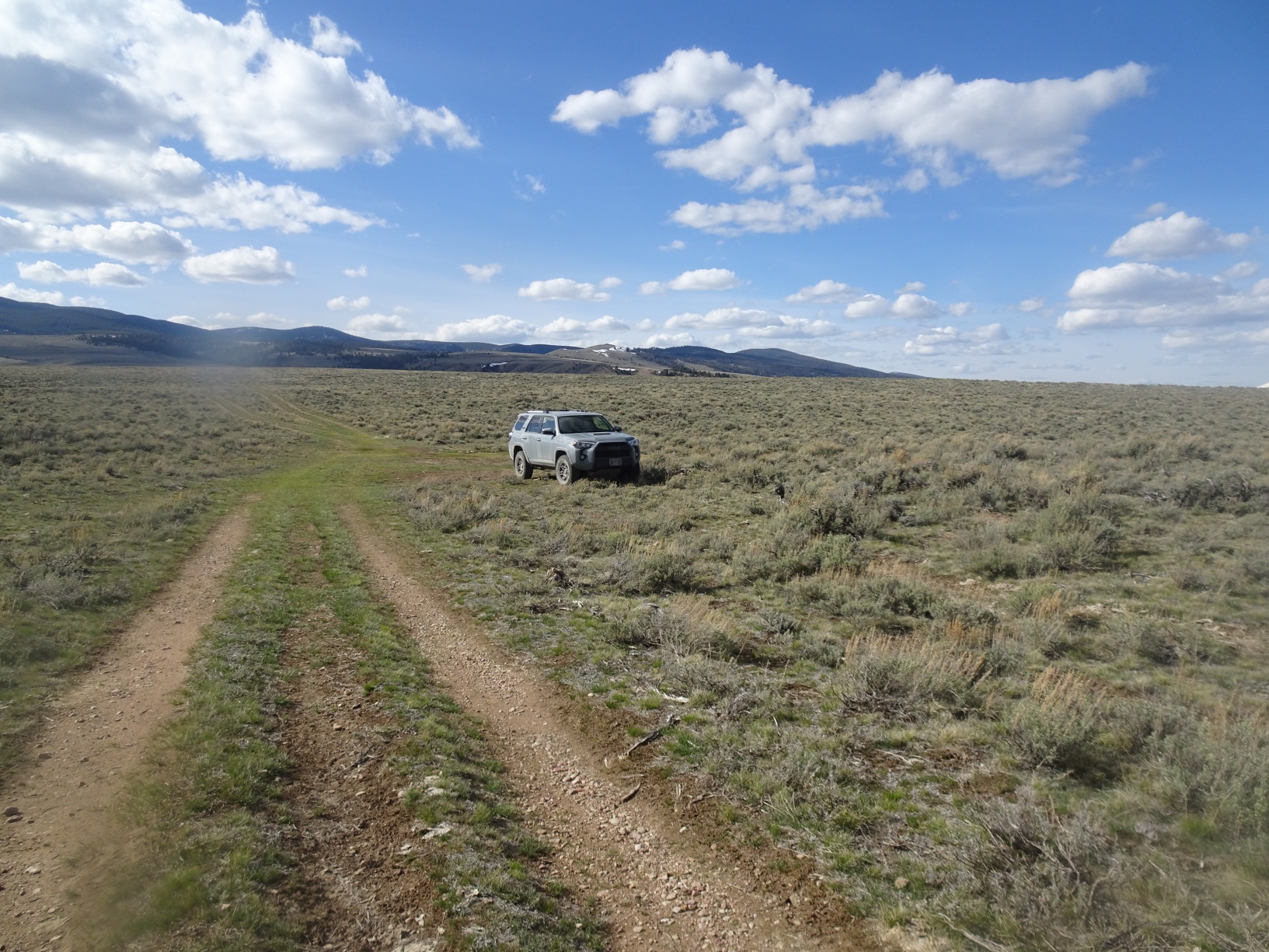
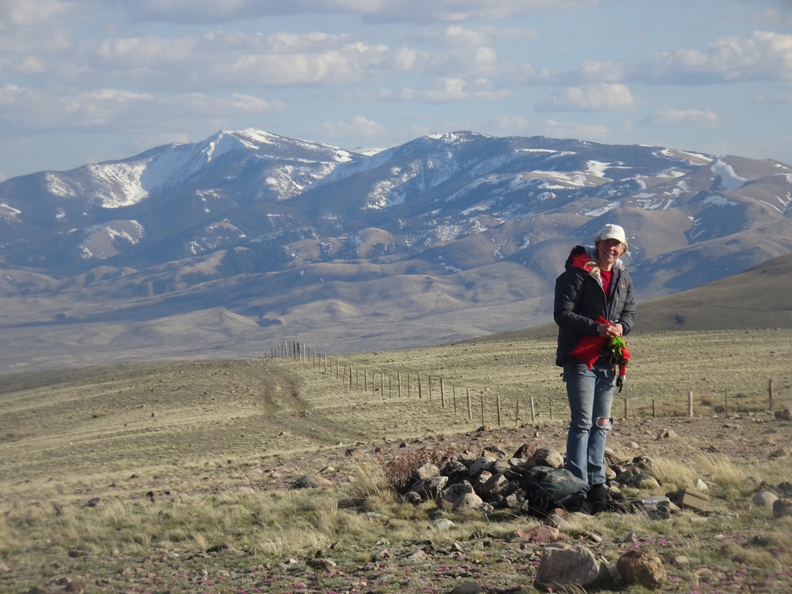
From the beginning of the Bannack-Grant road just north of Grasshopper Creek upstream from Bannack, drive 1.3 miles south on the Bannack-Grant road to the turnoff for Reservoir Creek. Drive 6.5 miles west up the Reservoir Creek road and turn left onto the 2-track. The 2-track crosses the creek and trends southwest approximately 1.6 miles to a flat intersection of roads at the base of W7M/BE-181. Park here, as the designated route does not include the obvious road that continues to the summit. Walk or bike up the road to the summit. The summit is completely barren but offers good views of the surrounding mountains.