0.3 mi, +515 feet
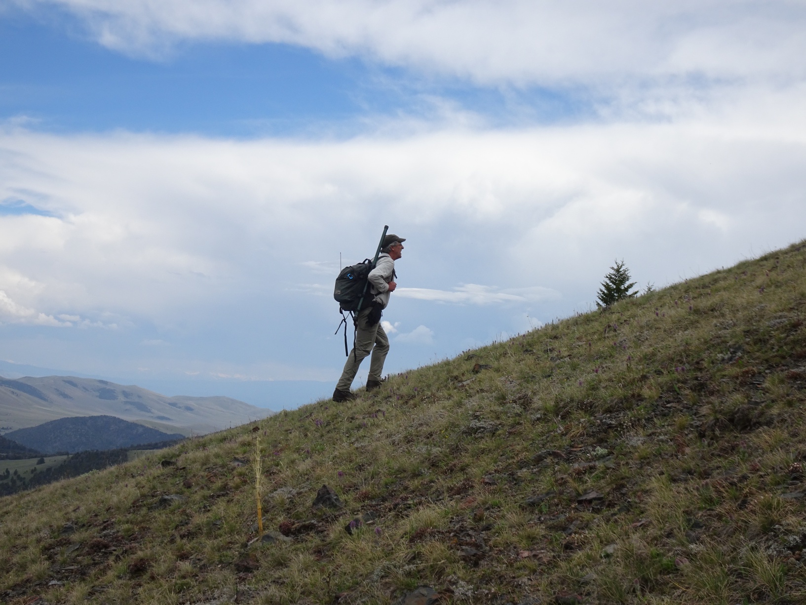
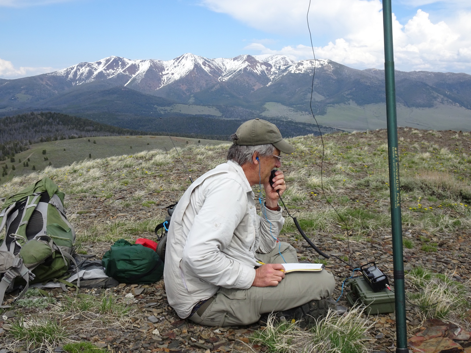
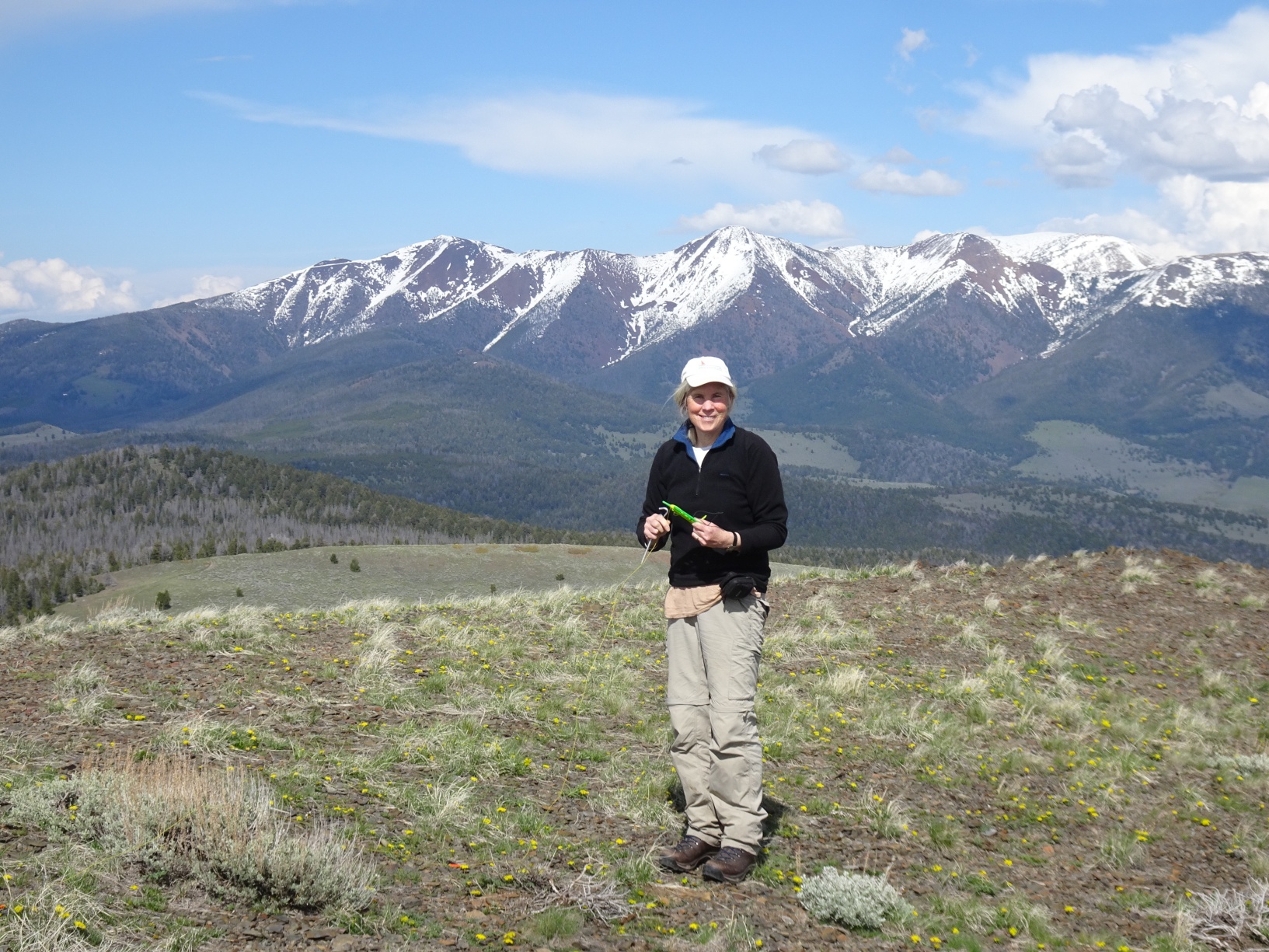
This is a quick and easy (steep) hike after a bit of routefinding on easy 4wd trails. The trailhead (45.7332N, 112.6047W) for this summit is a saddle at the northeast base of the summit cone that is accessible via easy 4wd trails, which are closed to motorized use from Oct. 15 – Dec. 2. We did not have any difficulties with access on June-1, but snowdrifts or muddy roads are likely to be problematic much earlier. We drove in from the south via the Moffet Mountain road (USFS 78065). The well-maintained gravel “Highland Road” (Route 84) that cuts east-west (from I-15 to Pipestone pass) is several miles north and provides reliable access to the general area. The Beaverhead-Deerlodge (Central) USFS map covers this region but does not include topography.