4.8 mi, +1,870 feet, -600 feet
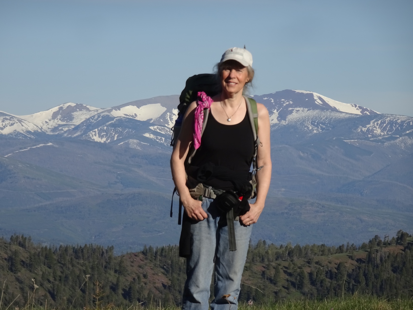
This is a nice hike on a good trail with great views – particularly of the Red Mountain & Caribou Mountain regions of the Scapegoat Wilderness. This hike is close enough to the Scapegoat Wilderness that it is prudent to be Bear-Aware.
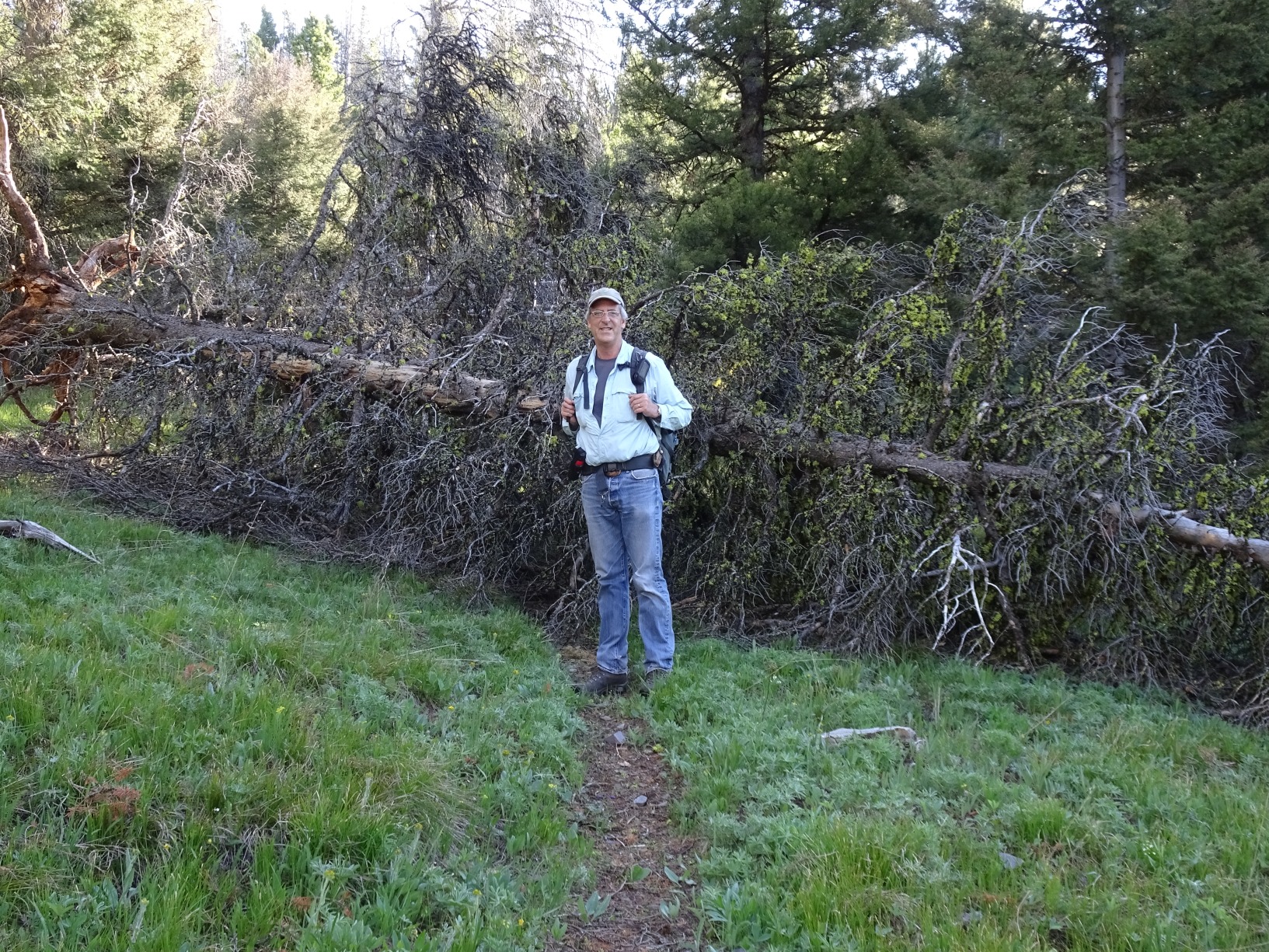
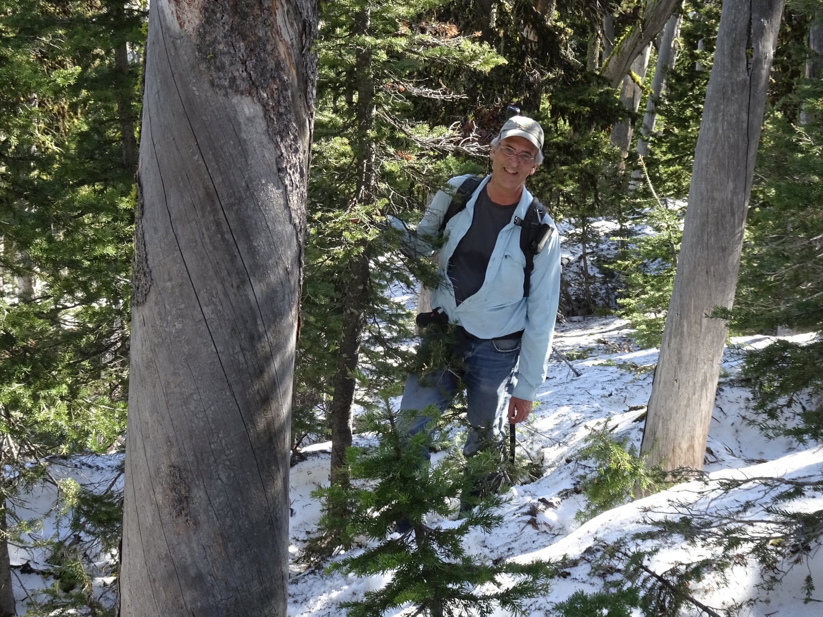
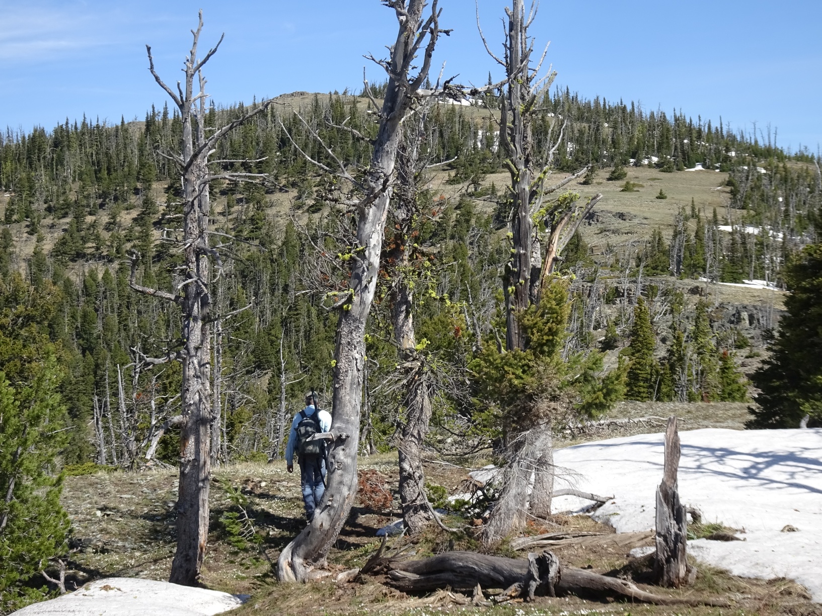
From the summit of Flesher Pass, take the Continental Divide Trail (CDT) east. Note that the trail has been rerouted to avoid some of the unnecessary climbs and no longer follows the ridge-top track as shown on the USGS topo map. The trail has one fork that may be confusing – it is located as one approaches the ridgeline high-point that is marked “7415” on the USGS map. Continue straight at this junction (as directed by the CDT signs) – do not double back on the old 2-track. The trail does not go directly over the summit as indicated on the map – it contours around the right (SE) side of the mountain. As such – leave the trail in this area and walk directly up to the summit.