5.1-miles, +1,705 ft, -963 ft; From Elk Mountain TH
I activated Bilk Mountain on Day-1 of a long backpacking trip.
It is a relatively long drive to the trailhead on good Forest Service Roads. Most vehicles should be able to make it with no troubles, but some clearance is helpful. This summit combines nicely with W7I/IC-172 (Green Mountain), which is a drive-up.
To reach the trailhead (beginning at the Red River Ranger Station on Hwy 222/57, drive 0.3 miles south, and turn left (east) on the “Magruder Corridor”/”Nez Perce Trail”/ FS-468. Continue 18.8 miles and turn left on the Green Mountain Road (FS-285). Follow this road another 17.4 miles north, past Windy Saddle, to the Elk Mountain Trailhead. There is good parking, a small stream, and a latrine at the Trailhead.
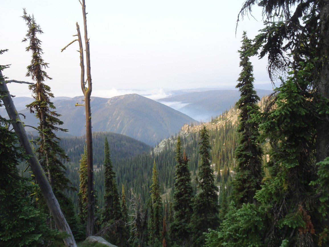
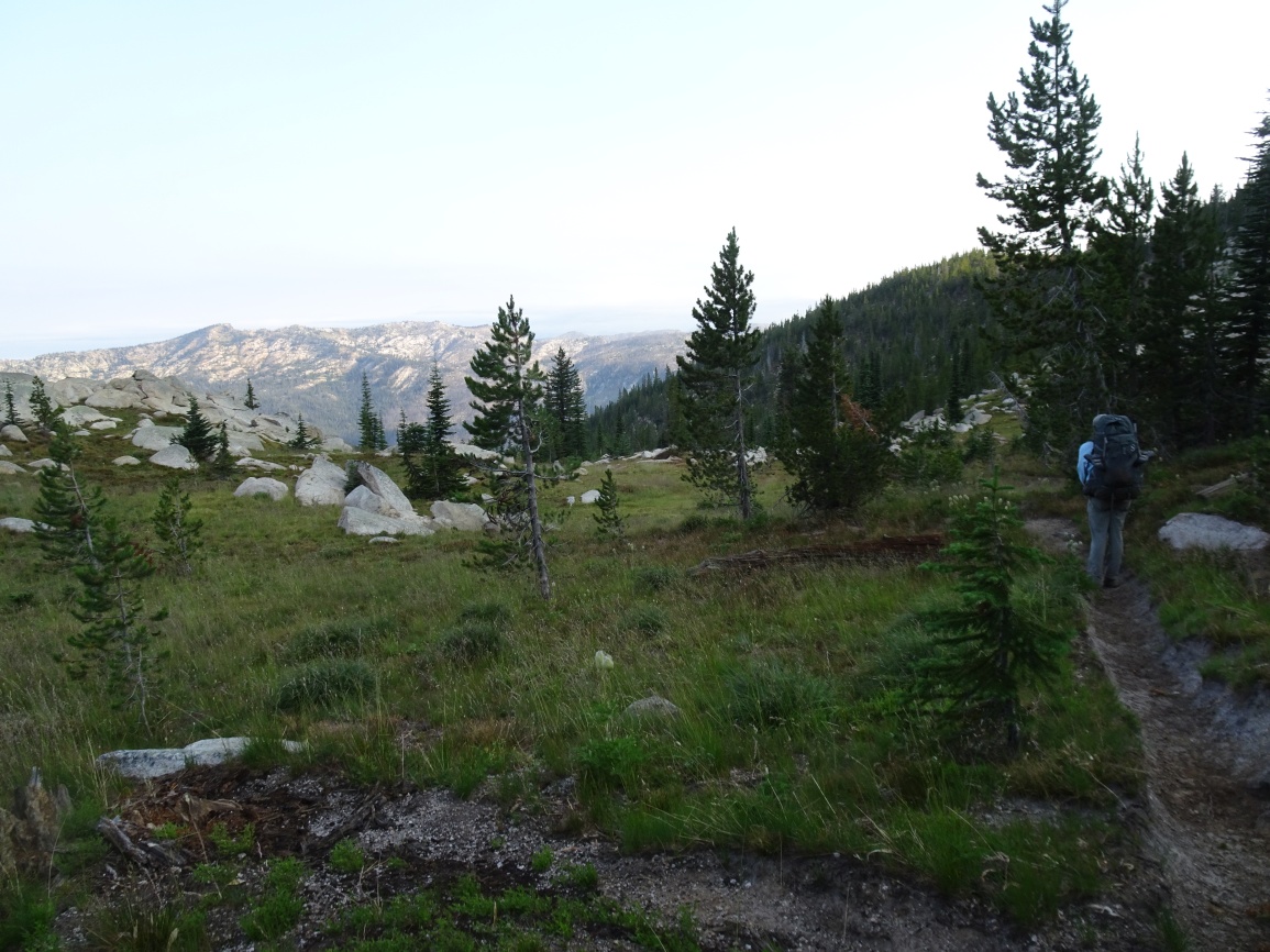
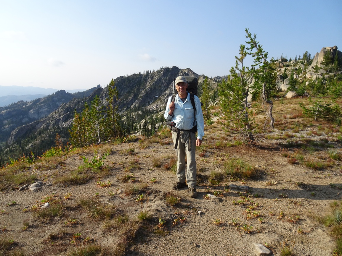
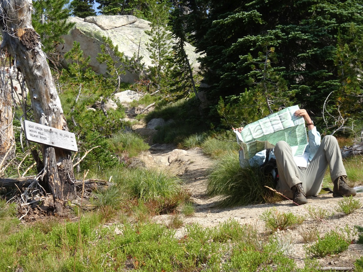
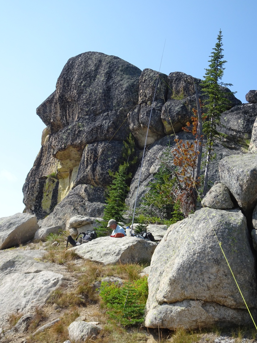
The trail is very well maintained and leaves from the east side of the parking lot. Follow the trail over the shoulder of Elk Mountain, then down its north ridge through a pretty meadow, and onwards as it descends towards Bilk Mountain. The trail switchbacks steeply down the east side of the ridge, then contours around the south slopes of the Bilk Ridge before climbing back up to a trail junction in the saddle on the southeast side of Bilk. Continuing straight will take you to good camping beside Goat Creek, a steep 400-feet below. Turning left at the trail junction will take you to Bilk Mountain. There are several false summits, so it is advisable to take care that you are within the activation zone. The true summit is a rock knob that I did not attempt to scale. I found a nice place to setup the antenna at the base of the rock knob - perhaps 20-feet below the true summit. We went on to camp at Grave meadow.