1.6-miles, +821 ft, -160 ft
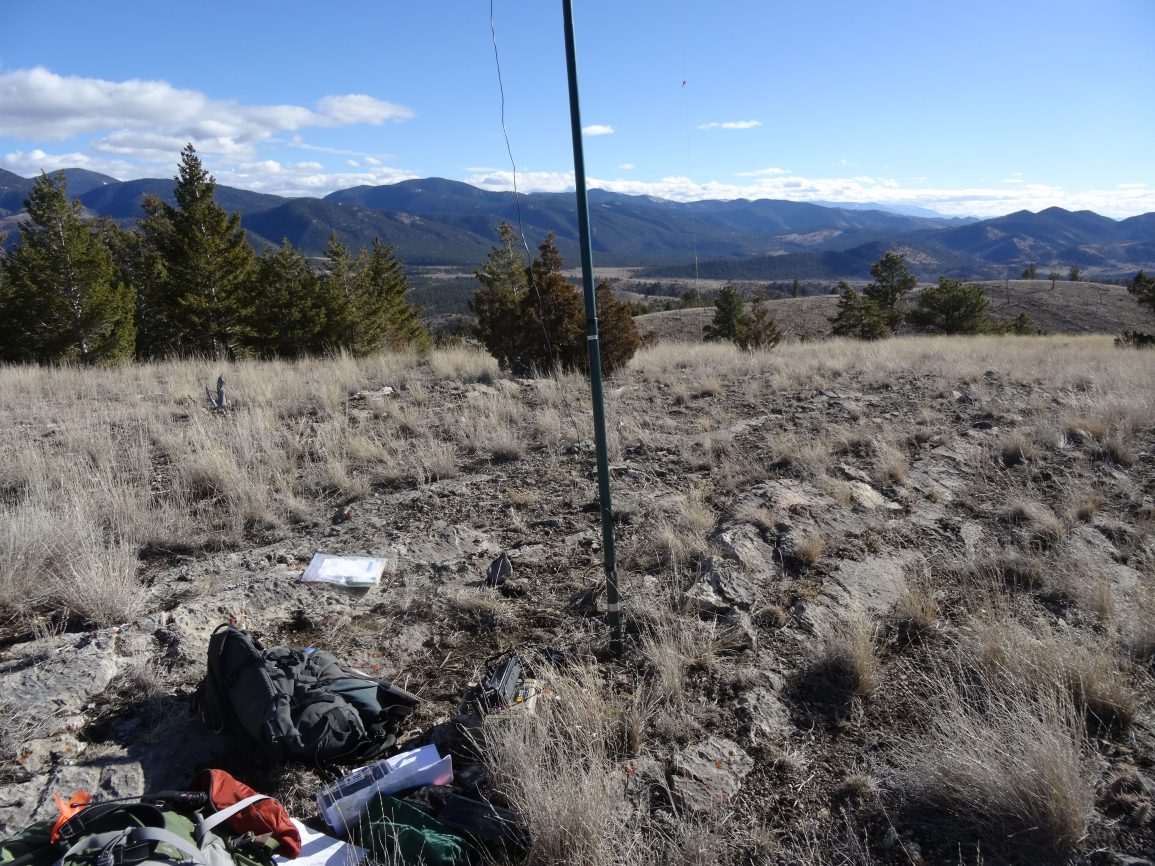
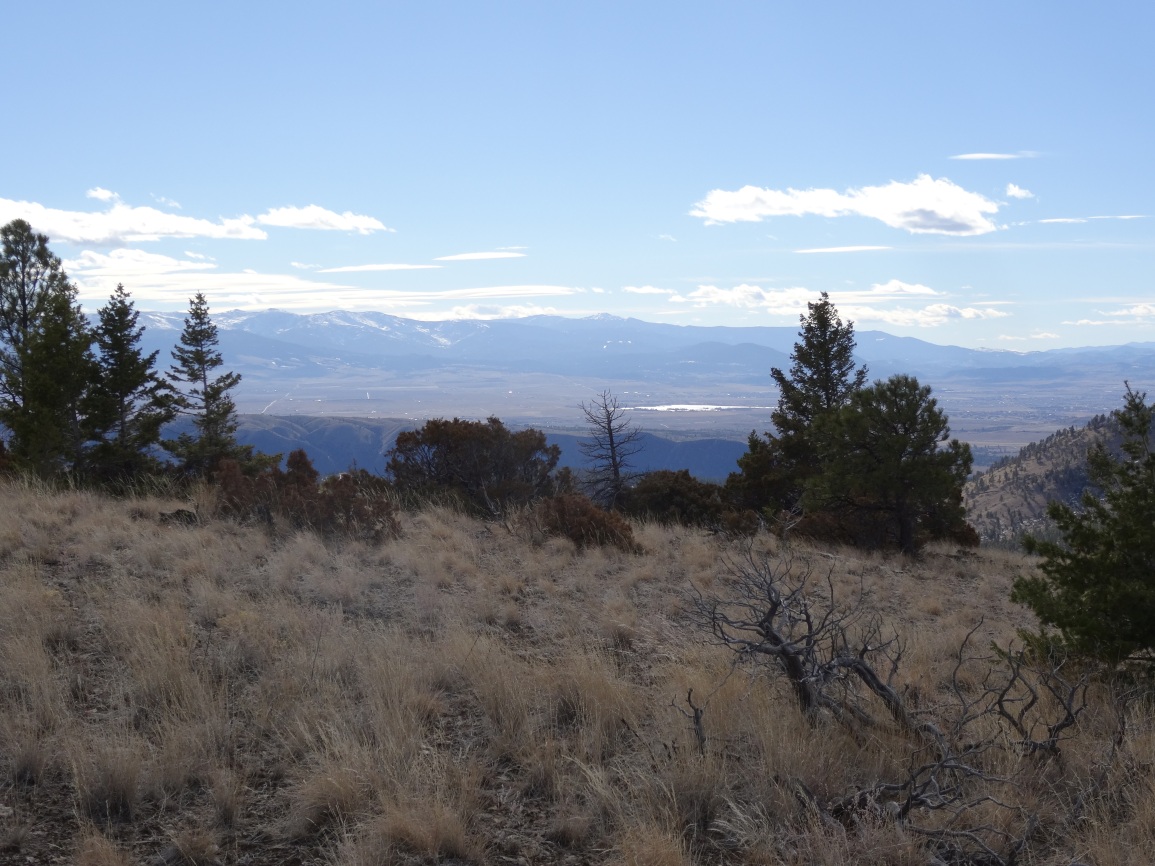
The Devils Tower hike is a beautiful one that climbs a series of benches through open range and timber. It is nicest in the spring, before it gets too hot. The summit offers panoramic views of the Gates of the Mountains Wilderness, the Helena Valley, and the surrounding mountains.
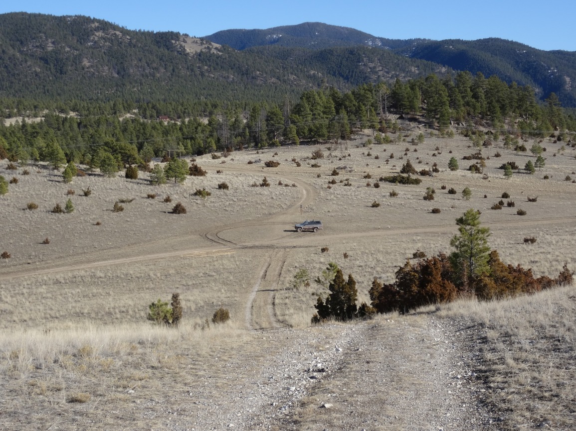
Directions From York: Head north towards Nelson for 4.7-miles to Favorite Gulch Road; Turn Left (West) on Favorite Gulch Road – proceed for 0.5-miles; Turn Right (North) on FS-4125 & proceed for 0.5-miles. Note that road conditions may be poor during wet weather. Park at the 4-way intersection just before the road begins to descend down Owl Gulch.
Walk west, following the 2-track. Leave the two track when it turns right (north) and cross the jackleg fence. Follow the footpath as it ascends in a west-northwesterly direction. The path will fade out at the crest of the bench. Follow the bench crest northerly, and continue following it as it arcs to the west and dead-ends into the side of a forested ridge. Climb straight up the hill to the crest of this final ridge/bench and follow the ridge/bench northerly over the false summit to Devils Tower.