9.2-miles, +3,385 ft, -2,531 ft; From Elk Mountain TH
1.4-miles, +1,040 ft,-260 ft; From Grave Meadow Camp
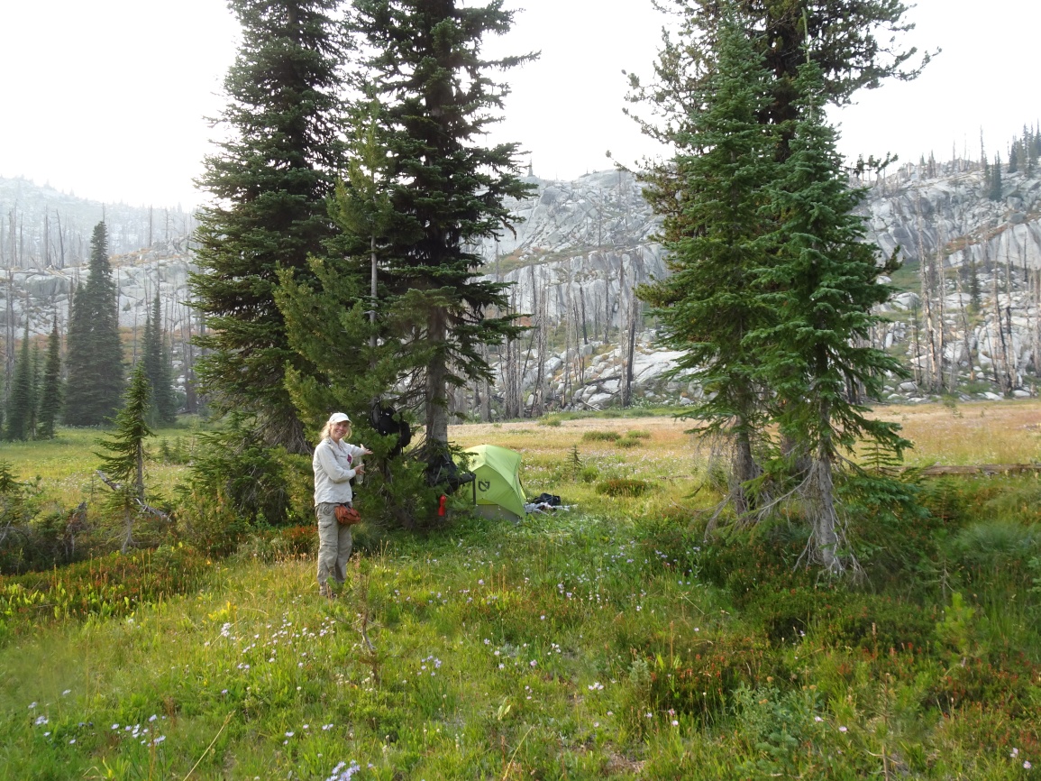
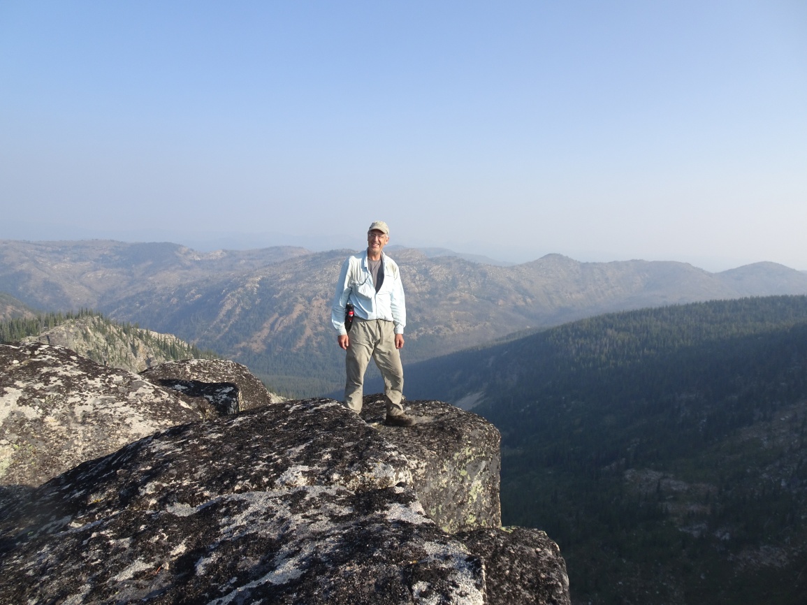
I activated Indian Peak from a camp in Grave Meadow on Day-2 of a 15-day backpacking trip.
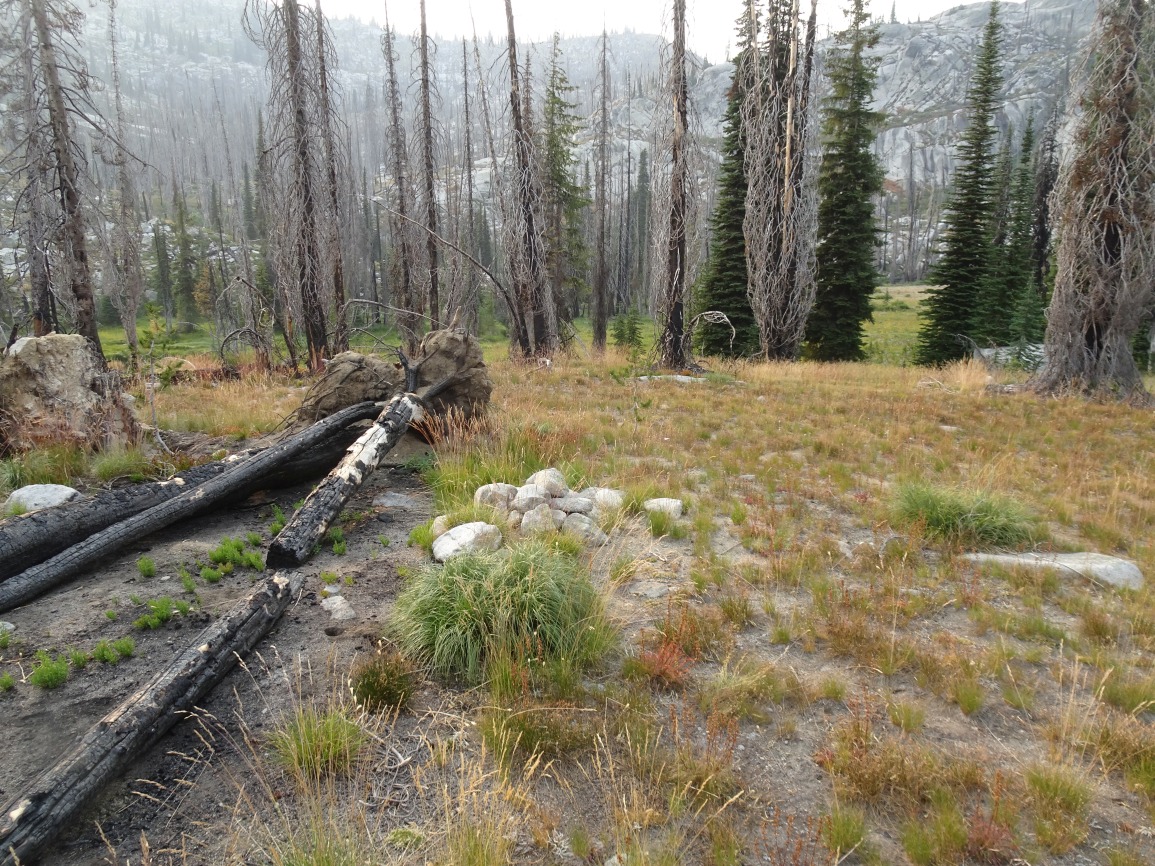
It is a relatively long drive to the trailhead on good Forest Service Roads. Most vehicles should be able to make it with no troubles, but some clearance is helpful. I climbed this summit from a camp at Grave Meadow. I was not able to find any information regarding who is buried in the grave, which is demarked by a loose pile of rocks.
To reach the trailhead (beginning at the Red River Ranger Station on Hwy 222/57, drive 0.3 miles south, and turn left (east) on the “Magruder Corridor”/”Nez Perce Trail”/ FS-468. Continue 18.8 miles and turn left on the Green Mountain Road (FS-285). Follow this road another 17.4 miles north, past Windy Saddle, to the Elk Mountain Trailhead. There is good parking, a small stream, and a latrine at the Trailhead.
The trail is very well maintained and leaves from the east side of the parking lot. Follow the trail over the shoulder of Elk Mountain, then down its north ridge through a pretty meadow, and onwards as it descends towards Bilk Mountain. The trail switchbacks steeply down the east side of the Elk-Bilk ridge, then contours around the south slopes of the Bilk SE-Ridge before climbing back up to a trail junction in the saddle on the southeast ridge of Bilk. Continuing straight will take you to good camping on Goat Creek, a steep 400-feet below. Turning left at the trail junction will take you to Bilk Mountain. Continue over Bilk Mountain and down to Grave Meadow where there is water and good camping – about 7.9 miles from the Elk Mountain trailhead. Most of the area between Bilk Mountain and Grave Meadow is in the 2017 Buck Lake Creek burn, including the area around Grave Meadow, although there are several trees in the Grave Meadow area that survived.
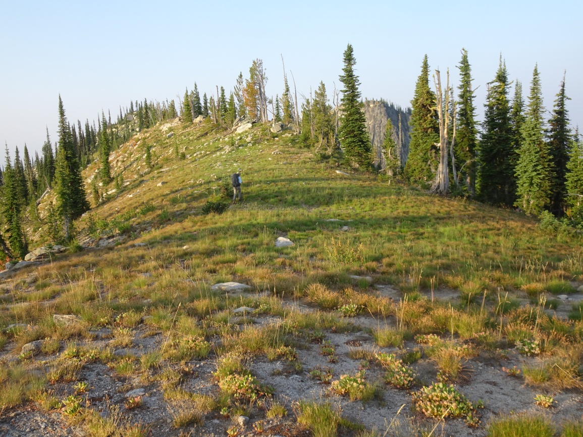
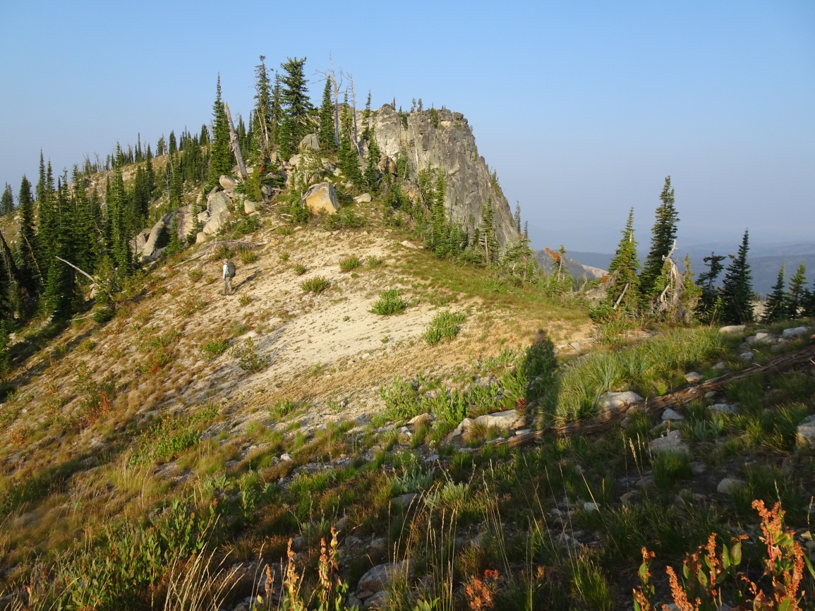
Climb Indian Peak by ascending south up the gentle spur ridge that terminates at the edge of Grave Meadow. Follow this ridge up and turn right (west) when it reaches the main E-W spur ridge. Occasional cairns will mark the path from here to near the summit of Indian Peak. The optimal route generally sidehills on the east side of the north ridge of Indian Peak to just south of the summit, then upwards to the top.