11.2-miles, +3,805 ft, -3,131 ft; From Elk Mountain TH
0.4-miles, +400 ft; From Indian Park
I activated Peak 7540 en-route between camps at Grave Meadow and Buck Lake on the 3rd day of a 15-day backpacking trip. It looked like there was likely camping and water at Indian Park also.
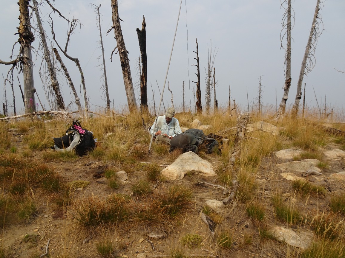
It is a relatively long drive to the trailhead on good Forest Service Roads. Most vehicles should be able to make it with no troubles, but some clearance is helpful. I climbed this summit from a camp at Grave Meadow. I was not able to find any information regarding who is buried in the grave, which is demarked by a loose pile of rocks.
To reach the trailhead (beginning at the Red River Ranger Station on Hwy 222/57, drive 0.3 miles south, and turn left (east) on the “Magruder Corridor”/”Nez Perce Trail”/ FS-468. Continue 18.8 miles and turn left on the Green Mountain Road (FS-285). Follow this road another 17.4 miles north, past Windy Saddle, to the Elk Mountain Trailhead. There is good parking, a small stream, and a latrine at the Trailhead.
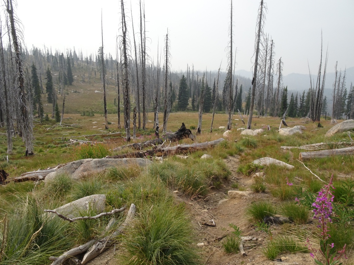
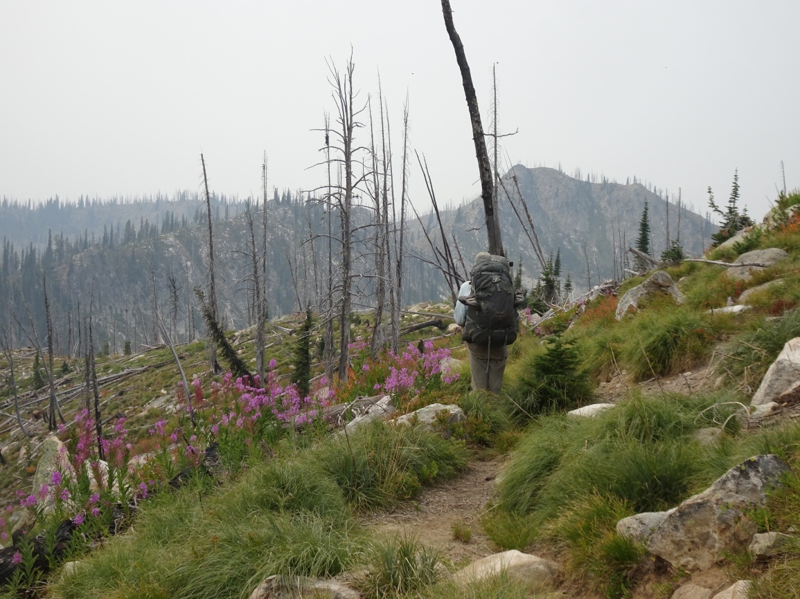
The trail is very well maintained and leaves from the east side of the parking lot. Follow the trail over the shoulder of Elk Mountain, then down its north ridge through a pretty meadow, and onwards as it descends towards Bilk Mountain. The trail switchbacks steeply down the east side of the Elk-Bilk ridge, then contours around the south slopes of the Bilk SE-Ridge before climbing back up to a trail junction in the saddle on the southeast ridge of Bilk. Turning left at the trail junction will take you to Bilk Mountain. Continue over Bilk Mountain and down to Grave Meadow where there is water and good camping. Most of the area between Bilk Mountain and Indian Park is in the 2017 Buck Lake Creek burn. Peak 7540 is in the 2003 Pack Creek burn.
The ascent from Indian Park is on trail 438 which is a major trail that continues north to Mink Ridge and on to either the Selway River packbridge at Mink Creek, or west to Marten Creek and Moose Ridge. Follow trail 438 from Indian Park to near the crest of the ridge, then cut cross-country to the summit. There is a shortcut trail down the summit’s southwest ridge that continues on to Buck Lake and Drake Saddle.