16.2 miles, +4,300 ft; -4,200 From Elk Mountain TH
1.2 miles, +300, - 200 ft ft from Trail 562 Junction
I activated this on the 14th day of a 15-day backpacking from the Elk Mountain Trailhead, via Mink Ridge & Marten Creek with a side-trip up Marten Creek to Marten Hot springs; but the route description is the more direct route across Goat Creek and along the Square Rock & Moose Ridge.
It is a relatively long drive to the trailhead on good Forest Service Roads. Most vehicles should be able to make it with no troubles, but some clearance is helpful. To reach the trailhead (beginning at the Red River Ranger Station on Hwy 222/57, drive 0.3 miles south, and turn left (east) on the “Magruder Corridor”/”Nez Perce Trail”/ FS-468. Continue 18.8 miles and turn left on the Green Mountain Road (FS-285). Follow this road another 17.4 miles north, past Windy Saddle, to the Elk Mountain Trailhead. There is good parking, a small stream, and a latrine at the Trailhead.
The trail is very well maintained and leaves from the east side of the parking lot. Follow the trail over the shoulder of Elk Mountain, then down its north ridge through a pretty meadow, and onwards as it descends towards Bilk Mountain. The trail switchbacks steeply down the east side of the Elk-Bilk ridge, then contours around the south slopes of the Bilk SE-Ridge before climbing back up to a trail junction in the saddle on the southeast ridge of Bilk. Continue straight (north) at the junction and drop steeply down to Goat Creek where there is good camping and some of the clearest water that can be imagined. The trail continues down Goat Creek a short distance, then winds north around the brow of a hill before becoming vague for a short distance as it continues north across a broad swale. The trail is more apparent again as it switchbacks steeply up the ravelly south face of the Bilk - Square Rock Ridge to eventually intersect the well maintained ridgetop trail (trail 602). Follow this trail northerly to the obvious junction with the Moose Ridge Trail. Follow this well-maintained trail north. The trail is dry until you reach an old outfitters camp and spring in the swale just before the junction with Trail 547. The old camp does not appear to be frequently used – likely due to its location amid standing dead timber from the 2017 Lone Pine burn. We camped in this area & found it to be a good base for activating Shearer Peak & the nearby Moose Ridge Peak. It is likely that Bitch Lake also has good camping, but we did not check this out.
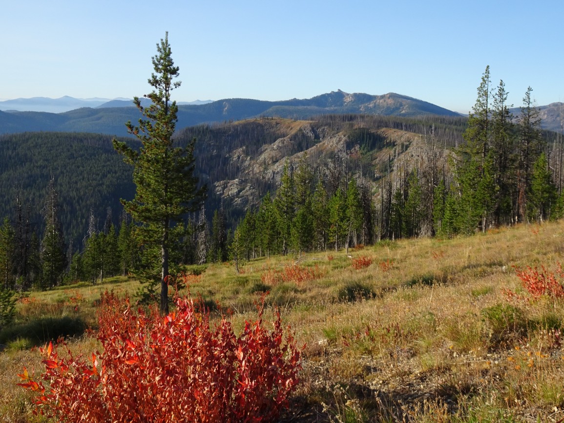
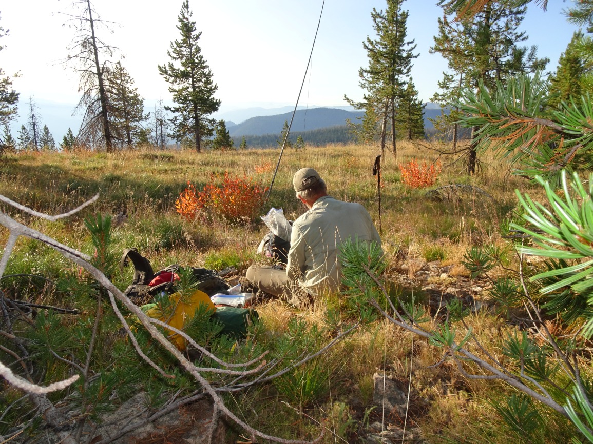
The Moose Ridge Trail continues north 1.2 miles from the junction with Trail 547 and passes near the rounded summit of Moose Ridge, which is just off the trail. The summit is a pleasant high point at the edge of a grassy meadow with fine views.