2.73 miles, +1,895 feet
Instructions to Trailhead (Note that there are few, if any, road signs along this access route):
Beginning at the junction of Highways 89 and 87 near the Armington Junction Rest Area, travel southeast on Highway 87 for 700 feet and take the first left on Armington Road (beneath the railroad overpass). Follow Armington Road north 1.1 miles to the junction with Willow Creek Road. Turn right (northeast) on Willow Creek Road. Follow Willow Creek Road 9.2 miles east and watch for a road that “T’s” into Willow Creek Road from the North. Turn left – this is still “Willow Creek Road”. Follow this road as it descends to Little Belt Creek and follows the creek upstream to the northeast. There will be a “Y” after 2.3 miles. Stay right at the “Y” on Pinewood Lane and continue upstream in the Little Belt Creek drainage. Continue following Pinewood Lane for 1.2 miles where a road will “T” in from the left (north). Note that there are signs at this junction that identify USFS access (see photos).
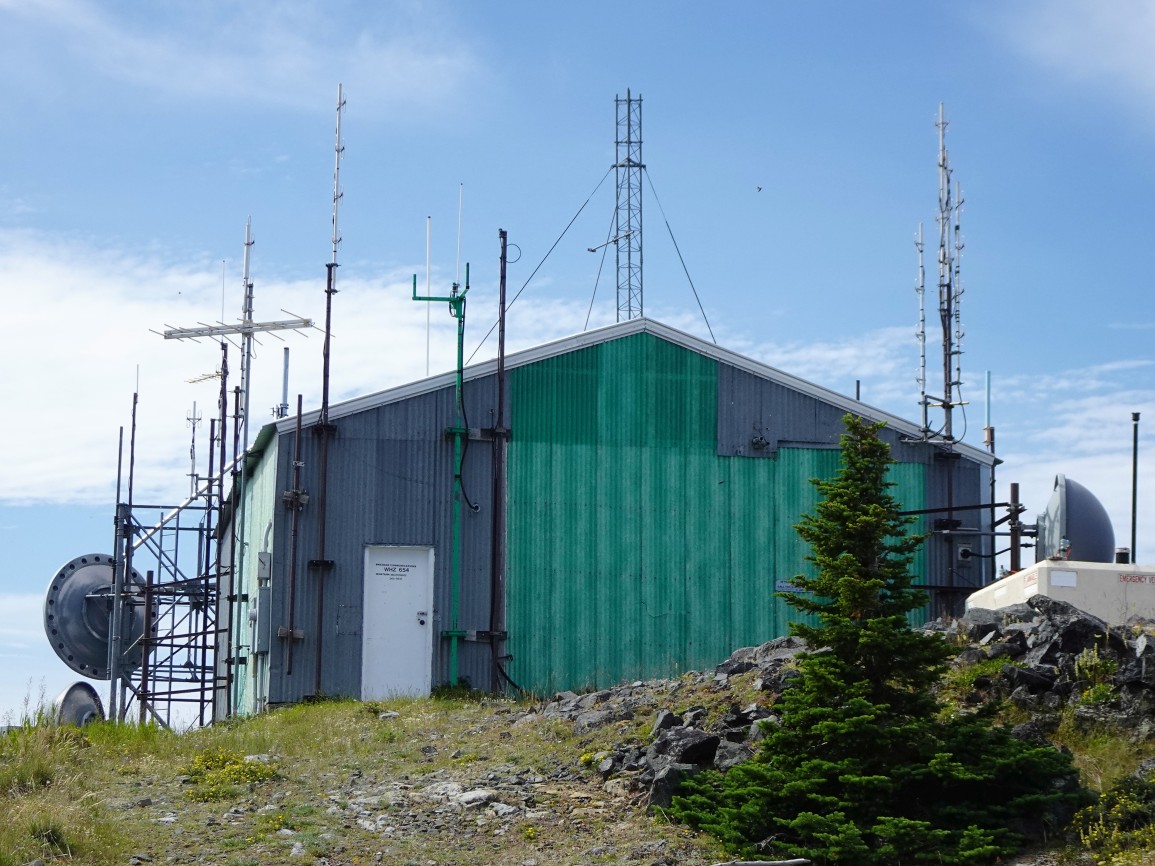
Turn left (north) at the “T” and follow this road 3.0 miles to the saddle and hairpin turn near point 5785. There is good parking here alongside the road, or by the fire pit. This is the trailhead. Note that the first portion of the road (from the “T” with Pinewood Lane) is on private property and is poorly maintained with many deep ruts and areas that will be muddy in the spring. The upper portion of the road is well graded rock-rubble that provides a good all-weather base. Although low range and 4wd are advisable, the road is wide and suitable for any stock 4wd. It is likely OK for Subarus but will require care and attention on the lower portions. Although the road is routinely used to access the electronic site at the summit, unauthorized motorized use is not allowed beyond the gate (which may be open or closed) that is several hundred feet beyond the hairpin turn. Note that access in support of the Amateur Radio facilities at the summit is “authorized use”, which may allow an opportunity for the well-connected activator to drive to the summit.
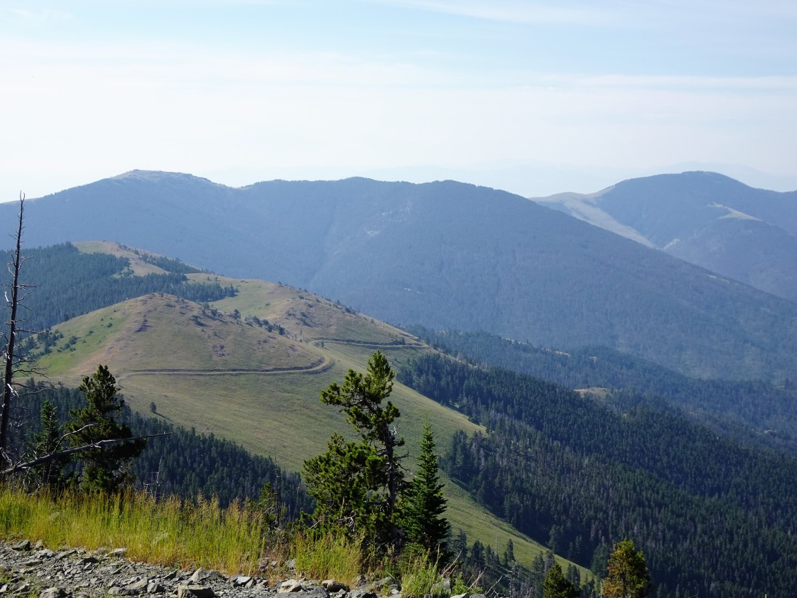
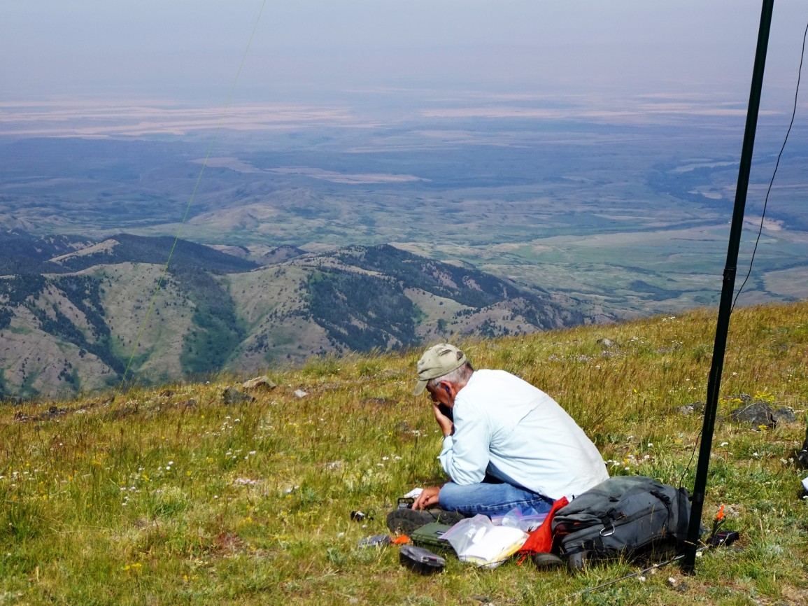
Hike along the access road from the trailhead for 2.7 miles to the summit. There is a large grassy area in the activation zone between the two electronic sites that provides for a nice QTH with great views of the surrounding mountains and plains. I found SSB to be challenging due to a high noise floor – perhaps from the nearby electronic sites. CW worked better, but QRM was still problematic.