4.9 miles, +2,632 ft, -124 ft; Nice Hike
Driving Directions from Ovando, MT
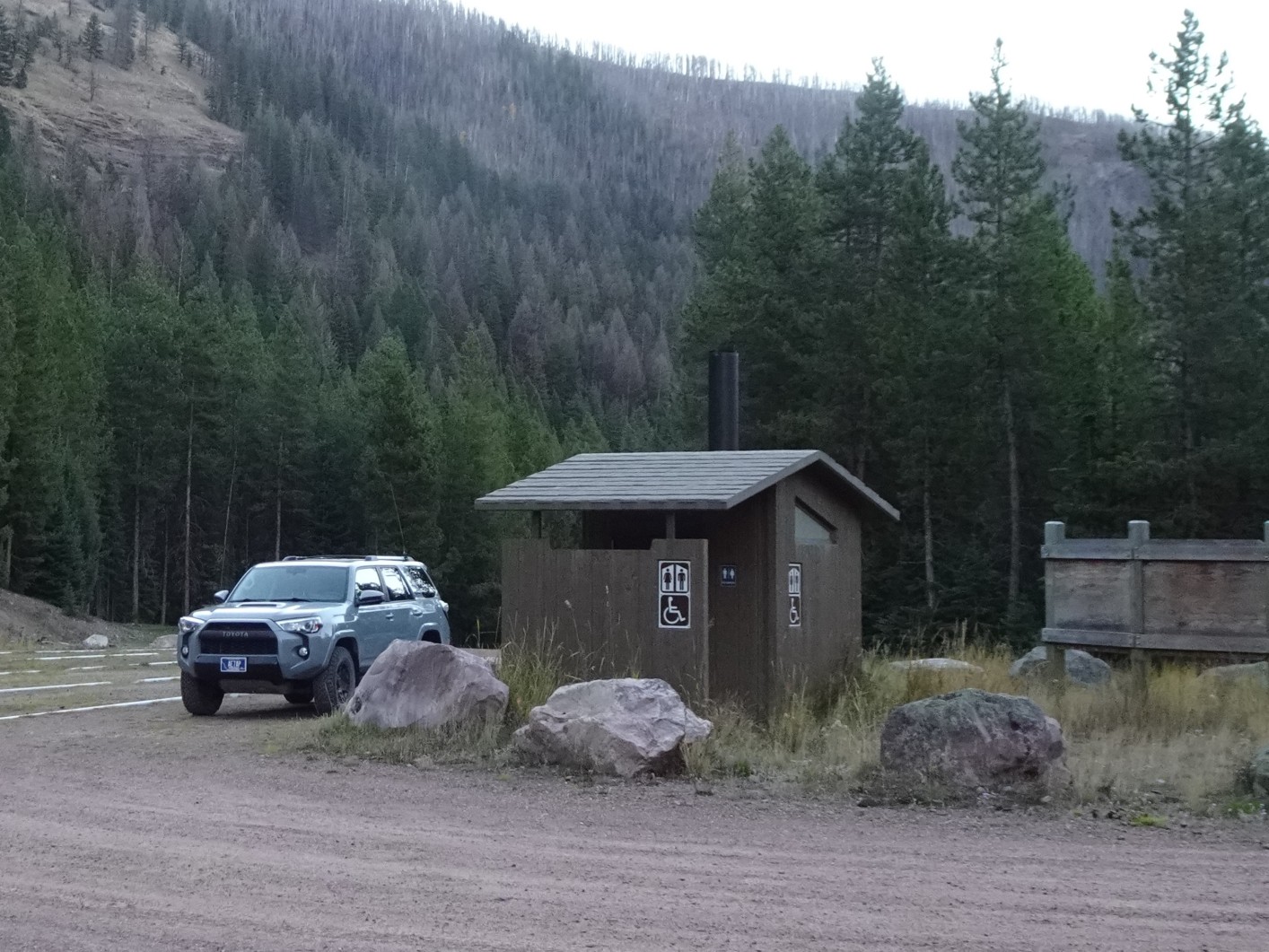
Go north on Monture Creek Road (89) that leaves Highway 200 immediately west of town. Turn left at the Monture Guard Station (Mile 7.5) onto FS-4388. Turn right at the “Y” (Mile 8.1), staying on FS-4388. The Lodgepole Creek Trailhead is at the end of FS-4388 (Mile 16.5). FS-4388 is open to full sized vehicles May 1 to November 30. The Lodgepole Creek Trailhead is a relatively major trailhead that is used by stock to access the South Fork of the Flathead drainage.
Hiking Directions
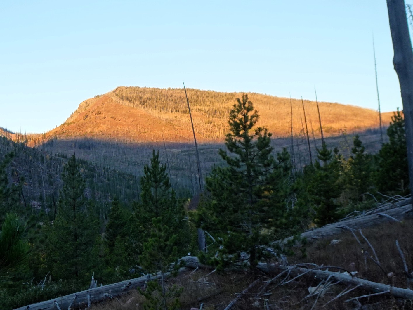
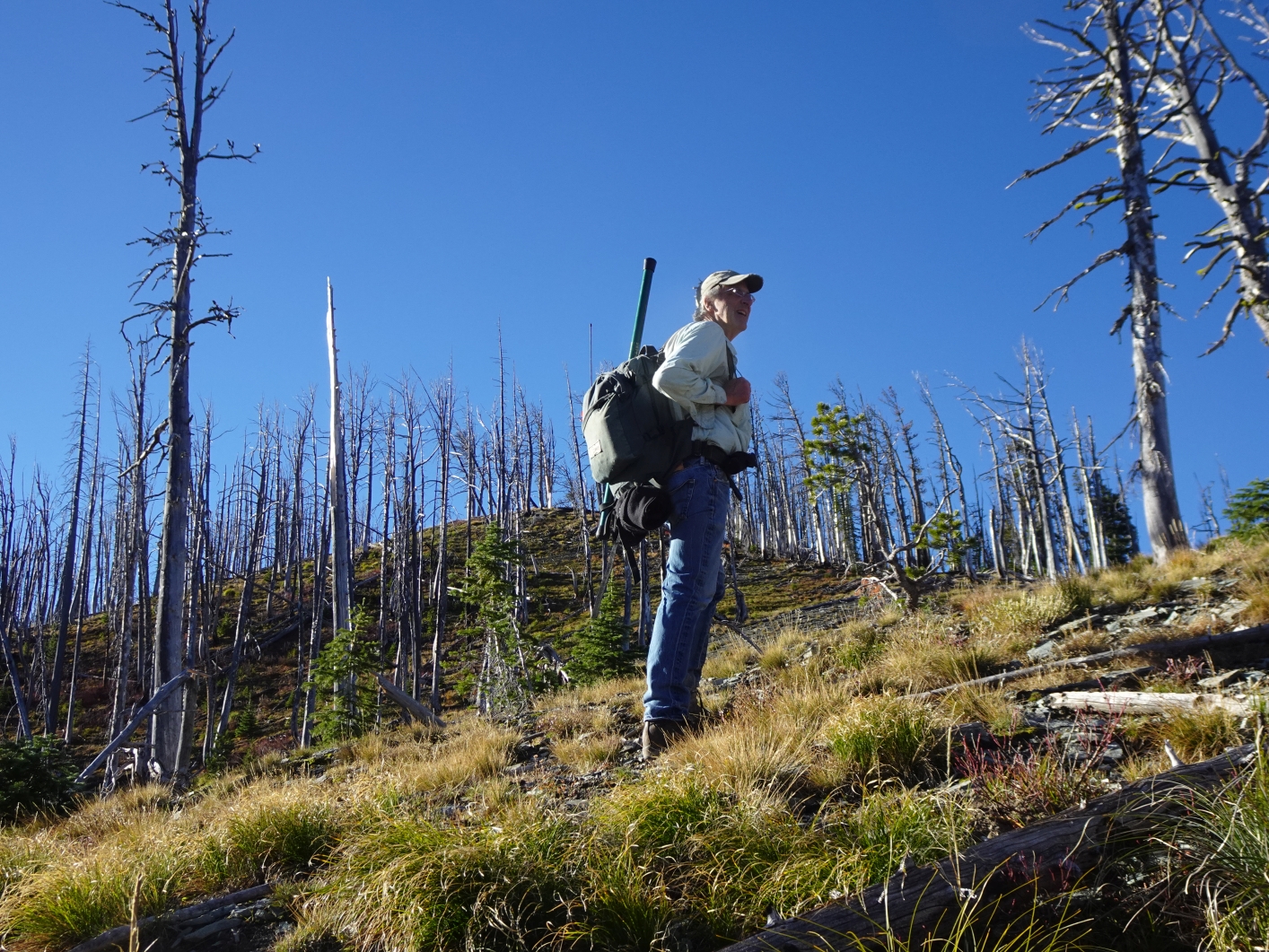
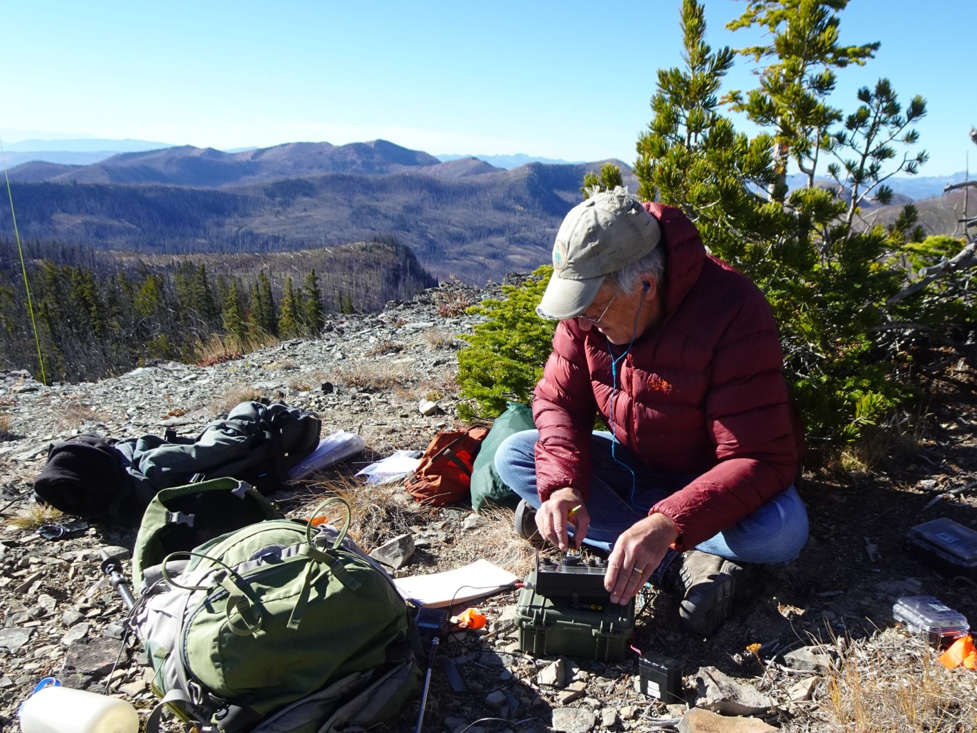
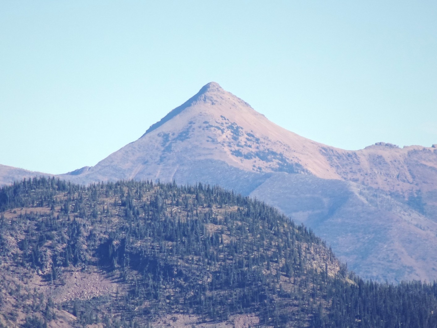
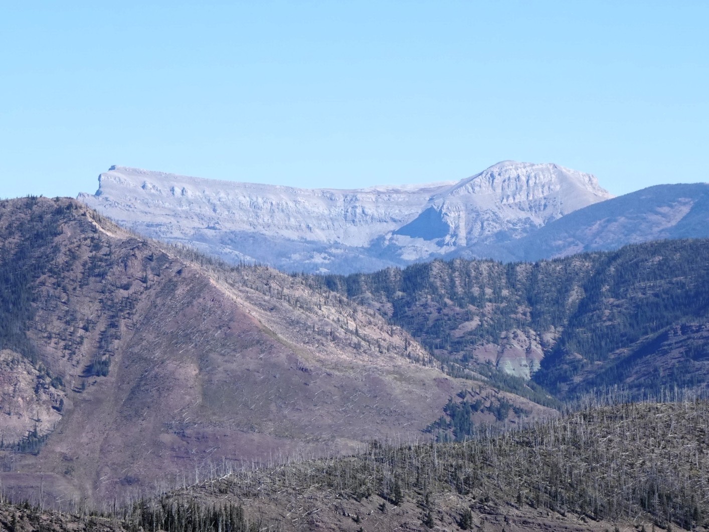
Hike up the Lodgepole Creek trail to Youngs Pass, descend a short distance on-trail, then trend left off trail towards the east ridge of W7M/GA-083. Climb the steep slope on the north side of the ridge to reach the ridge crest and follow the ridge to the summit. There are various sub-ridges and swales to choose from, which all lead to the summit. The summit has fantastic views in all directions.
Road Conditions
The roads are suitable for most vehicles.