Climb: 4.6 mi, +3,170 feet
Approach: 11.8 mi., +1,102 feet, -925 feet
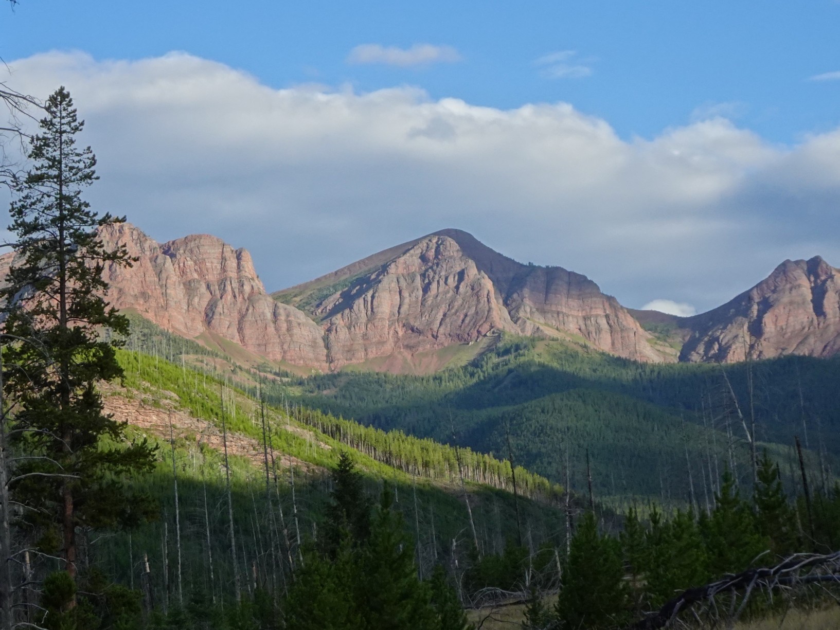
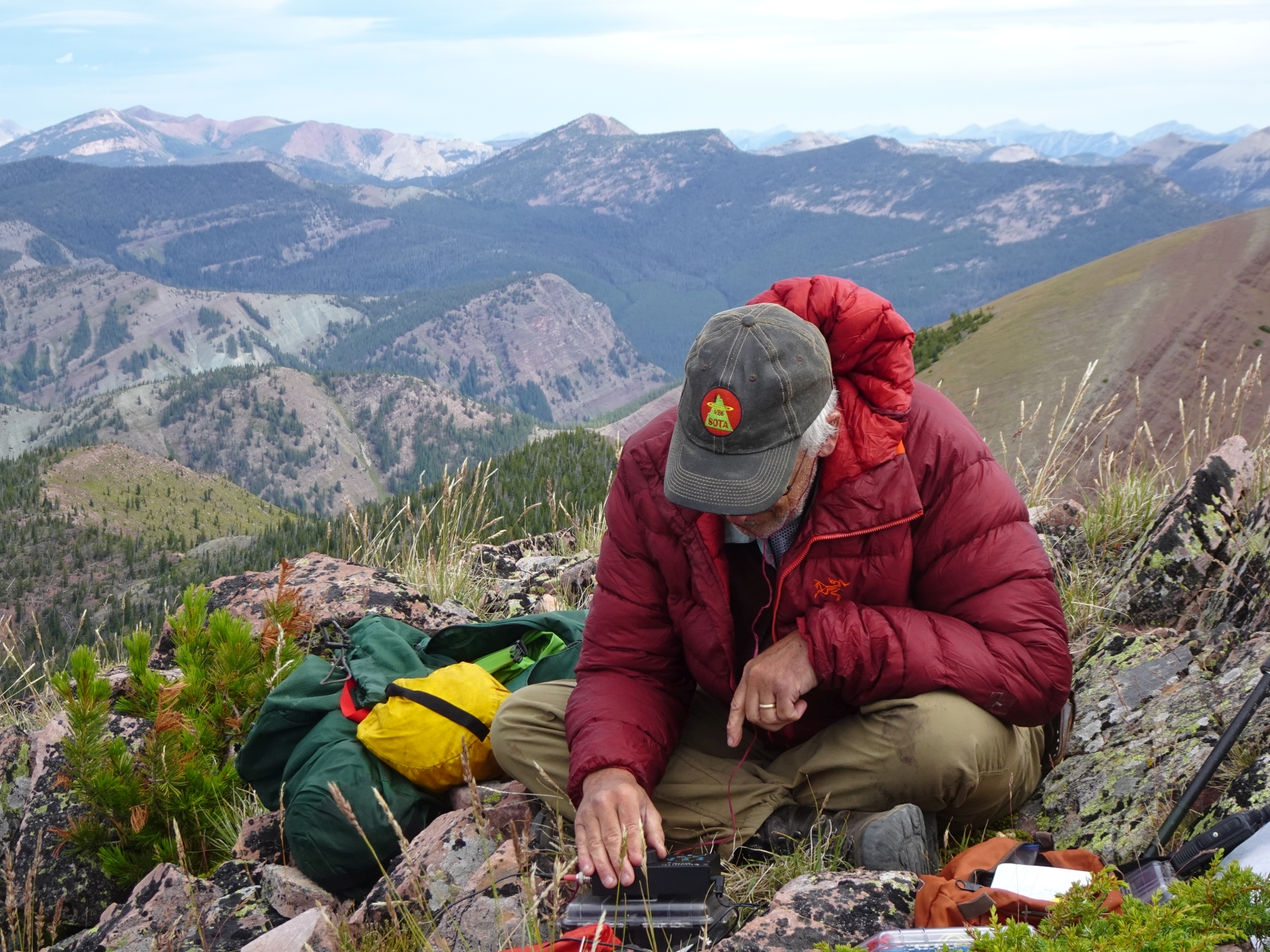
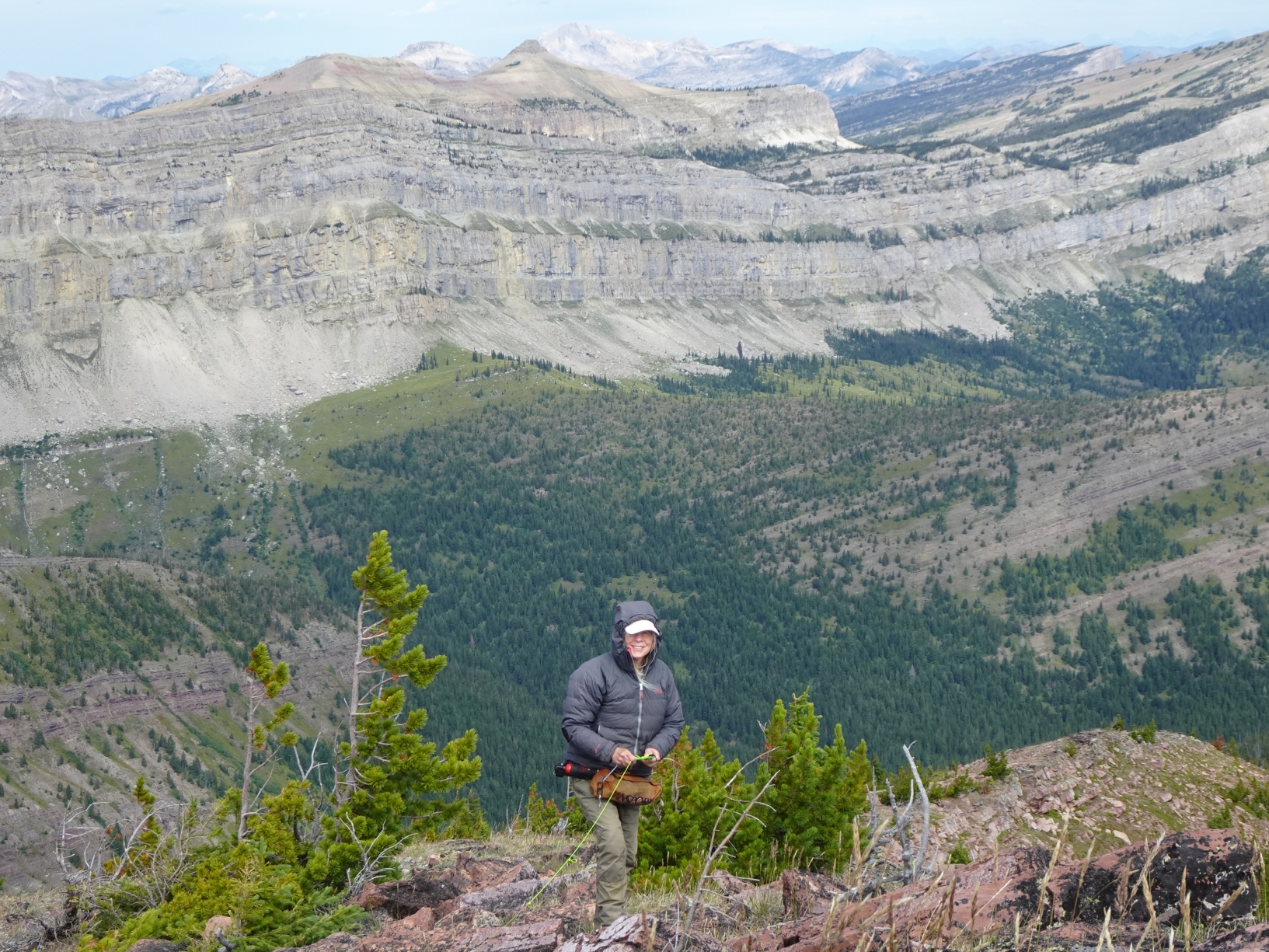
This is a very nice mostly on-trail hike in the Bob Marshall Wilderness that is probably most enjoyable as a three-day backpacking trip. The summit has spectacular views in all directions, including the entire southern portion of the iconic Chinese Wall. The trailhead is a primary entry point to the Bob Marshall Wilderness Complex. There is plenty of parking at the trailhead. The road to the trailhead is an all-weather gravel road that is well signed and suitable for most vehicles.
Directions to Trailhead:
From Augusta: Follow the signs west to Benchmark 30.4 miles. The road will pass Wood Lake and the Benchmark airport. Continue north to the end of the road and park at the South Fork (of the Sun River) Trailhead.
Approach:
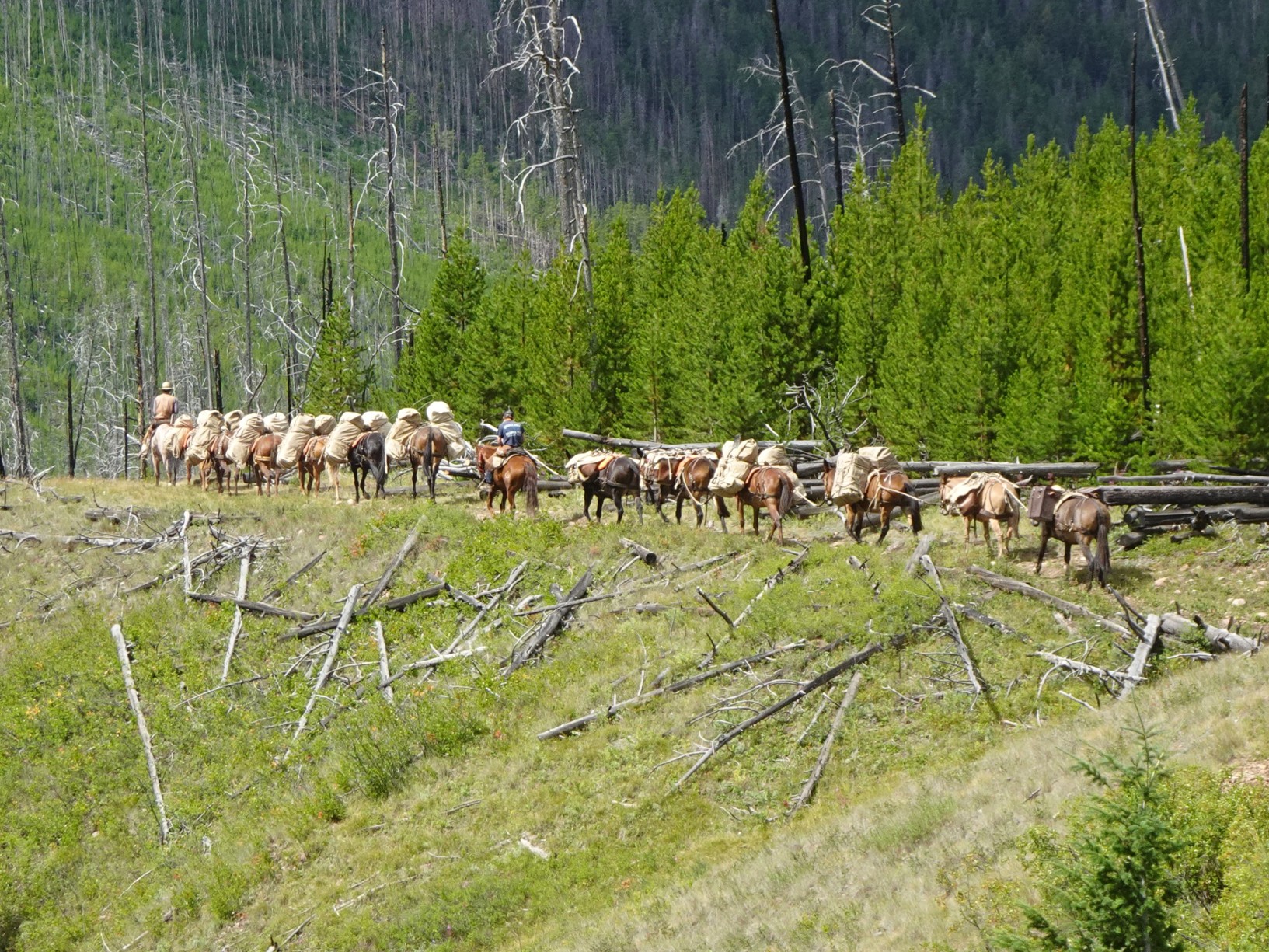
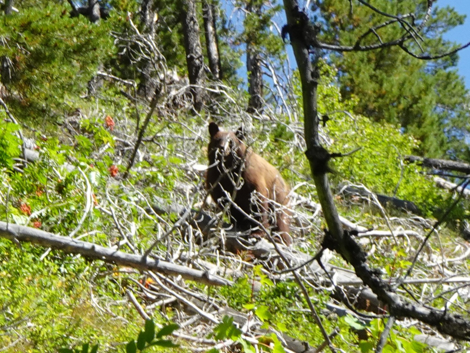
The approach trail is a heavily used and well-maintained mainline trail that is used by recreational backpackers, CDT hikers, and both recreational and outfitter horse packers. When encountering horses, it is a best practice to exit the trail (downhill if possible) and to remain standing and speaking. This will minimize the chances for a wreck. Note also that this is bear country (Grizzly and Black Bear). It is advisable to carry bear spray and food must be hung when camping. Talking and traveling during daylight hours also decreases the chances for a surprise (and potentially dangerous) encounter.
1. Follow Trail 202 north for 5.0 miles. The trail will cross two packbridges and meet Trail 203 immediately after crossing the 2nd packbridge, which crosses the “West Fork” (West Fork South Fork Sun River). Turn left (west) on Trail 203.
2. Follow Trail 203 for 6.8 miles to where it meets trail 211 (White River Pass / Indian Creek Trail). Camp where convenient – there are lots of options.
The Climb:
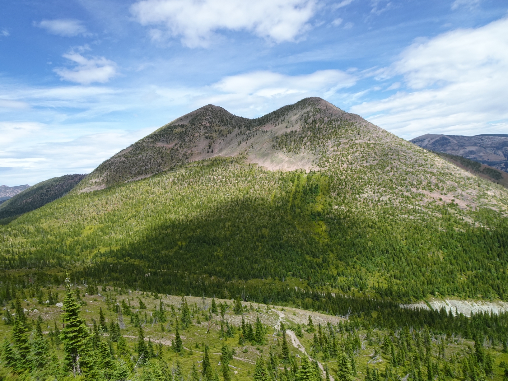
Cross the West Fork and follow Trail 211 up towards White River Pass. Note that the West Fork crossing can be dangerous early in the season but generally settles down after the first week of July. There was a nice log walkway in August 2025, but this is likely not typically present and should not be expected. Follow Tr-211 to the large meadow below White River Pass and turn right (north) on the well-defined user trail. Follow this user trail to the low saddle that is directly west of Red Butte. Leave the user trail and climb the vegetated slope beneath Red Butte, then proceed directly to the summit, staying left (north) of the talus/boulder field that lies in the swale between the north and south summits of Red Butte.