0.5 Miles, +363 feet; Off-Trail Bushwack
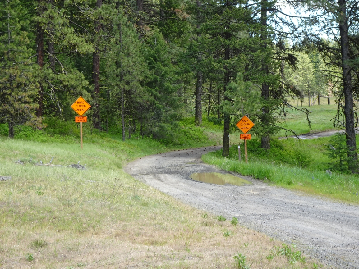
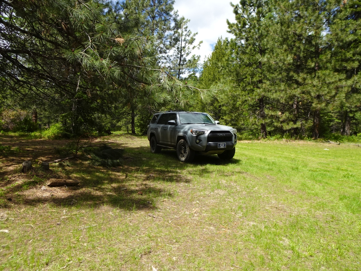
This route description offers an alternative approach from the southeast side of the mountain that may be incrementally less troublesome than the route described by K7MK. The road to the Trailhead immediately enters the Wallowa Whitman National Forest, which did not have a Motor Vehicle Use Map as of 2025. The road appears to receive some degree of USFS maintenance, as there is signage relating to a washout further down another fork of the road to the east, and several loads of crushed gravel/cobble have been placed in areas that could be boggy. I began hiking at a large meadow camping area that appeared to get fairly heavy use.
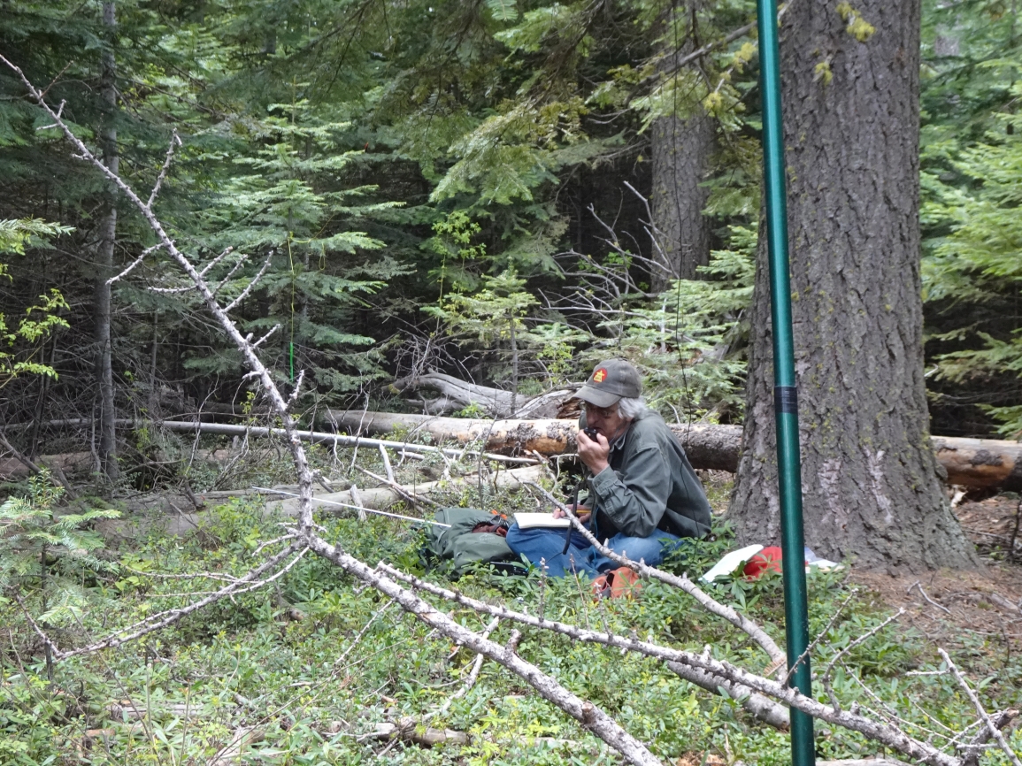
This is an easy off-trail hike that begins in patchy open timber, then transitions into moderately thick doghair timber about 1/2 of the way up. There are no shrubbery thickets - so that is nice! There is a clearing at (near) the summit, but there are no views. The trailhead is accessible to most vehicles with moderate or high clearance (Rav4, Subaru, etc.). Instructions to the TH follow:
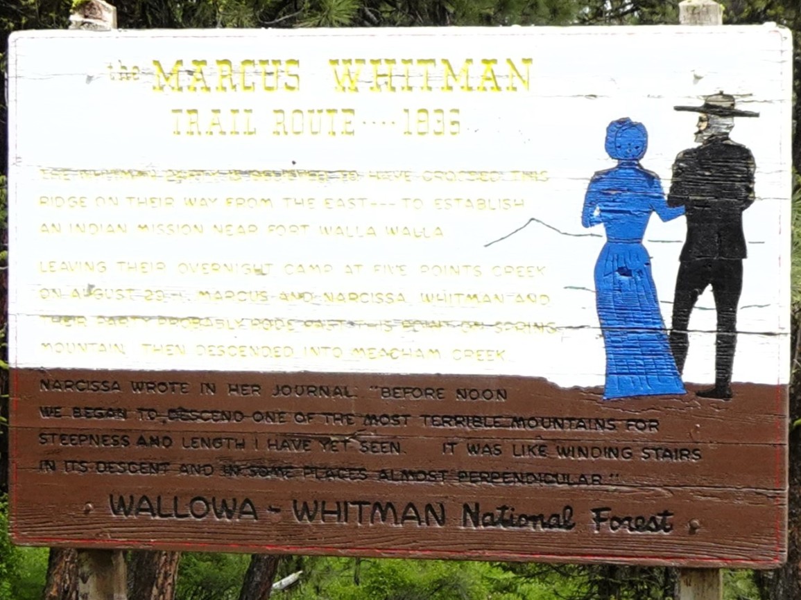
From FS-31, turn east on FS-130. There is a historic interpretive sign at the turnoff describing the Whitman party’s transit of the area. Take the first left onto FS-138. Continue on FS-138 (stay left at the next “Y”). Park in the green meadow/camping area (0.9 miles from FS-31) & hike up the ridge to the summit.
I have uploaded a track of our hike to the SOTA tracking page - it begins at the parking area.