Lesson learned: all forest roads are not created (nor maintained) equal. Buzzard Butte has two seeminly viable routes for approach: off HWY101 from the east via Farmer Creek Road, and from the west near Pacific City via Sandlake Rd. I discovered the east route, although still viable, is a much longer hike than I was planning for. Farmer Creek Rd becomes a forest road and is fairly drivable up to the point that it forks to NF-1034 (45.2585, -123.9035).
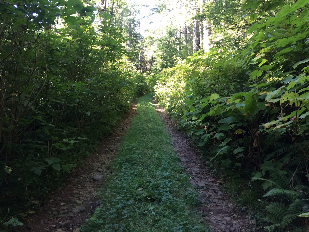
Past this point it's not as well maintained and I had to abandon the car and hike, adding 1.5 miles and 1000' of elevation climb to the on foot approach. This combined with the excessive heat today meant no joy for the activation.
I'll likely head back up tomorrow to get the job done proper. When I reached the fork between the east and west options where NF-1023 becomes NF-1004 (45.2622, -123.9072), it was clear that the west route via NF-1023 is much better maintained, and should make for a nearly drive-up summit when I re-attempt. Watch this space.