This summit spans a property boundary between public BLM land and private Stimson land, and although Stimson allows the public to hike on most of their property on weekends, there is no need to enter their property to access the activation zone.
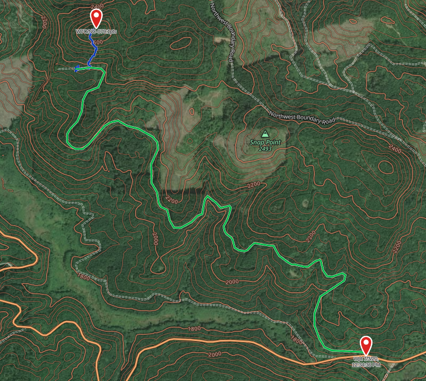
Follow the usual directions to Sheridan Peak (NC-009) past McGuire Reservoir along NW Meadow Lake Road which turns into NW Nestucca Access Road. Shortly past the reservoir, turn off the main road onto the BLM forest access road at (45.31154, -123.41533). This road is the usual forest road dirt and gravel affair; easy enough to pass with a 4WD or AWD drive vehicle.
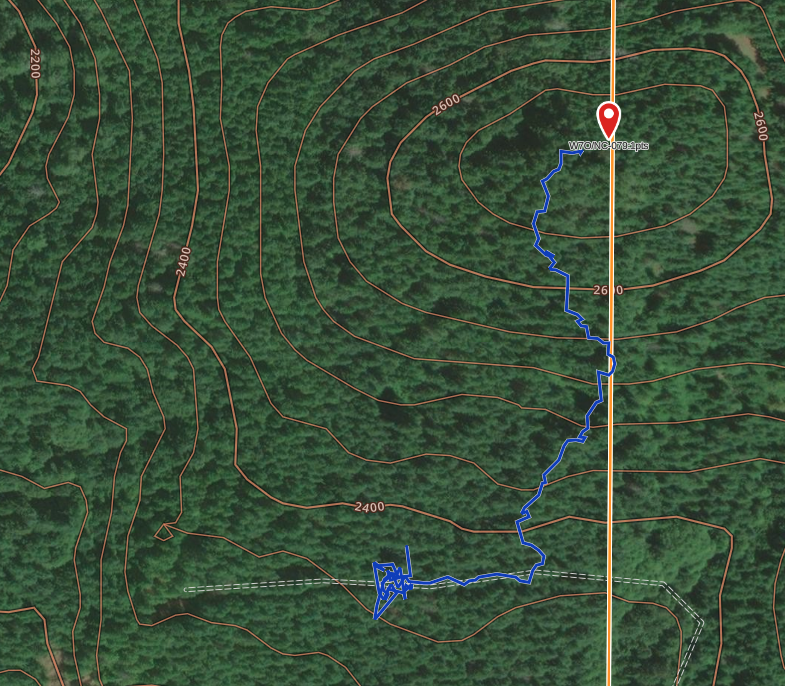
The BLM road is straighforward to follow for just short of 3 miles until almost the end of the route, I suggest parking at (45.32777, -123.43858). This position is almost directly south of the summit, but I found the easiest ascent path starts slightly back up the road. Either high north and immediately east from the parking spot in the forest proper, or walk east back along the road about 300 feet (my entry/exit point from the forest/road was at 45.32782, -123.43752 - see the route image).
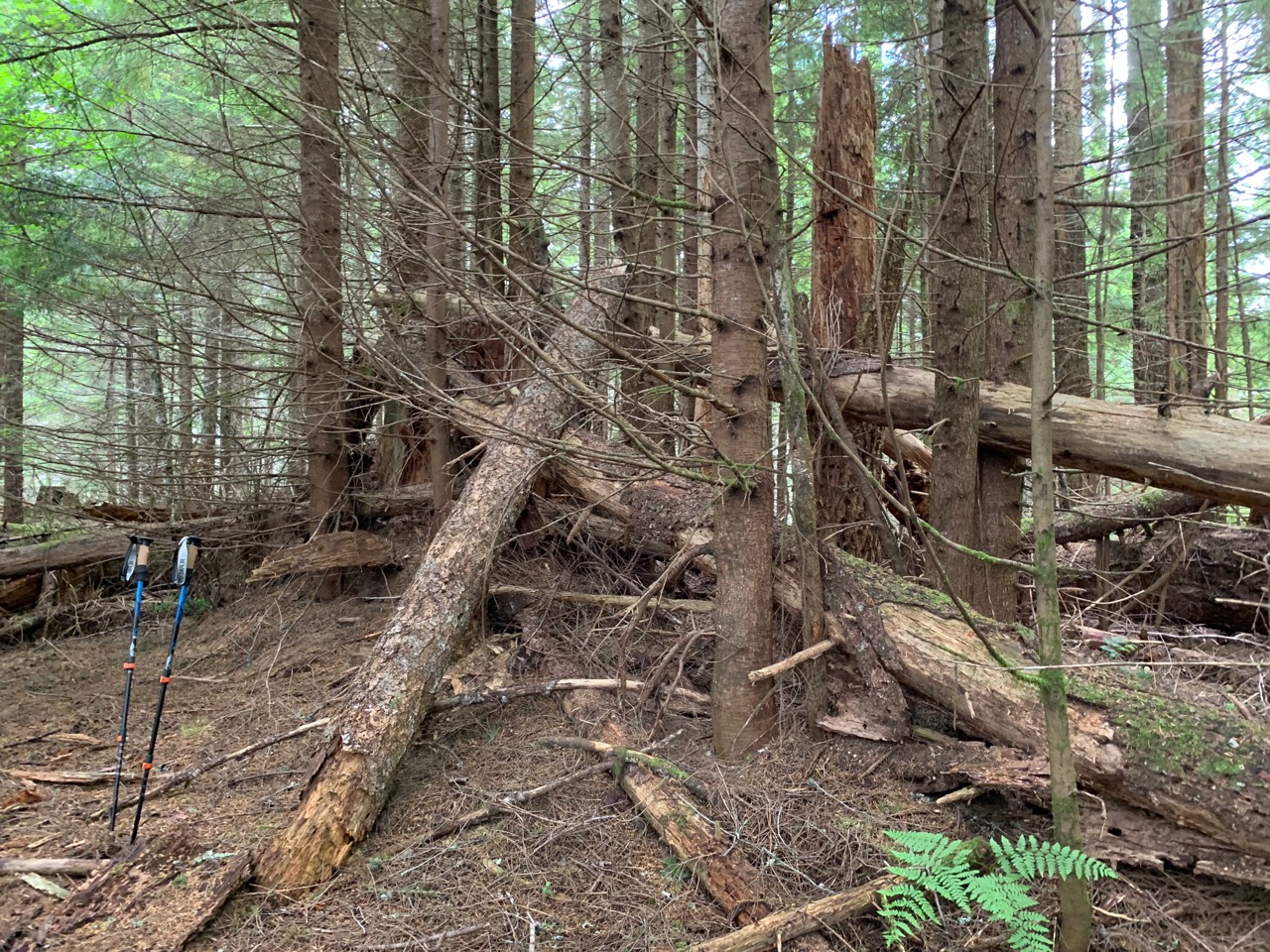
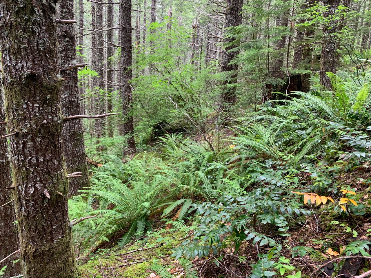
The bushwhack ascent is less than a quarter mile but about 250 feet gain. The forest is medium density but I found both the climbing and descending relatively straighforward; trekking poles and boots or hiking shoes highly encouraged in the loose sloped soil. Ground cover is light to completely open and finding clear paths to navigate was easy enough.
The forest completely covers the summit as well; I had a difficult time putting up both a 2m yagi and especially with dipole wires getting caught in branches. I was able to get contacts using HF, but nobody answered on 2m, probably due to the time of day on a Friday. I think during a Saturday AM activation, using only 2m would be sufficient.