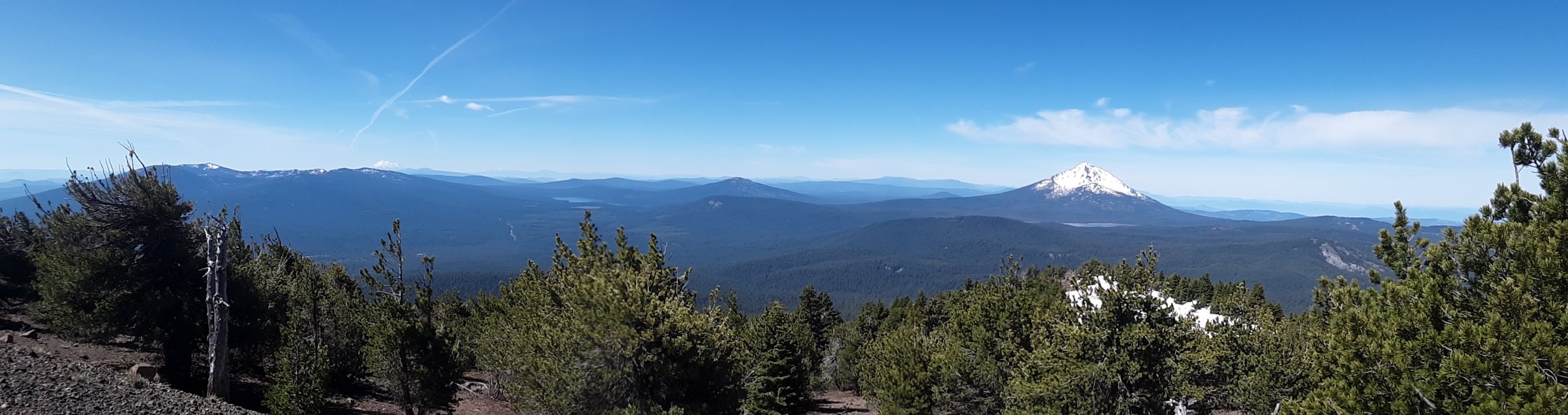
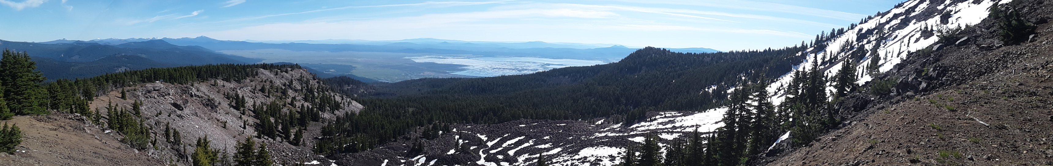
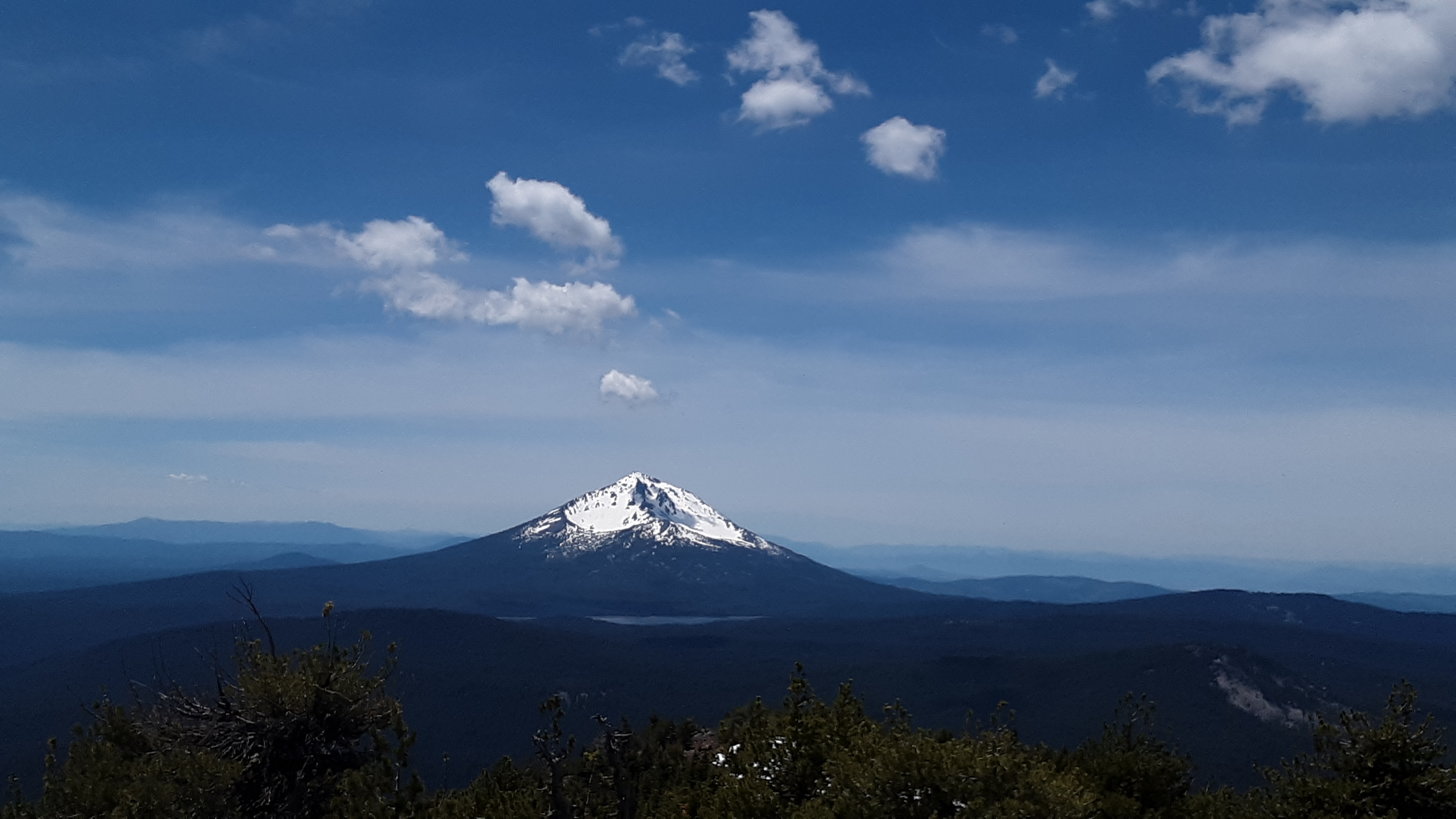
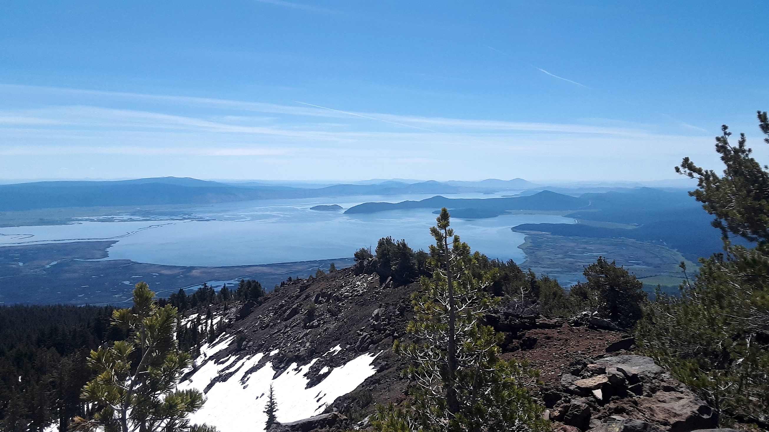
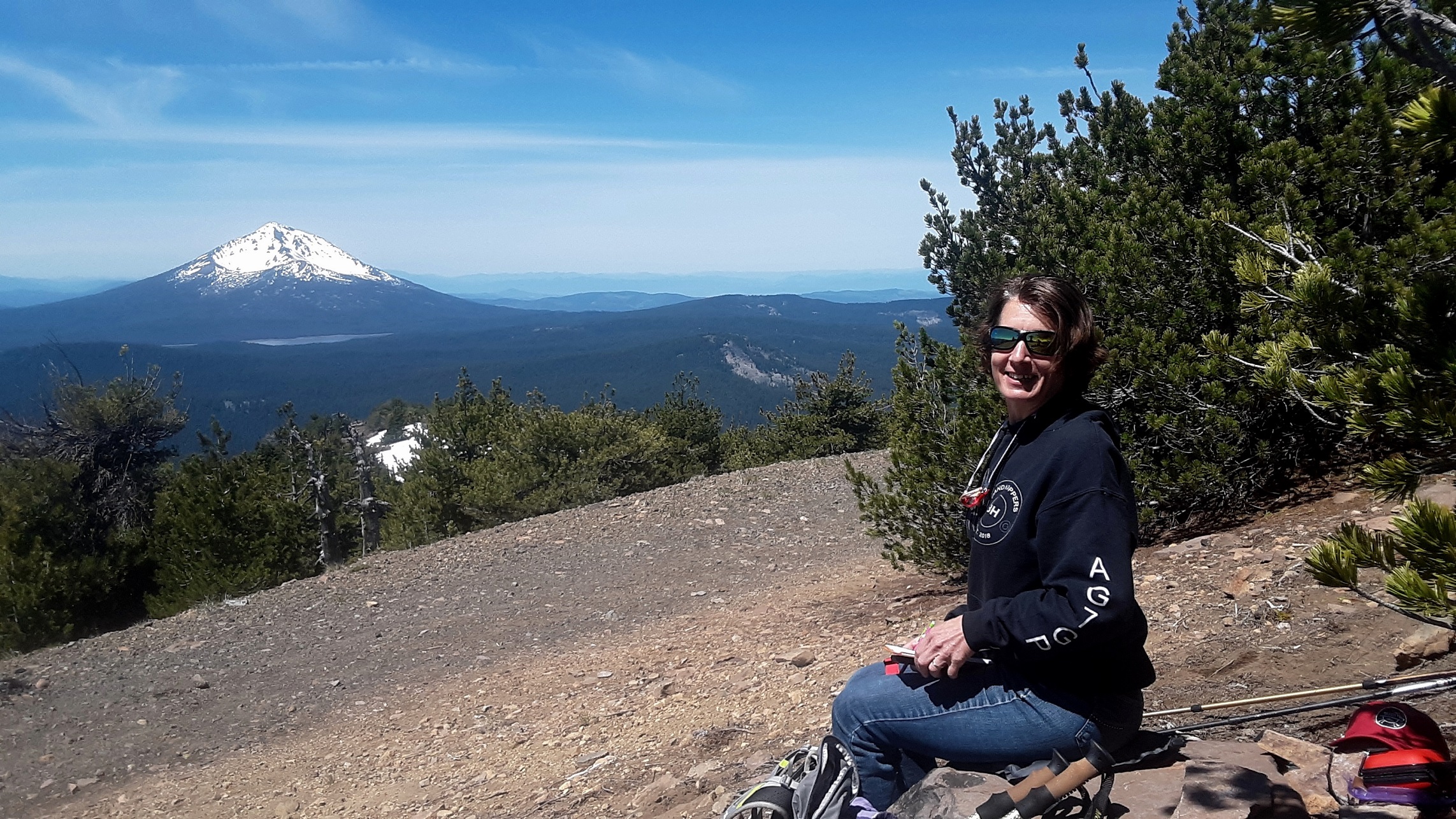
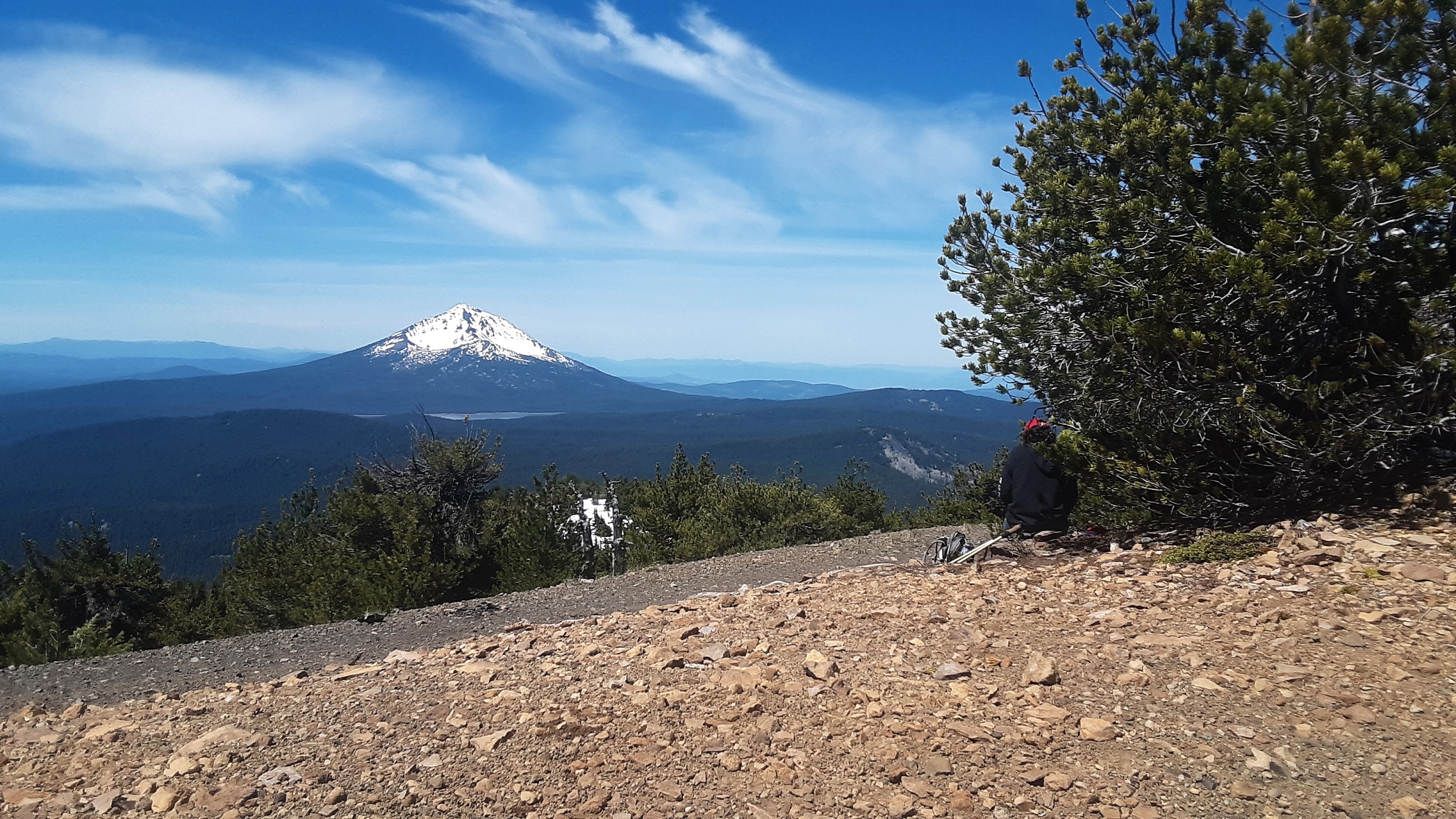
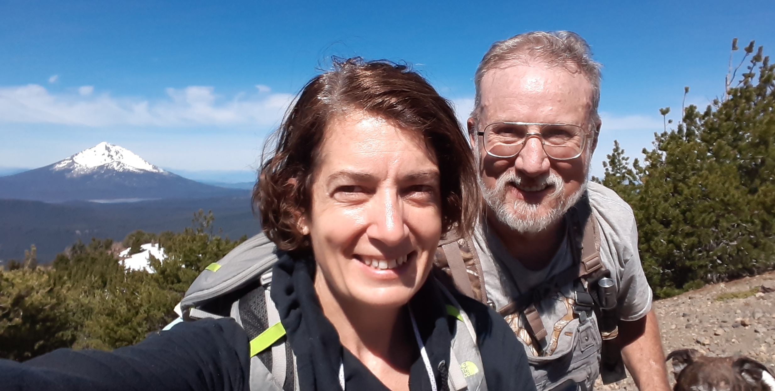
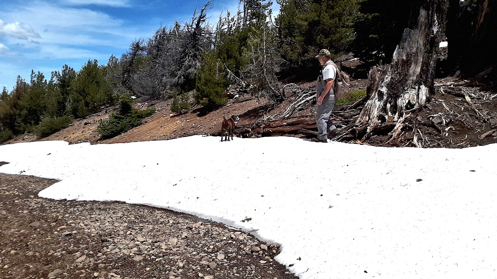
I have to say, this summit is now at the top of my list. I went expecting an easy drive to 8 pt summit, but there was still about 3-5 ft deep snow drifts about 1 mile before summiting, but boy was the hike nice. The view is incredible. You can see just about all the regional highlights, snowy side of Mt. McLauglin with Fourmile Lake at its base right beside you, Crater Lake Rim, Thielson, Shasta, Upper Klamath Lake, Siskiyou Crest, Red Buttes, Aspen Butte, some big ones west of Crater Lake I did not get the name for, lava flows, and natural lakes. All I can say is it was spectacular and I did not want to leave. Many pictures but they don't do justice to the actual experience on Pelican.
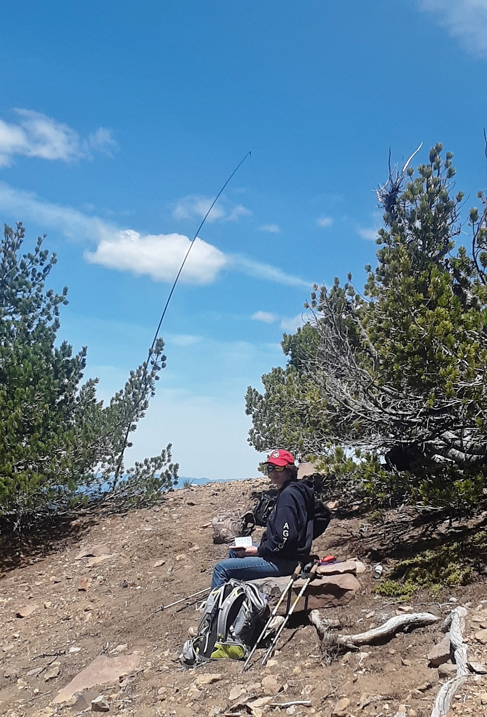
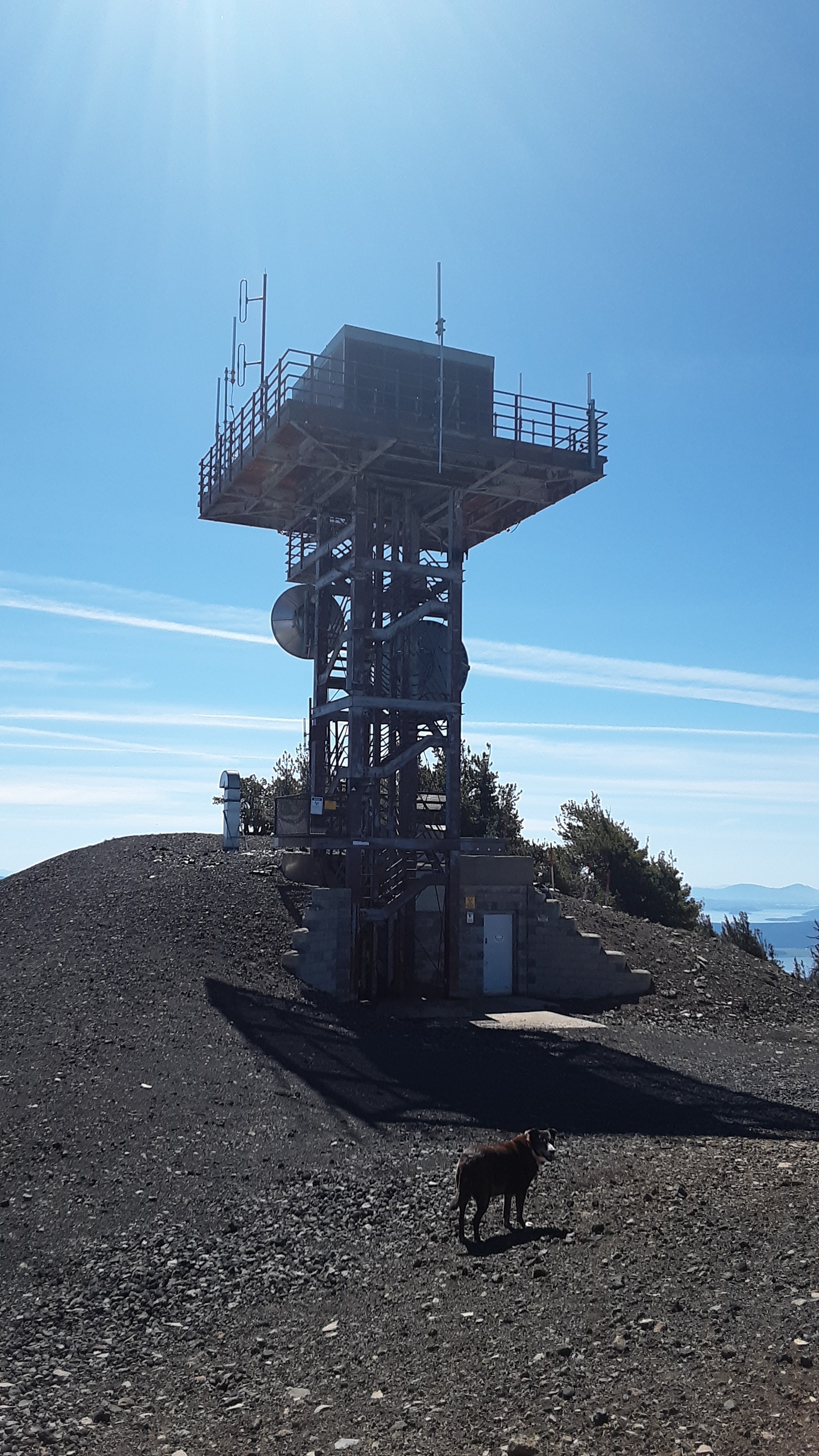
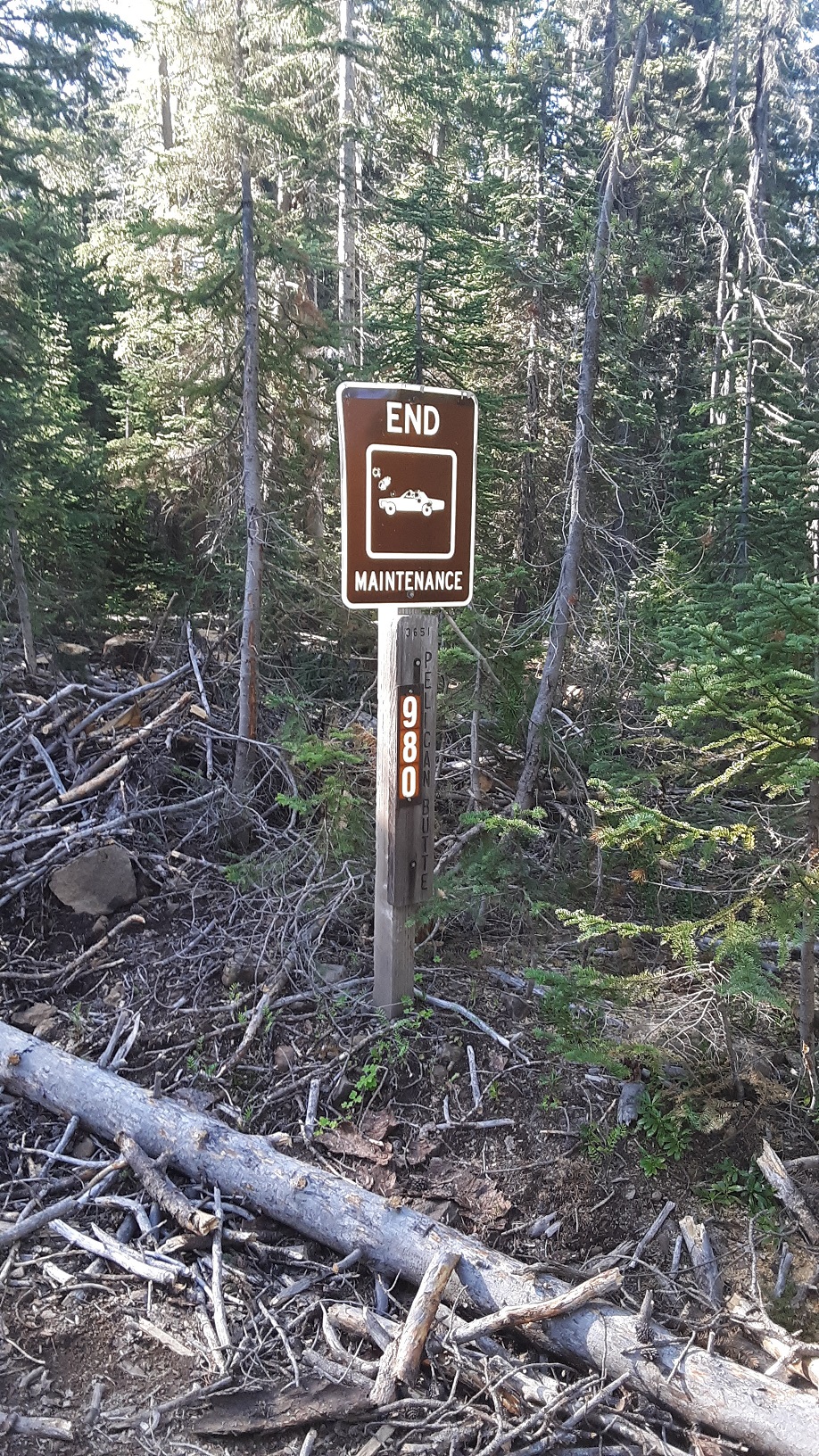
Without snow, this is a drive up summit, however the road is not easy. From 140 you will take FS RD 3651 for about 9 miles following signs for Cold Springs TH. There was a no motorized vehicle sign when I arrived so I called Klamath FS office to confirm it was error and only during the winter months for snowmobile trail. You will turn right on FS RD 980, this is where it gets difficult. This is a 4.5 mile no maintenance rough road. Good tires, high clearance a must. We parks at side of road 1 mile short of summit due to deep snow drifts. There is a tower with a vented underground bunker at summit. A triangulation station of pins just past the tower, walk out and enjoy the view. Plenty of room at the summit to set up and take in a 360 view for many,many miles on a clear day. I set up on a rock mound/ridge with a few stunted trees just before the tower, no interference.
Enjoy this one. I am very surprised it has not been activated more times. de AG7GP/Amy