When I read Etienne’s trip report ( http://www.pnwsota.org/blog/k7atn/2016-march-21/peak-2340-or-march-2016 ), I made a small error in planning my approach to 2340. Instead of “just west of Highway 26 Rest Area” I planned for Olson Road, which is just *east* the Hwy 26 rest area.
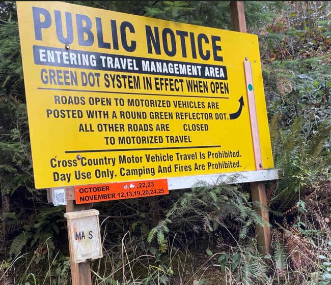
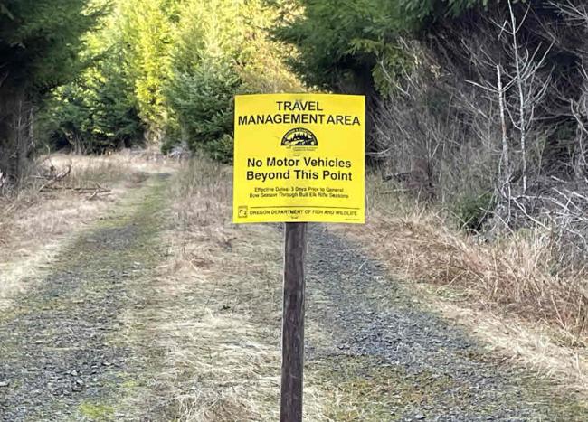
I intended to take Olson Road to a turn off that went up to Sterling Ridge Road. Because it was hunting season, Olson Road was open (see sign at road entrance below). Olson Road is a well-maintained logging access road. My plan was going great until I tried to turn up the access road that connected to Sterling Ridge Road. Although they open Olson Road as the main access road in the Fall, there are signs prohibiting motor vehicles access on the smaller roads.
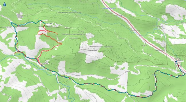
I doubled back and parked at N45.79177° W123.51554° (“P” on the graphic below) and walked up to the summit of 2340. It is a pleasant hike, and it was a gorgeous fall day. The road gently winds nearly all the way to the summit. A short easy bushwhack gets you to the summit proper. It was about 4 miles round trip and 600 feet of vertical. There is a lot of downed wood at the very top, so the footing is a bit tricky, but I found a nice log to sit on for the activation. Summit pics posted to SOTA Atlas (https://sotl.as/summits/W7O/NC-098).
On the GPS track graphic below, light blue is my planned drive and red is my actual route. I explored a possible other access down, but it dead ended, so that is the red track to the right you’ll see dead end.


