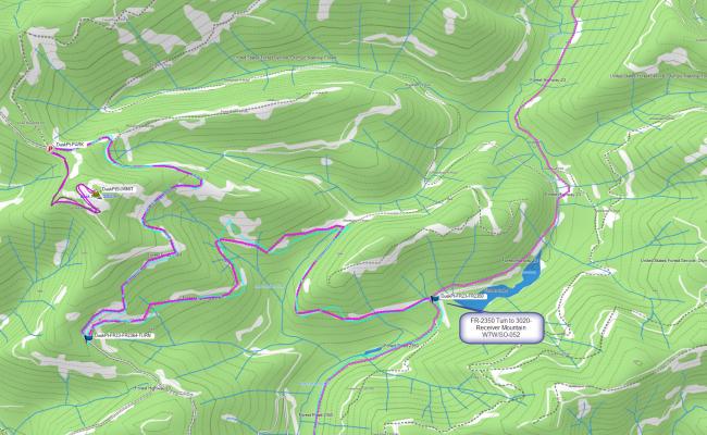
Dusk Point is a 1.8 mile round trip (500 ft vertical) hike off of FR-2364 in the South Olympics. Access is straightforward (once the snow melts!) but FR-2364 does require a high clearance vehicle. The summit is exposed with limited to no shade even though some trees line the perimeter. I did not have any ATT cell service but there is excellent APRS two-way messaging to enable spotting.
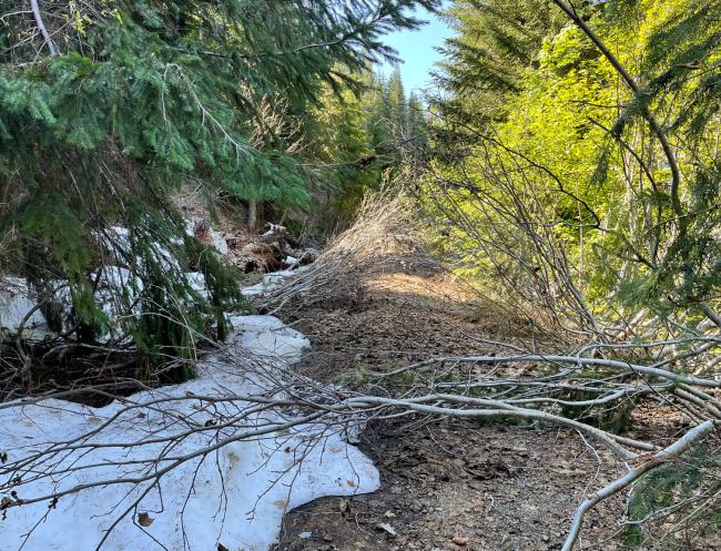
I hiked to the summit via FR-2364-080 which is a small ATV road. It was just after the snow had melted and many saplings were across the road. It looks like the ATV/4WD crowd keeps this road free of blowdown so later in summer, you might be able to just drive up.
I drove from Shelton, WA from the south and took FR23 all the way to the intersection with FR-2364 at N47.40192° W123.47008°. It is a sharp hairpin-three-point-turn.
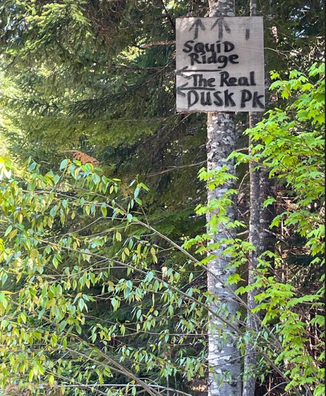
Drive to N47.41455° W123.47446° and park. You will see a sign way up in a tree that says “The Real Dusk Pk” with an arrow (see picture below). The sign was probably put there because if you are using Google Maps, it will tell you to continue straight at this point!
I was able to get some 2M FM contacts, but YMMV, maybe plan on HF as well.
I drove back via FR-2350 and activated 3020-Receiver Mountain (W7W/SO-052) and I posted a trip report for that as well.


