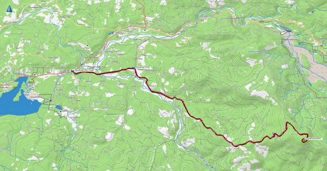
Signal Peak is a 12.7 mile Priusable drive up with some pot holes that are easily navigated. It does not need a Weyerhaeuser permit for access. Although you traverse through Weyerhaeuser land, the road you take is designed as a “Public Access Corridor” to the state forest where the Signal Peak summit is located.
Take I5 to Hwy 504 and head towards Toutle. At South Toutle Road (N46.32454° W122.73233°) turn right and then at (N46.32926° W122.68078°) Road 4100 take a shallow right turn. The road turns to gravel here. Follow this through the Weyerhaeuser property. It then seemlessly turns into state forest roads. No gates on the main road.
See also http://willhiteweb.com/washington_fire_lookouts/signal_peak_lookout/toutle_mountain_247.htm
There must be an ATT cell tower on the summit because I had full bars 5G service. I set up in the small trees near the towers and had no RFI on HF. No contacts on 2M.


