Summit:
W7O/CS-054
Voice Cellular Coverage:
Good, very usable
Data Cellular Coverage:
Good, very usable
Cellular Provider:
AT&T
APRS Coverage:
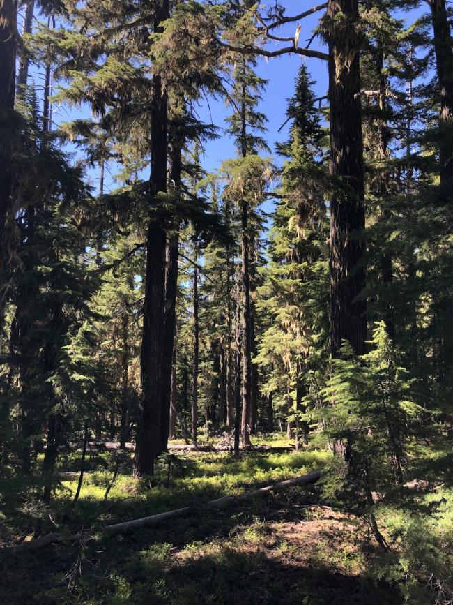
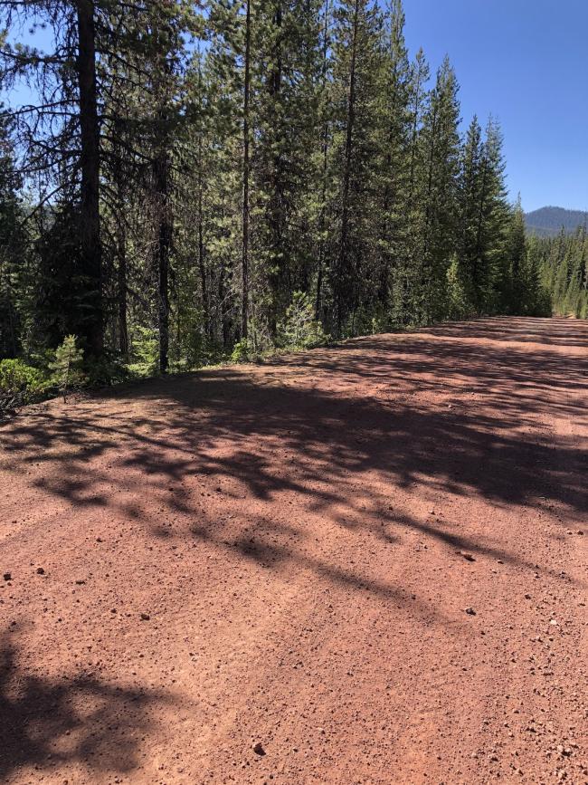
Don't know - FS 60 will get you within 1 mile of the summit. The 1412 spur can be used to get 0.17 miles closer, but after that it has 2-3 foot berms that can only be passed by foot or vehicles with high clearance. The PCT can be used from FS 60 for 0.75 miles to get to a good start for bushwhacking. The northeast side of the butte has the most gradual slope to the summit, and offers easy bushwacking with thin trees and sparse undergrowth. From the PCT, it's 0.30 miles to the summit, with 448 feet of elevation gain.
- Summit consists of a rounded, slightly sloped, open area with some mostly burned out trees, and thin forest along the eastern edge, offering minimal shade. I operated in a tiny patch of shade, as close to the top as I could get, and had to keep moving to stay with the shade.
- This area is significantly warmer and dryer than the area 5-10 miles west, so I recommend bringing extra water. There's a water depot for PCT hikers where the trail intersects FS 60, which could be used in an emergency. There aren't any natural water sources on or in the immediate area of Windigo Butte.
- There are several summits in the area to make it a two- or three-summit day, two of which lie on the PCT, 3-4 miles to the north and south.


