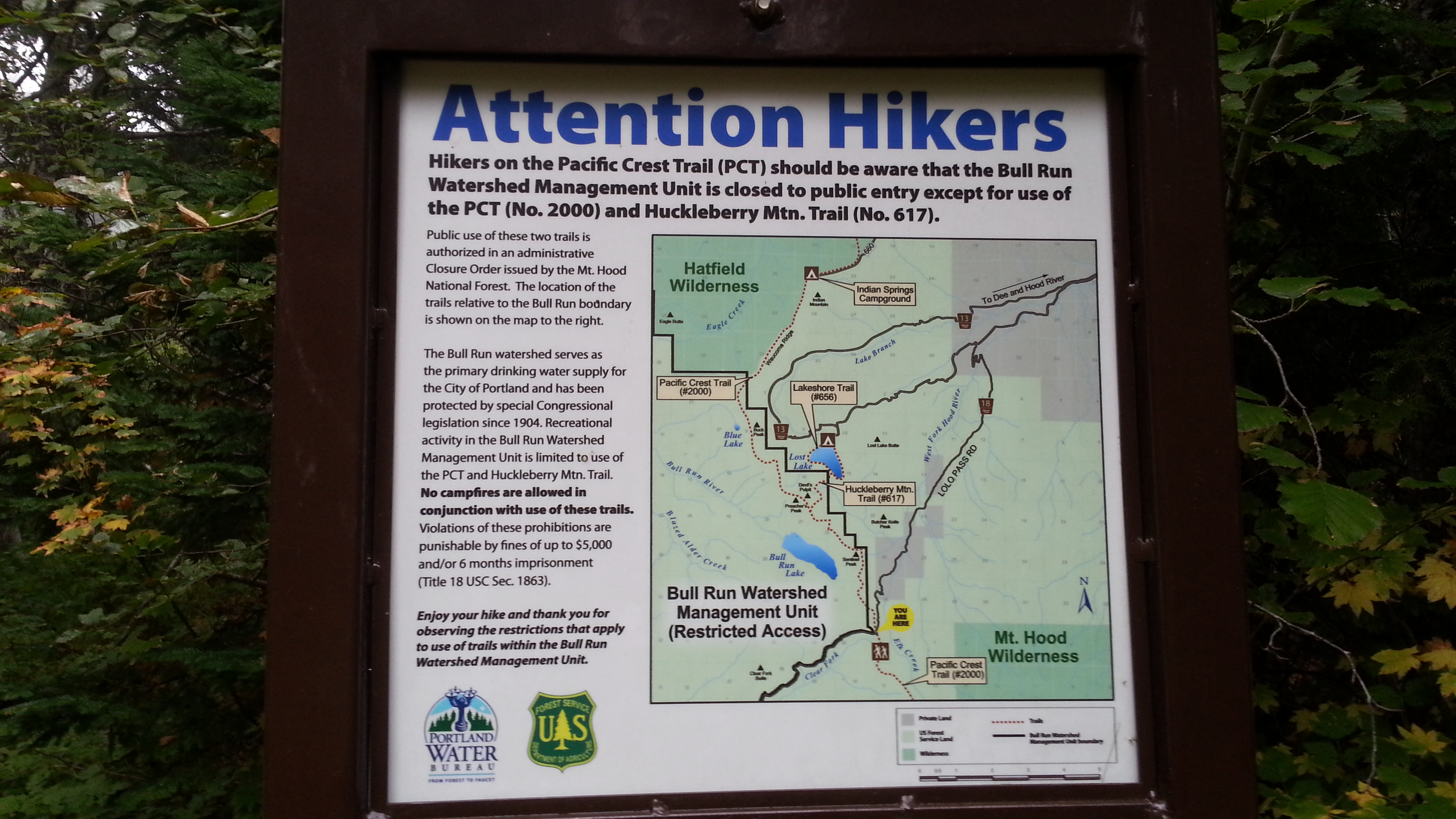
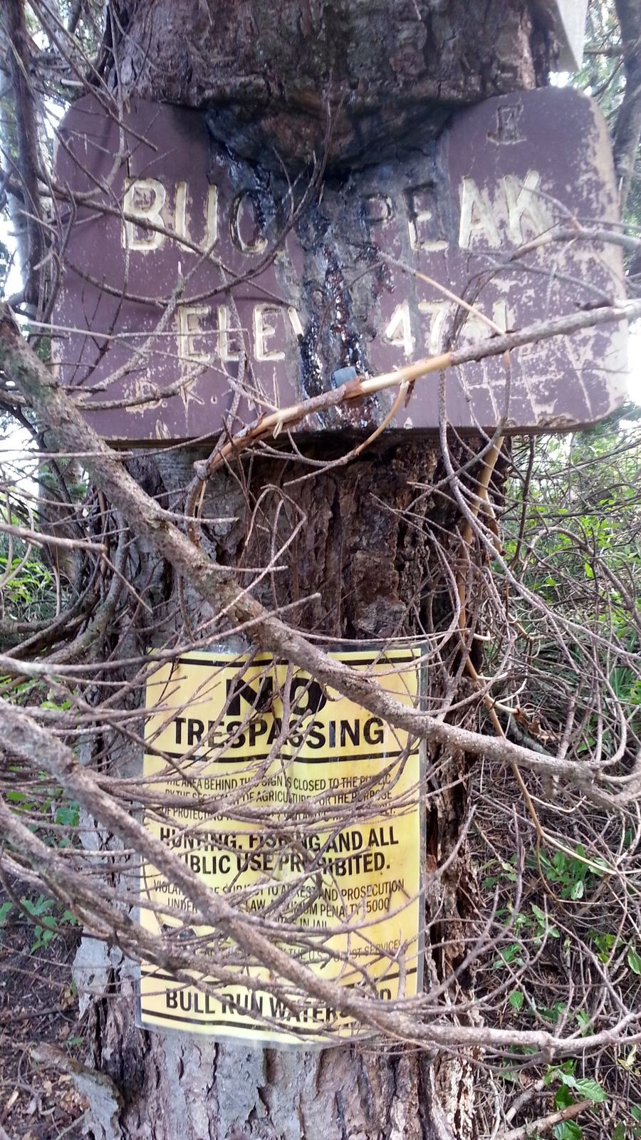
Sixteen miles of roundtrip hiking, even on a nice bit of the PCT, is a long way to go for two points, but it might the easiest way to get to Buck Peak and it's a lovely hike just the same. This is the high point of Multnomah County and you pass through the Bull Run Watershed Management Unit (BRWMU) to get there (see Bull Run Watershed).
Note that Google Earth does not show the correct alignment for the Pacific Crest Trail (PCT) - you should use a topo map for this purpose. Contrary to what you see, the PCT does not provide access to Hiyu Mountain or Sentinel Peak that are also within the BRWMU.
We were North Bound and started from Lolo Pass and hiked the Pacific Crest Trail, #2000. From the Portland area drive Highway 26 about 30 miles to ZigZag and turn left on East Lolo Pass Road. Follow this 10.6 miles to the trailhead at about 3400 feet - see Lolo Pass Trailhead (45.42692 -121.79645).
An alternative route would be to hike from Lost Lake and use the Huckleberry Mountain Trail #617 to connect to the Pacific Crest Trail. It involves more driving and more elevation gain and it may not take any less time.
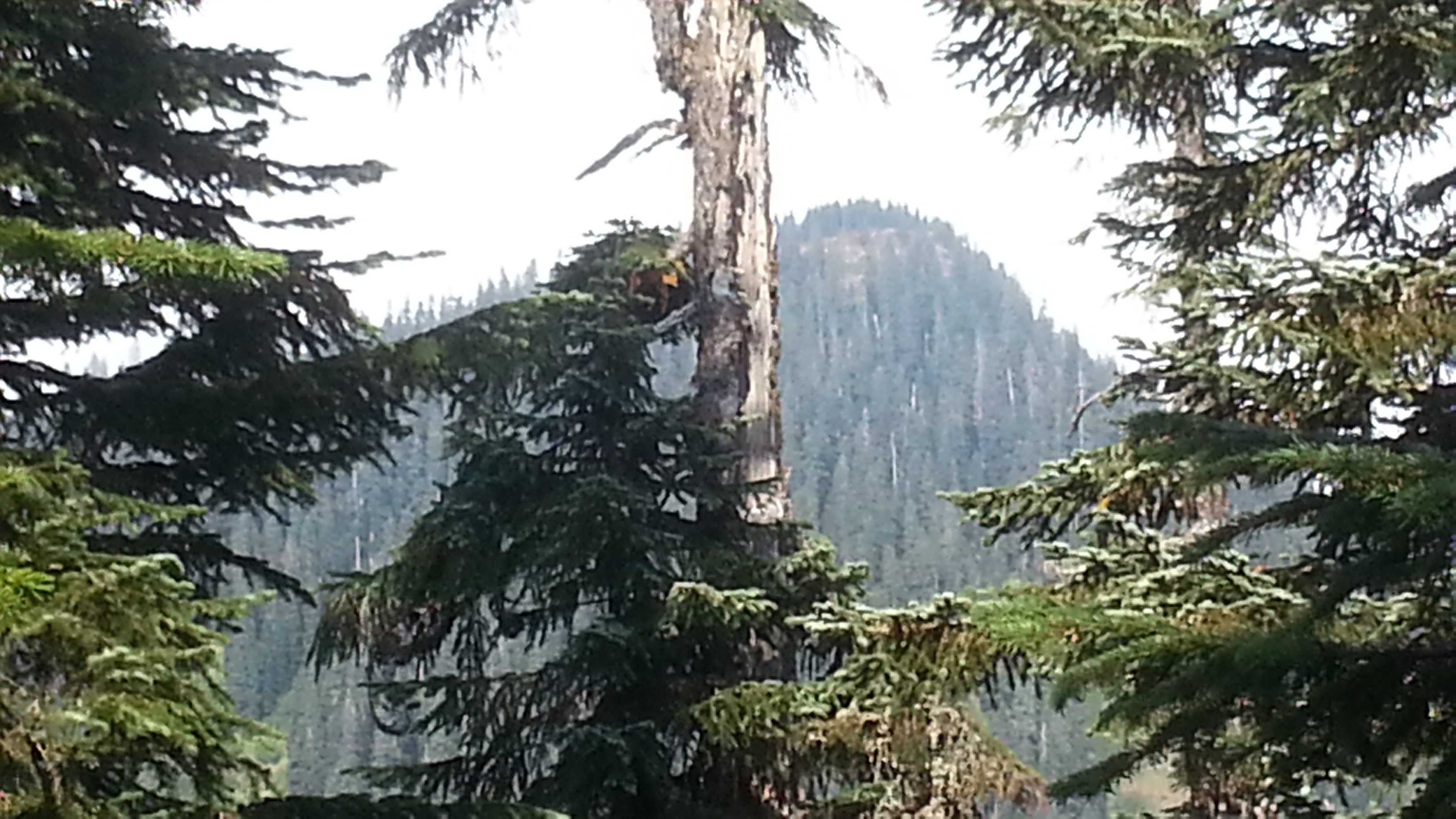
The turn from the PCT to Buck Peak Trail #615 is not marked. The summit itself is small and I needed to string my EFHW along the trail itself at the summit. If the weather is good the views of Mount Hood and environs will be outstanding. In 2021 there were many blowdowns across the PCT and one in particular across the Buck Peak Trail almost had us turn around.