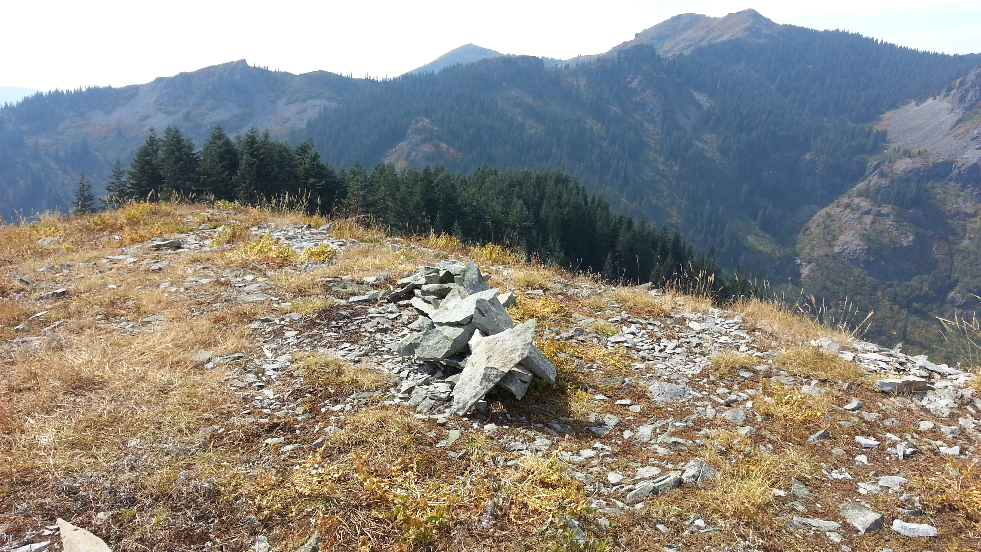
The trail is called the "Starway Trail" but it could be better named the "Stairway Trail" as it is one of the steepest trails I have ever hiked - but the views from the top are worth it. And then, the peak should also have the SOTA vanity name, "Starway." The elevation gain is in the order of 2400 feet in just over two miles and pretty much relentlessly climbs for the first half of the hike. Note that this peak can also be approached from Silver Star (from the south) with less elevation gain, although the trail is a bit faint in places.
This summit is also accessable from Silver Star from the south- from the Silver Star trail go east at the junction with Ed's Trail and Trail 172. Go 0.8 miles on 172, and then turn north on Trail 175. Trail 175 can be faint in places and is quite steep - it's a Stairway from either side.
To find this summit elsewhere, you’d need to use its geographic designation of Peak or Point 3977. I came from the west side, through Battleground, Washington. The directions below are for access from the north. Note that the Forest Service roads described here are only suitable for high clearance vehicles.
- From Vancouver, go north on 503 (NE Lewisville Hwy) past Battleground about 5.6 miles.
- Turn right (east) onto NE 152 Ave/Rock Creek Rd.
- Continue as the road curves south then east and becomes Lucia Falls Rd.
- After 8.6 miles, turn right on Sunset Falls Rd.
- Go 7.3 miles on Sunset Falls Rd to Sunset Campground.
- Turn right into the campground and cross the East Fork Lewis River on Forest Road 41.
- FR 41 continues uphill to the left after the bridge; follow this 3.5 miles to the unmarked sharp right turn for Silver Star FR 4109 (this is only used as a landmark but think about a double activation).
- About a half mile past the turn to FR 4109 there is a (hopefully open) gate with a road dropping down to the right. The road is very rough past this point. This road is not on Google Maps but can be seen in satellite photos.
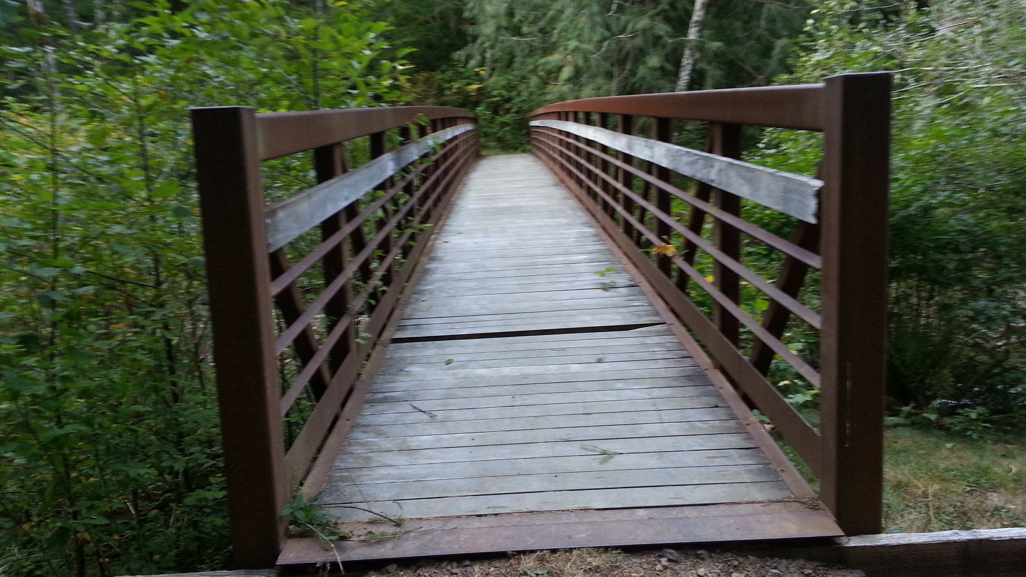
- Some directions suggest that this gated road is part of the trail – however, there is no place to park at the top on FR 41. After about one-half mile the road ends and you will find a small parking area, a campsite, and a bridge across Copper Creek.
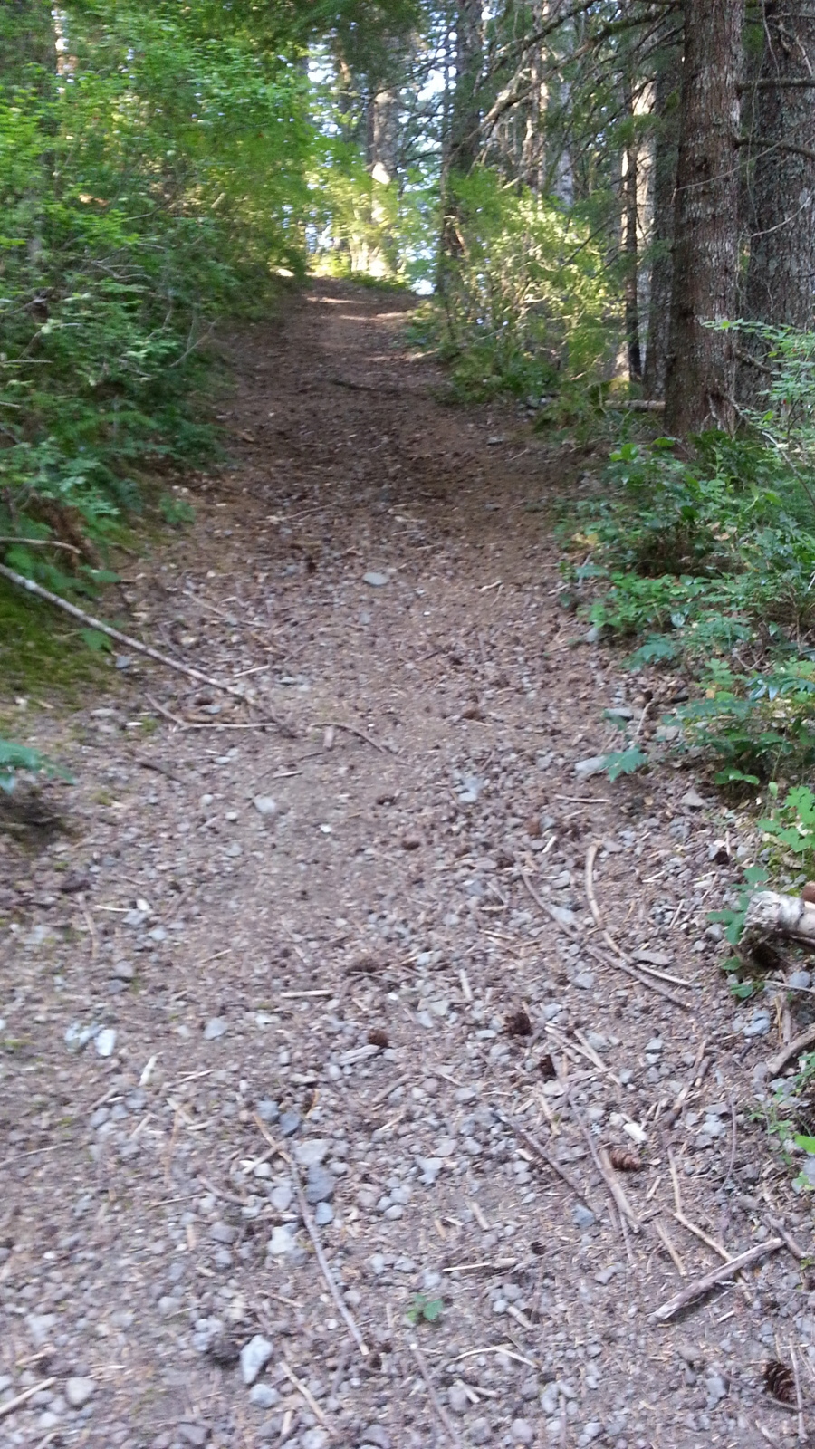
Start your hike across the bridge, turning left. After about a quarter mile, turn up the cat track to the right. The trail is easy to follow for the first half of the hike and very steep. When it tops out on the ridge it becomes a bit feral with flagging tape showing the way.
The summit itself is a rocky knob with small trees on the north side to help support antennas. The views down into the Star Creek drainage and towards Silver Star are spectacular.
A map of trails in the area can be found here: http://www.fs.usda.gov/Internet/FSE_MEDIA/stelprdb5160926.pdf. Peak 3977 is located about where "175" appears on that map.
https://www.fs.usda.gov/recarea/giffordpinchot/recarea/?recid=31658