Along this trail I observed the largest spruce trees I've seen in Oregon - the trail is nearly a perfect picture of the Oregon coastal rain forest. That being said, there are no expansive views, no place for your antenna, and no place to sit...but it is an nice hike on the Oregon coast and close to Highway 101.
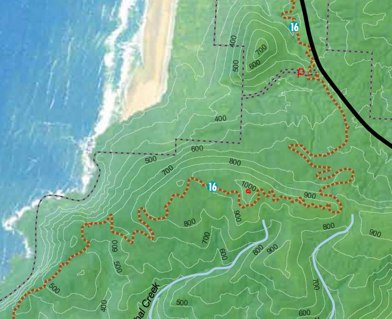
From the junction of Highway 26 and 101, go south 12.3 miles to Falcon Cove Road near Milepost 37. A short distance down Falcon Cove Road there is a pullout for two or three cars on the left - this is where the Oregon Coast Trail crosses. On the map below a P indicates the parking and the summit is indicated with a red dot.
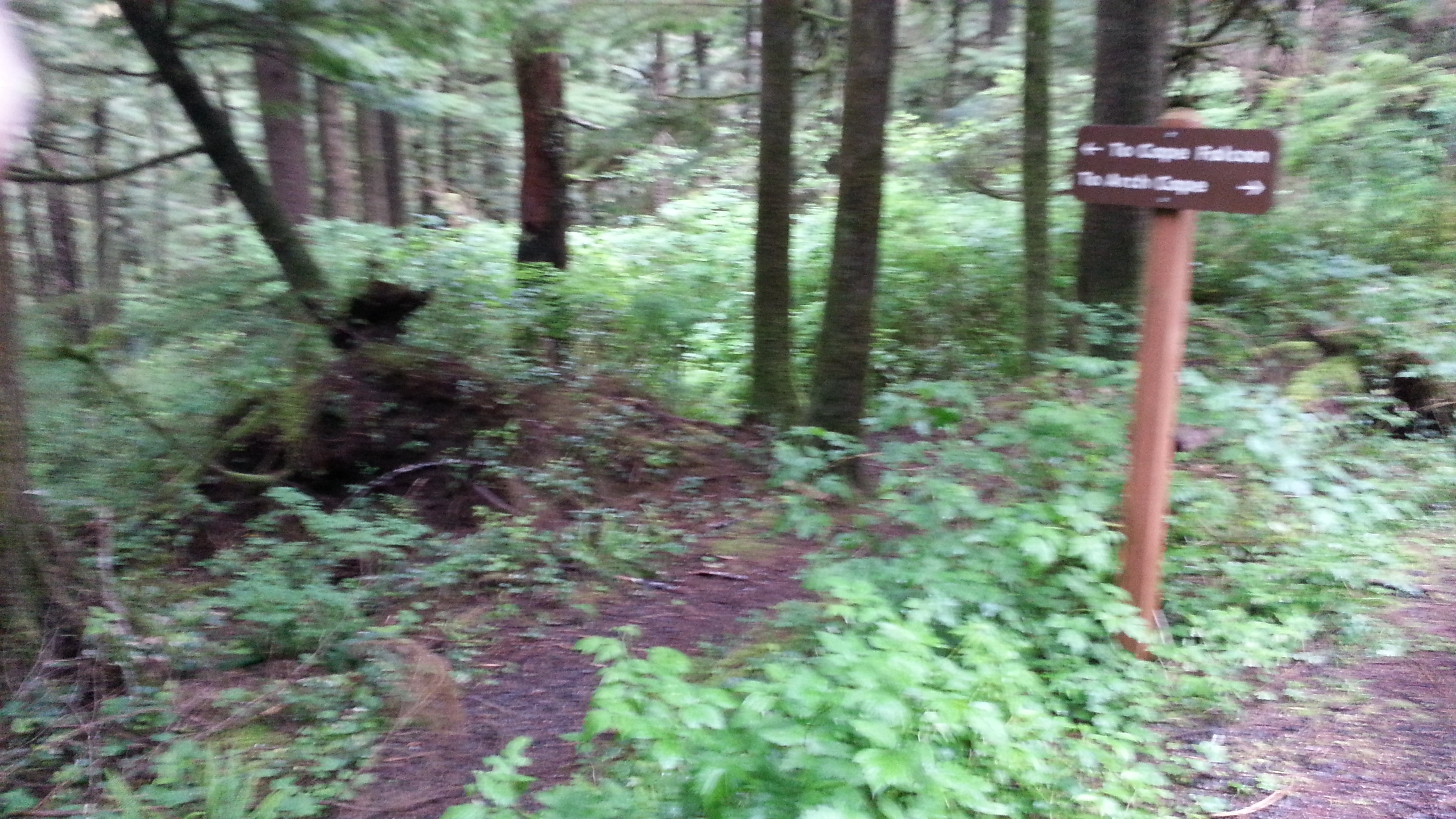
Take the Cape Falcon Trail to the south - about 1.8 miles and 500 feet of gain will get you into the activation zone according to "One Night Wilderness Portland" that describes the high point of this trail at 985 feet. If it works through the thick forest canopy, a GPS might indicate that you were within about 200 feet of the summit. The summit proper is inaccessible without very difficult bushwacking - I activated from the trail. The trail may also about the only place to put up an antenna - I used a vertical. I experienced pretty dismal propagation and took an hour for six QSO, all on 20m.
The trail can be quite muddy during the 'damp' season - thing good footgear if you are there between late September and late June.
You can find a park brochure and map here: http://www.oregonstateparks.org/index.cfm?do=main.loadFile&load=_siteFi…