There are at least four trails that approach the summit of Big Huckleberry Mountain - we choose the Pacific Crest Trail from the south for about 8.6 miles round trip and 1400 feet of net elevation gain (1900 total).
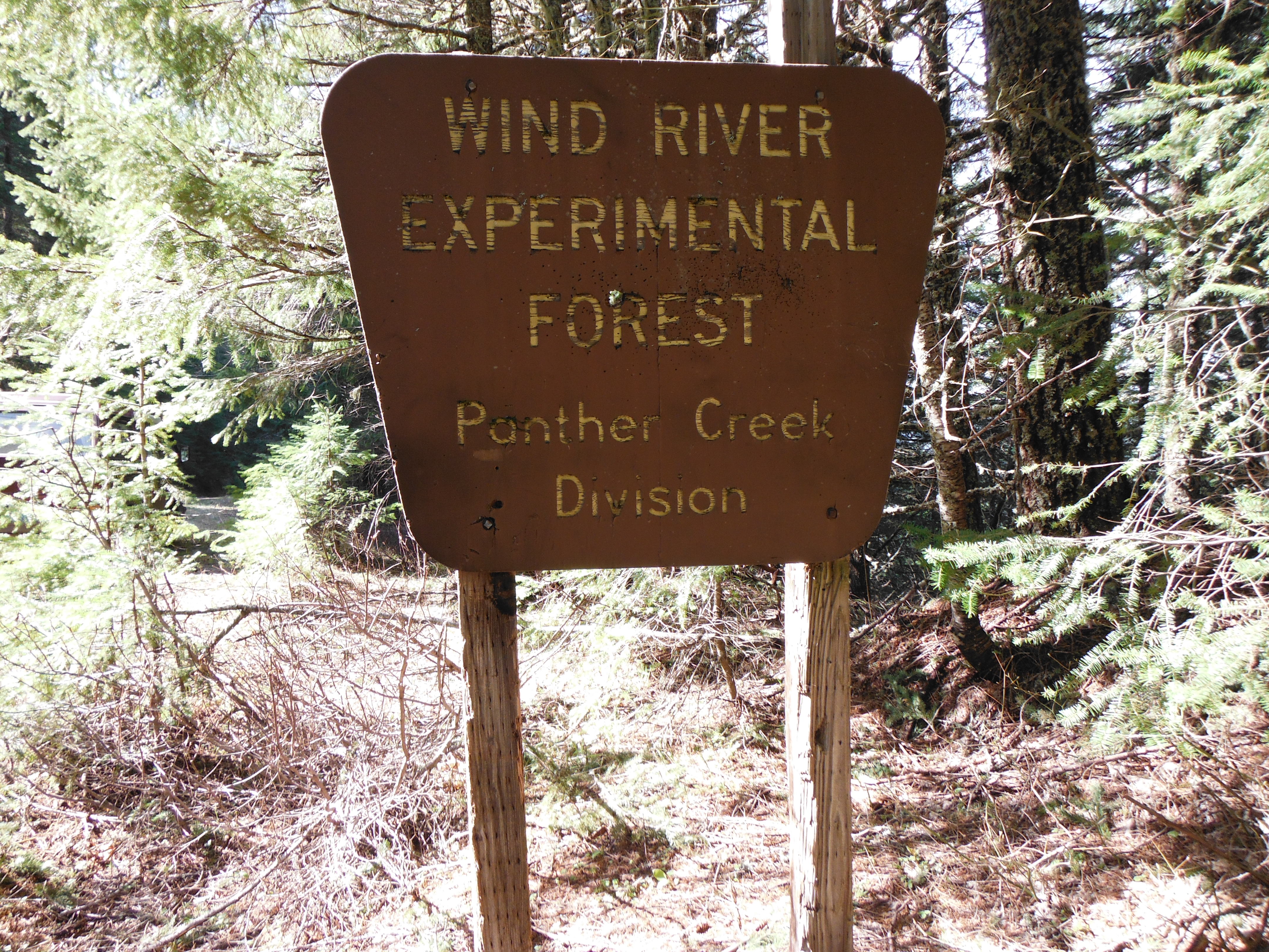
From Portland, take I-84 to Cascade Locks and cross the river for two dollars (2019 price). Or take Washington 14 out from Vancouver past the Bridge of the Gods, through Stevenson (excellent taqueria on Russell Avenue for after activation!) and continue east on 14 to turn north towards Carson about four miles past Stevenson. After 5.7 miles on this Wind River Highway, turn right on Old State (you may see Old State earlier - turn at the second) and look for Panther Creek Road and turn turn left after just 1/10 mile. Panther Creek Road will turn into Road 65 and you'll head north on this paved forest road about 4.7 miles to a junction with Road 68. Make a SHARP right turn and continue about 2.1 miles and turn right at a T to stay on Road 68. From here continue about 2.2 miles until you might see the crossing for the Pacific Crest Trail - it's not signed but there is a wide spot on the road and there is a sign facing the other way for Wind River Experimental Forest - the trailhead is by this sign (45.828170° -121.835663°).
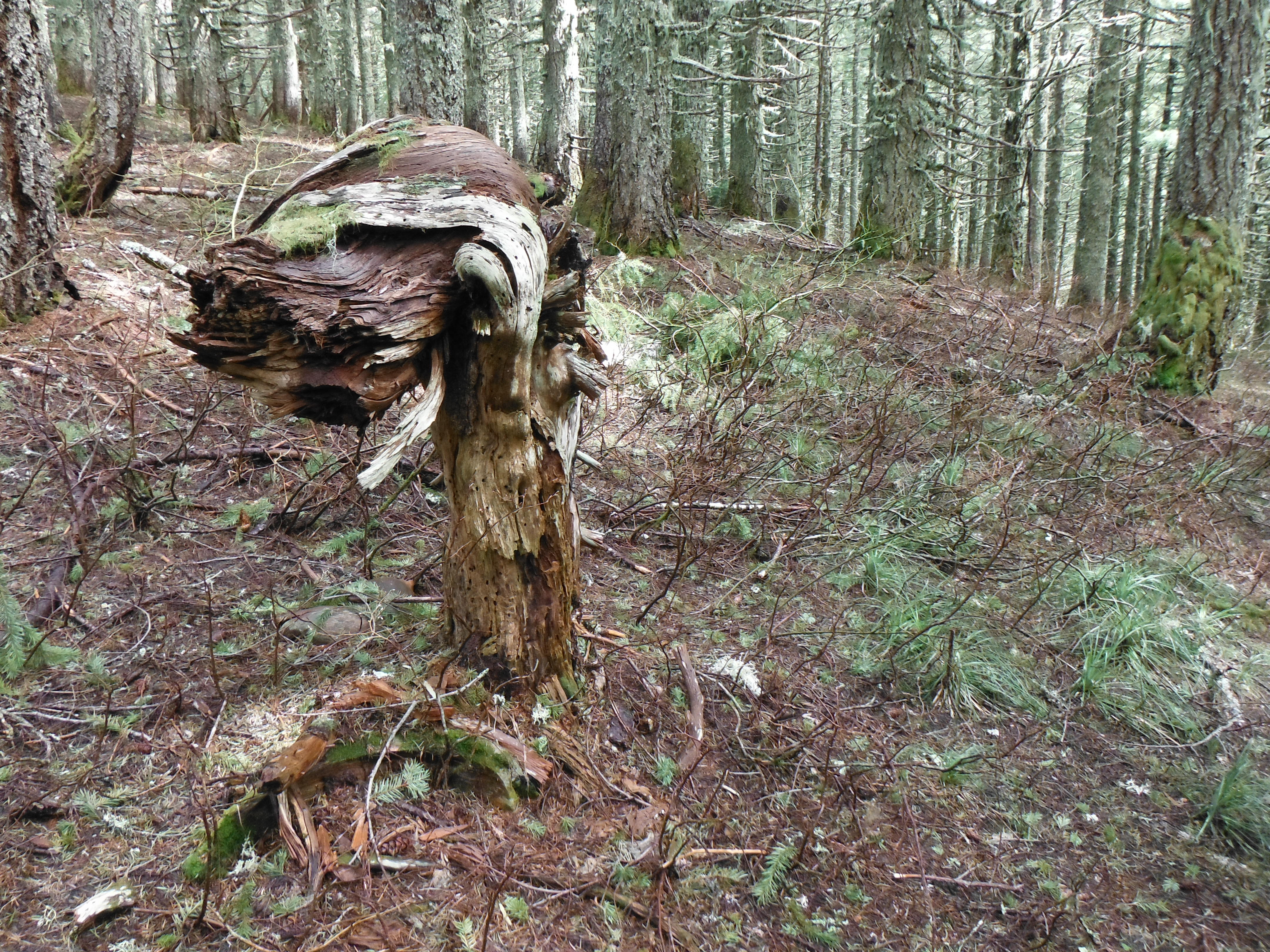
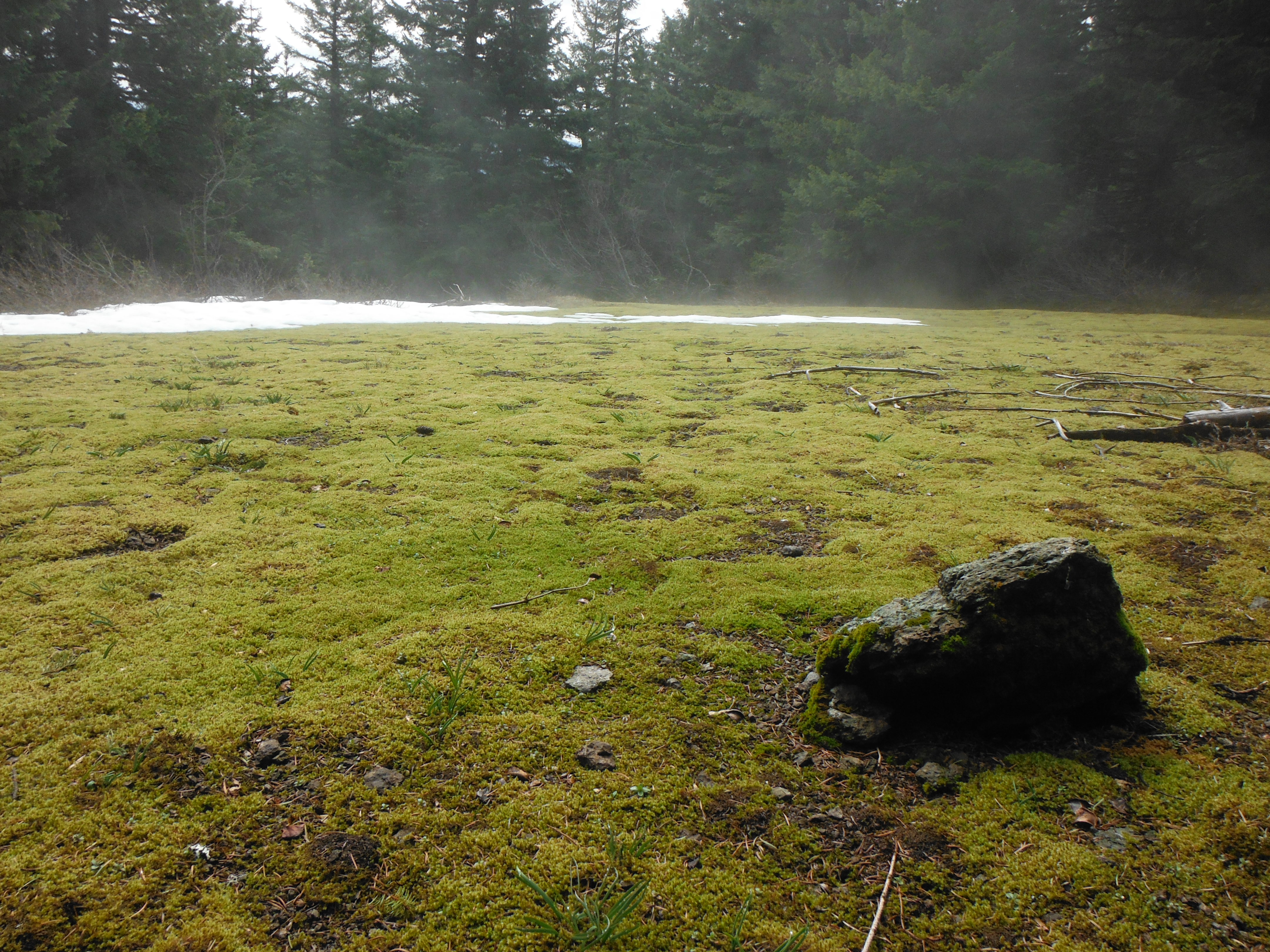
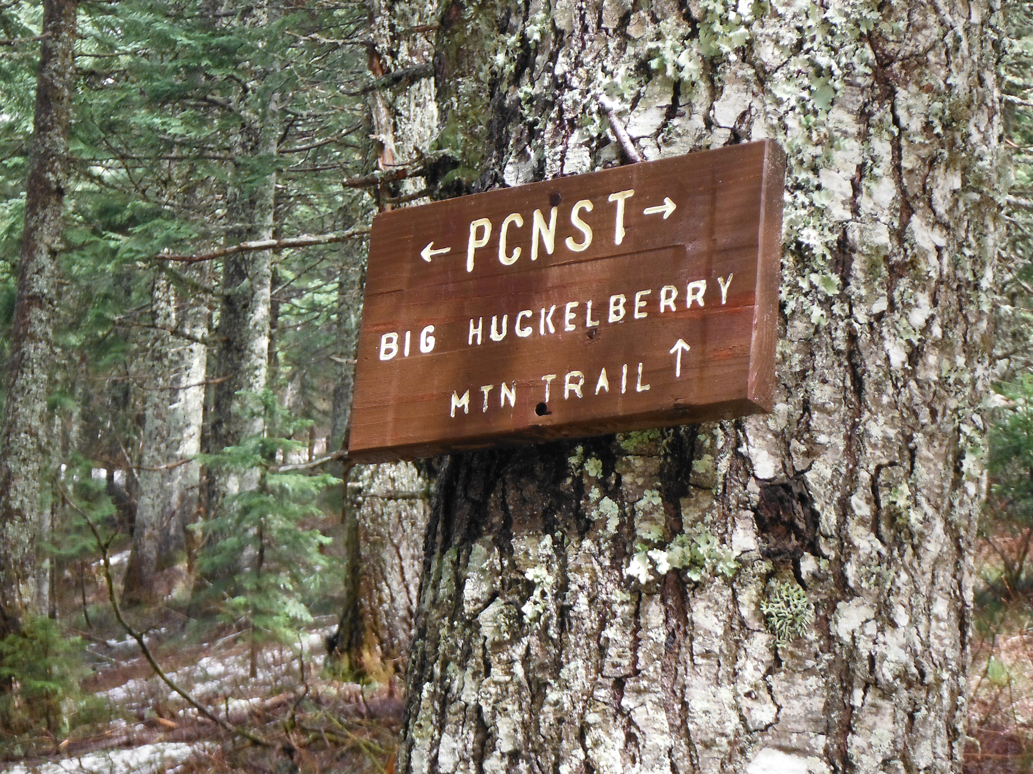
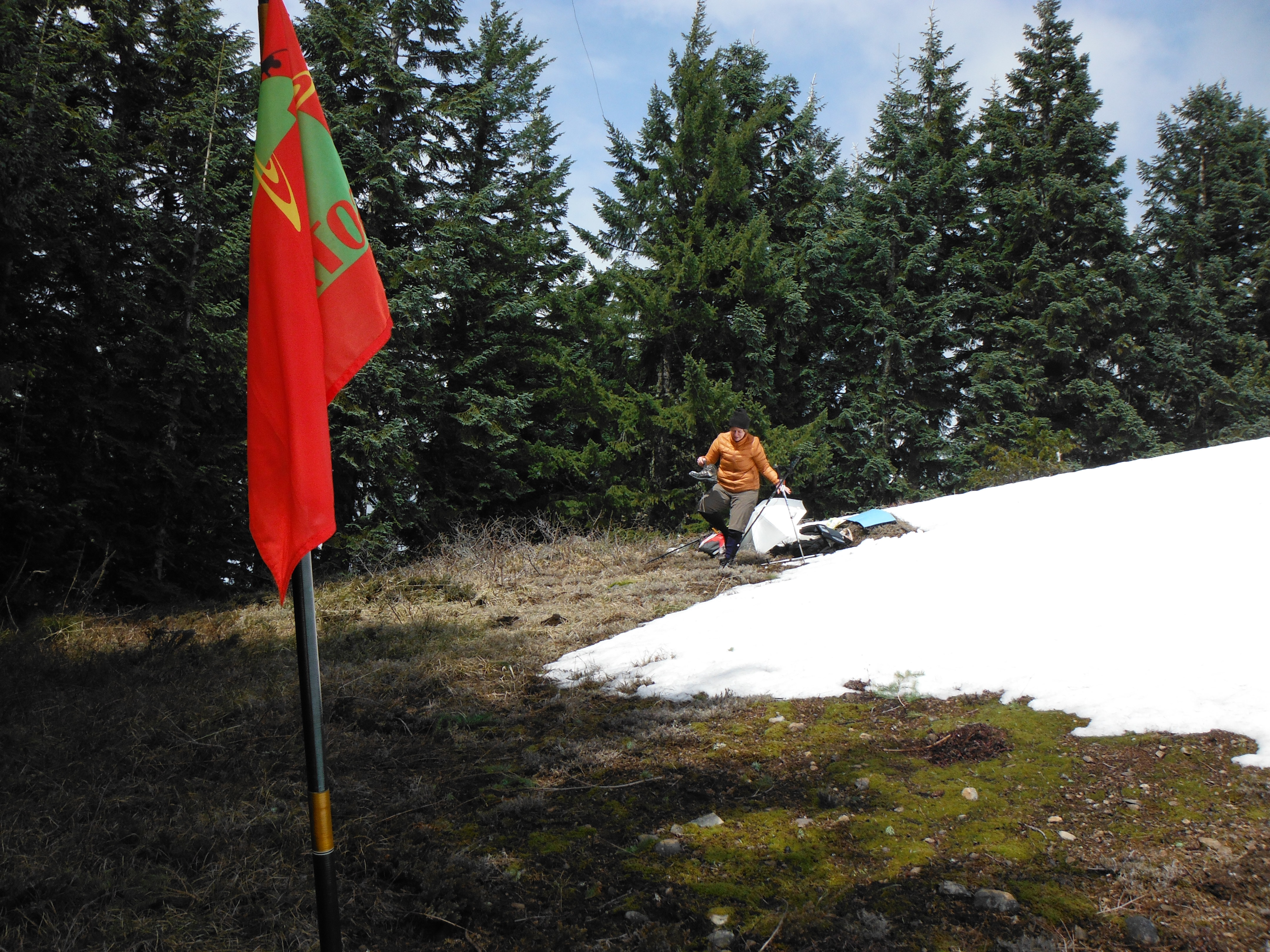
The Pacific Crest Trail wanders through some very lovely woods, with a mostly gentle grade up over the 4.3 miles to the summit. You'll see two other trails joining the PCT - the Cedar Creek Trail and the Grassy Knoll Trail close to the summit - these are alternative routes (but the trailheads may be difficult to reach). Less than a quarter mile from the summit there's a junction for the Big Huckleberry trail to the summit. Plenty of trees for antennas here and no doubt views on a nice day. See this for more information but not such great directions: http://www.portlandhikersfieldguide.org/wiki/Big_Huckleberry_Mountain_Hike.
You might also consider nearby Red Mountain-W7W/LC-036: http://www.pnwsota.org/node/370.