Highway 12 between Morton and Yakima is out of the way, but a scenic delight. If you find yourself driving through, this is a nice summit to activate. There are a number of other summits in this area - several of which appear to require significant rock climbing skills but this one is a straightforward hike.
Travel on Highway 12 between Packwood and Naches to the Clear Lake Recreation Area. It's about 27 miles from Packwood to the turnoff, or 31.5 miles from Naches. This road is called Tieton Reservoir Road, but I didn't see a sign with that name (intersection near 46.643740° -121.257828°). It's on the west side of Clear Lake. On this paved road travel 3.0 miles to a right turn to road 1200530 and continue on well graded gravel 4.3 miles to the trailhead for Trail #1144 (trailhead near 46.636137° -121.302519°).
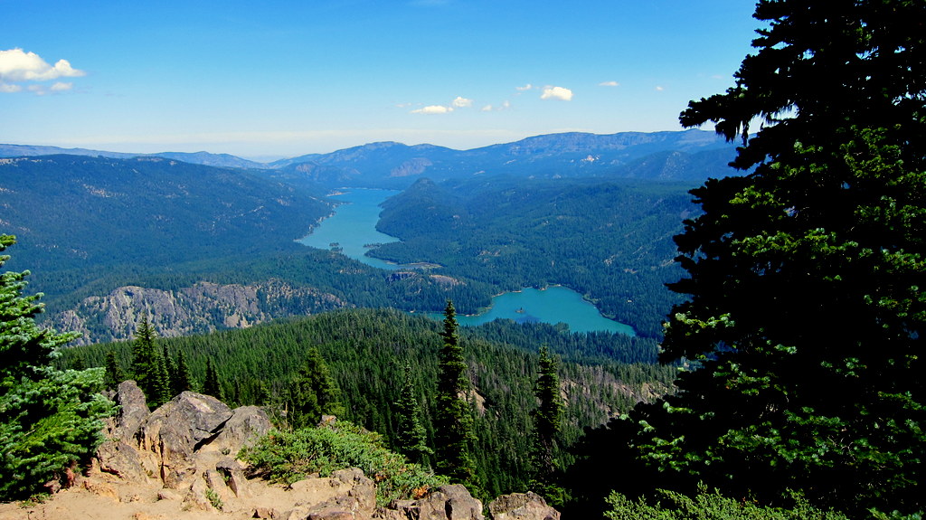
The trailhead has a self-issuing wilderness permit kiosk and the trail covers about 3.5 miles (one way) and gains 1700 feet to the summit. The views are great from here - with the foundations of the lookout and places to sit in the sun or the shade.