Turtleback Mountain is a lovely forest hike with a nice summit spot for activating. Along with Mounts Constitution and Pickett, it is one of three publicly accessible summits on Orcas Island, Washington.
First get yourself to Orcas Island. Most will take the Washington State Ferry from Anacortes, Washington. For your planning purposes, note that ferry schedules change seasonally. The North Trailhead is perhaps the easier access - here directions with more information available in the links below.
Directions to the North Trailhead from the Orcas ferry landing:
Take Orcas Road 3.4 miles to the intersection with Nordstrom Lane. Turn left and travel west to the intersection with Crow Valley Road at 4.0 miles. Turn right and travel north. At 5.7 miles from start, a sign directs to a gravel drive and parking on the left.
Directions to the North Trailhead from Eastsound Village:
Take Orcas Road 1.1 miles to Fowler’s Corner and the intersection with Crow Valley Road. Keep right on Crow Valley Road. At 2.6 miles from start, a sign directs to a gravel drive and parking on the right, immediately past the Crow Valley Schoolhouse Museum.
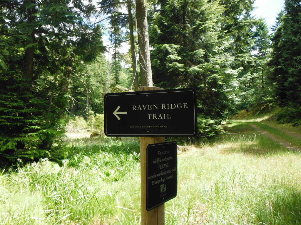
From the North Trailhead, hike the forest road 1.5 miles to a signed junction for the Waldron Overlook and Turtlehead Trail. (Don't be confused by anything called "Turtlehead" - that's not the summit.) Continue up the forest road 0.7 miles to head left on the Raven Ridge Trail - another forest road. This eventually will turn into a single track heading up to the summit after about another mile.
Other links:
http://www.sjclandbank.org/images_orcas/Turtleback/Turtleback_map.pdf