Here's a 1.1 mile one-way hike with 800 feet of gain just a ways south of Bend, Oregon. It's got some great views and a nice summit with a bit of lookout history. They say Pistol Butte was named after Pistol Pete who once lived in the area.
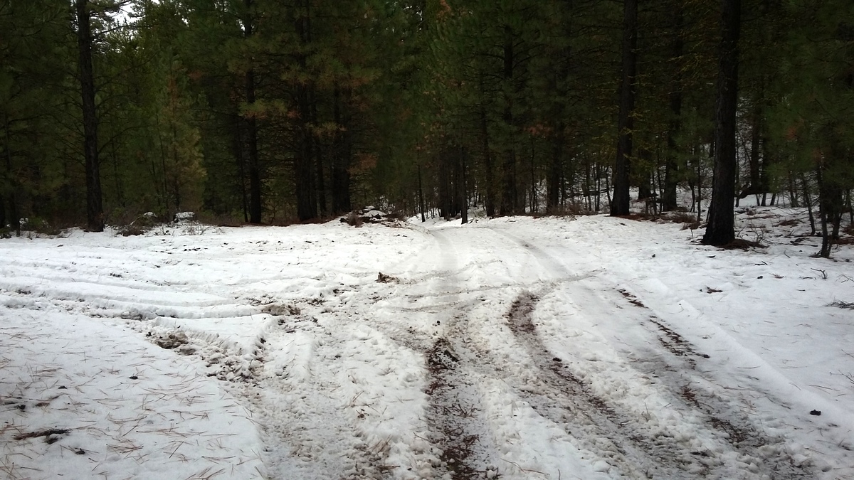
From Bend head south to Vandervert Road and make your way to South Century Drive. Turn north on FR-4032 and go one mile to 43.817882° -121.569362° where there will be an unmarked track heading east. This track is likely suitable for serious high clearance vehicles and since you'll be leaving this track after after less than half a mile and there doesn't seem to be anywhere to pull over to park, perhaps best to leave the car here. There may be ATV or snowmachne traffic on these roads in their season but I encountered no one on this early December Saturday.
Keep heading east and just short of half a mile on this road it will start downward where another road comes in from the left. You will turn south here (43.820269° -121.562186°) and follow an unmarked trail that eventually will become steep as it heads directly towards the summit. After about 0.45 miles near 43.816193° -121.557343° you'll cross a ridge and join a road-like trail or a trail-like road for 0.22 miles or so. This will take you generally to the south to the summit proper. These trails may be used by downhill mountain bikes.
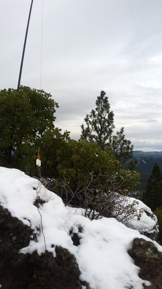
There are great views from the short summit pinnacle and the foundations of the former lookout make a good place to perch yourself and your gear - or use the trees around the edge of the summit for antennas - the AZ is a good sized area.