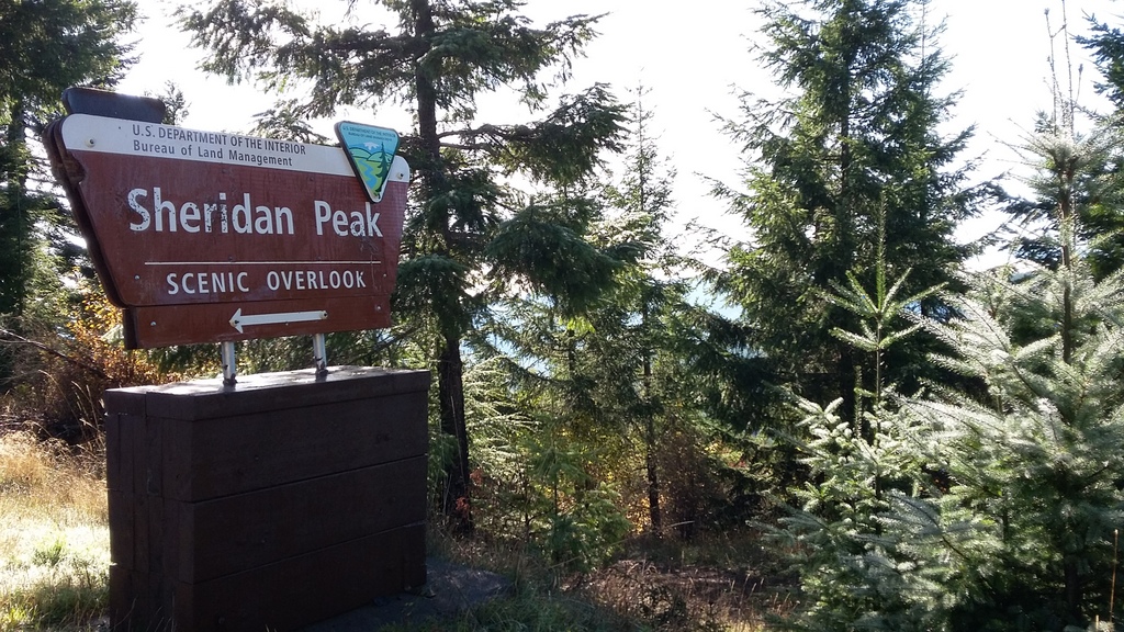
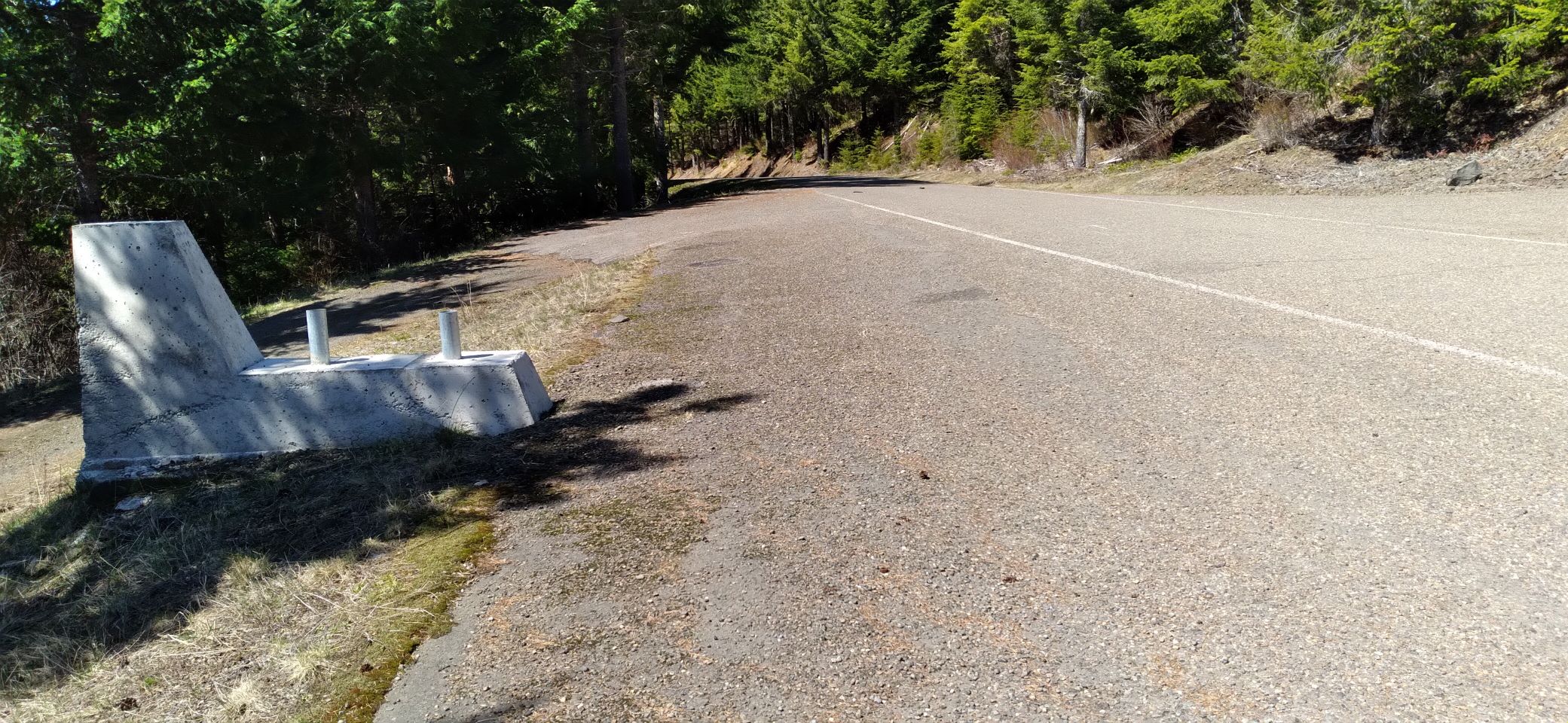
Sheridan Peak is on the east side of the coast range, about 23 miles from Carlton, Oregon. Carlton itself is quite out of the way, being about 12 miles east of Newberg. But it's a nice short hike of about half a mile through some nice second growth woods, and the road is paved the whole way! (I.e.: if your GPS takes you to gravel, it's not the right way...)
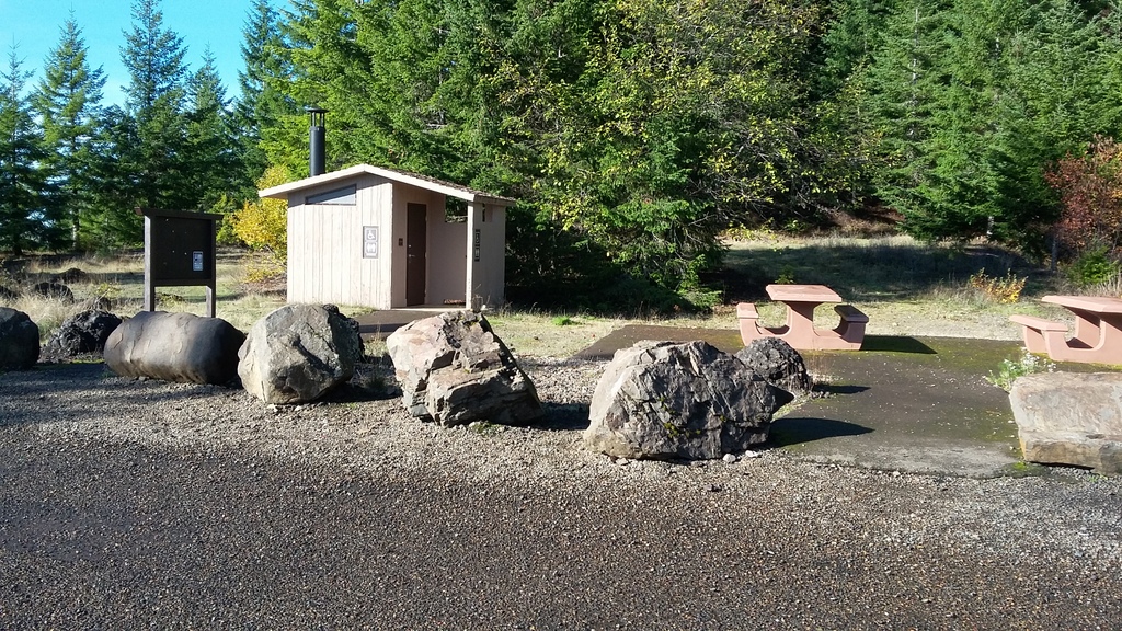
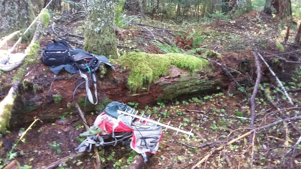
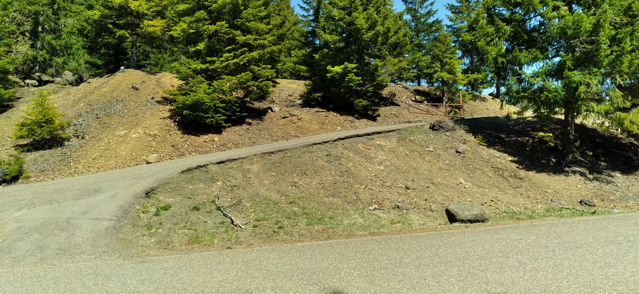
From Carlton, take NW Meadowlake Rd and NW Nestucca Access Rd to a left turn onto Bald Mountain Access Rd after 16.8 miles. The road is paved and was obvious, but your GPS might suggest that you'll go on NW Bald Mountain Access Rd for 3.6 miles and then continue on Bald Mountain Access Rd for 2.6 miles. The parking area is up to your right and you'll find a vault toilet and picnic area. The sign pointing to the "Overlook" is no longer there in 2021. Behind the privy you'll find an 'abandoned' track heading up towards the right. This former road continues about 0.35 miles to the summit. There are some substantial downed trees across this track and finding the activation zone and summit and...the route back to your car...may not be particularly clear without a GPS. I found a log to set my equipment on and set up for VHF/UHF and HF. Conditions were decent and 15 QSOs were made on two HF bands and a couple on 2m FM.