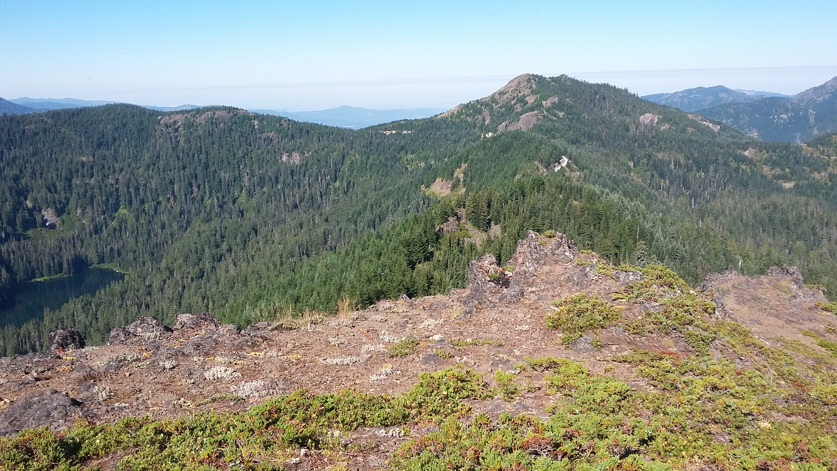
Just north of Detroit, Oregon are a nice bunch of summits - Dome Rock is especially good. The Tumble Ridge Trail takes you to Dome Rock on a pleasant forest hike of only about 1.5 miles and 500 feet total gain. The summit is a wide open former lookout site with great views.
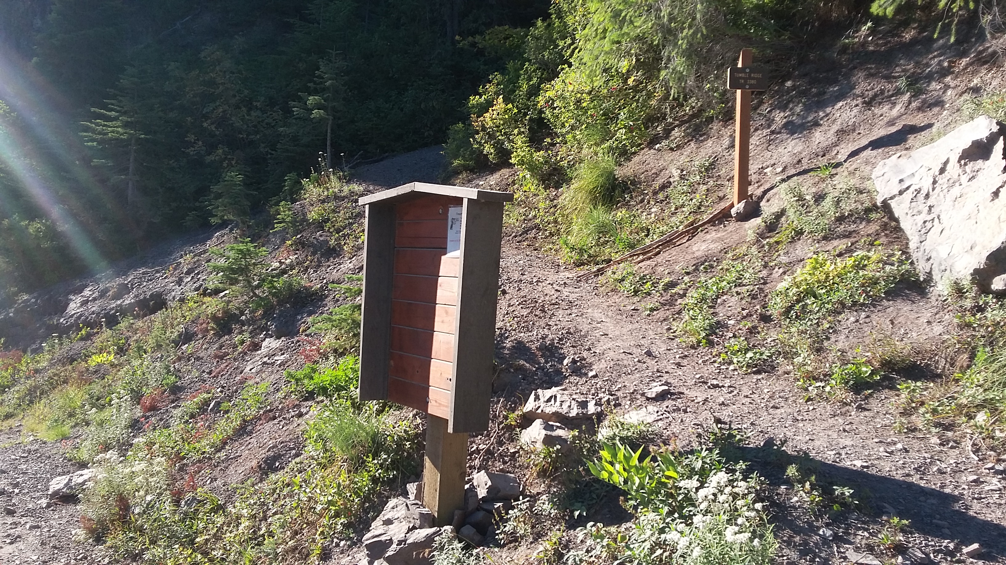
The Tumble Ridge Trail (3380) trailhead can be found near 44.755, -122.224. From the Willamette Valley, take Highway 22 east until just before the Breitenbush River bridge takes you into Detroit. You'll turn left here onto French Creek Road and go about 4.1 miles until the pavement ends and keep left onto Road 2223. You'll go along this nice gravel road for 3.7 miles to the trailhead where there is room on the shoulders for about four cars.
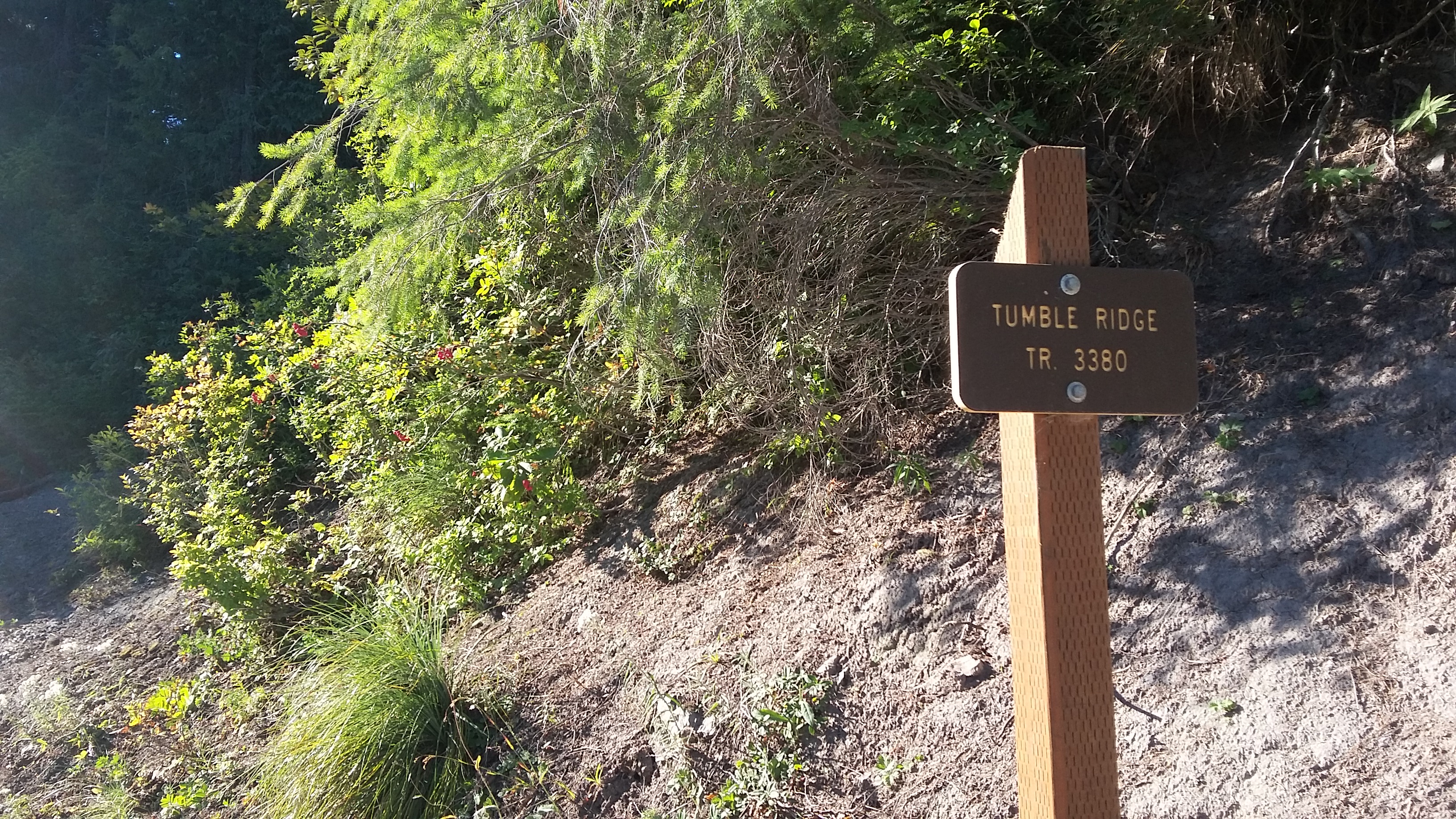
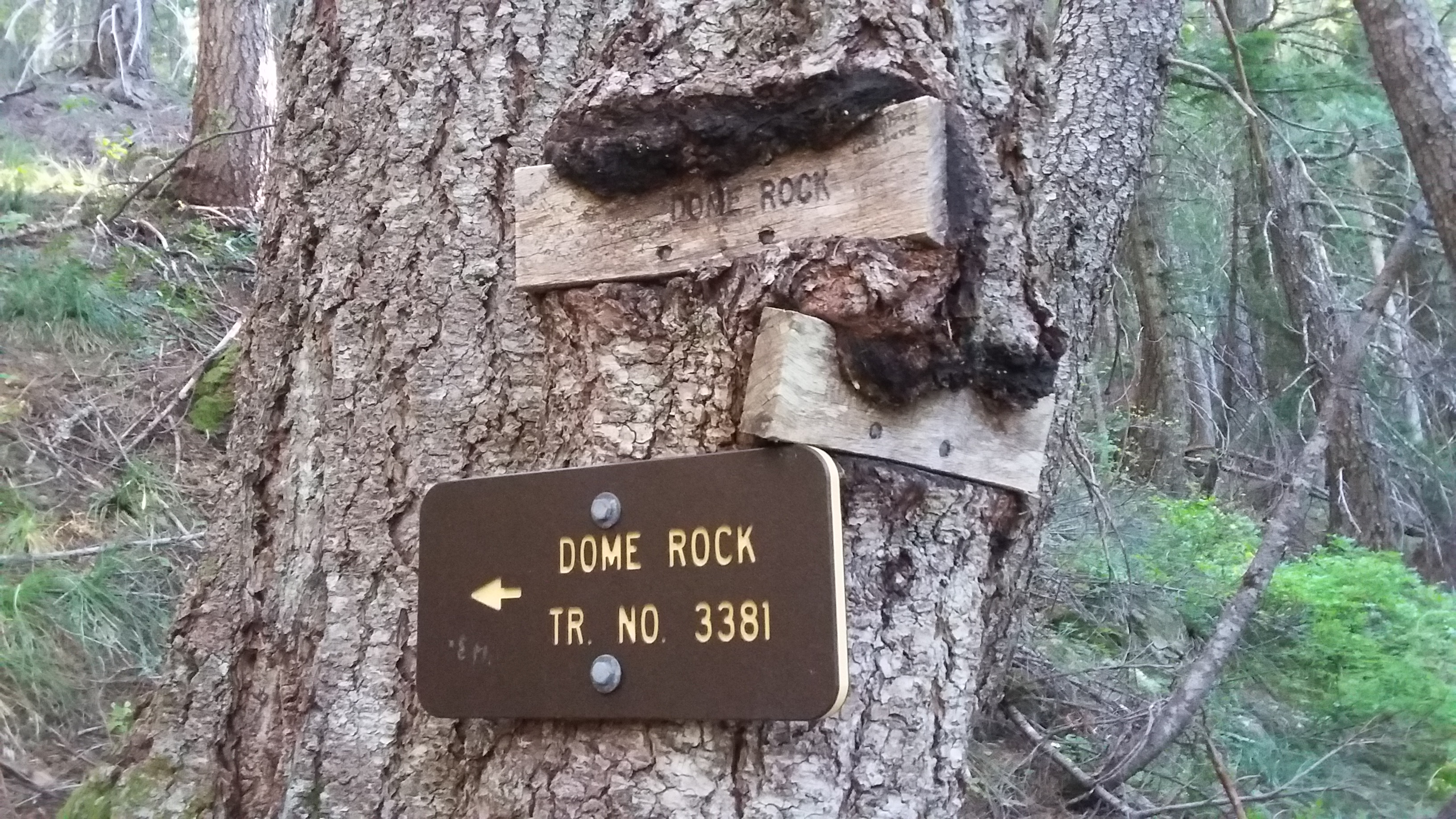
As you start on the trail, note the first trail junction as it passed over the shoulder from the road - you'll not want to miss this turn on the way back. You'll head east about one mile and then turn at the well signed junction for Dome Rock and head up about half a mile. The top is open and rocky, and a bit bug infested as I found it. Only a few suitable trees to secure a pole on the summit proper, but doable.
Note that there is another summit close by: W7O/WV-027 - Sardine Mountain.