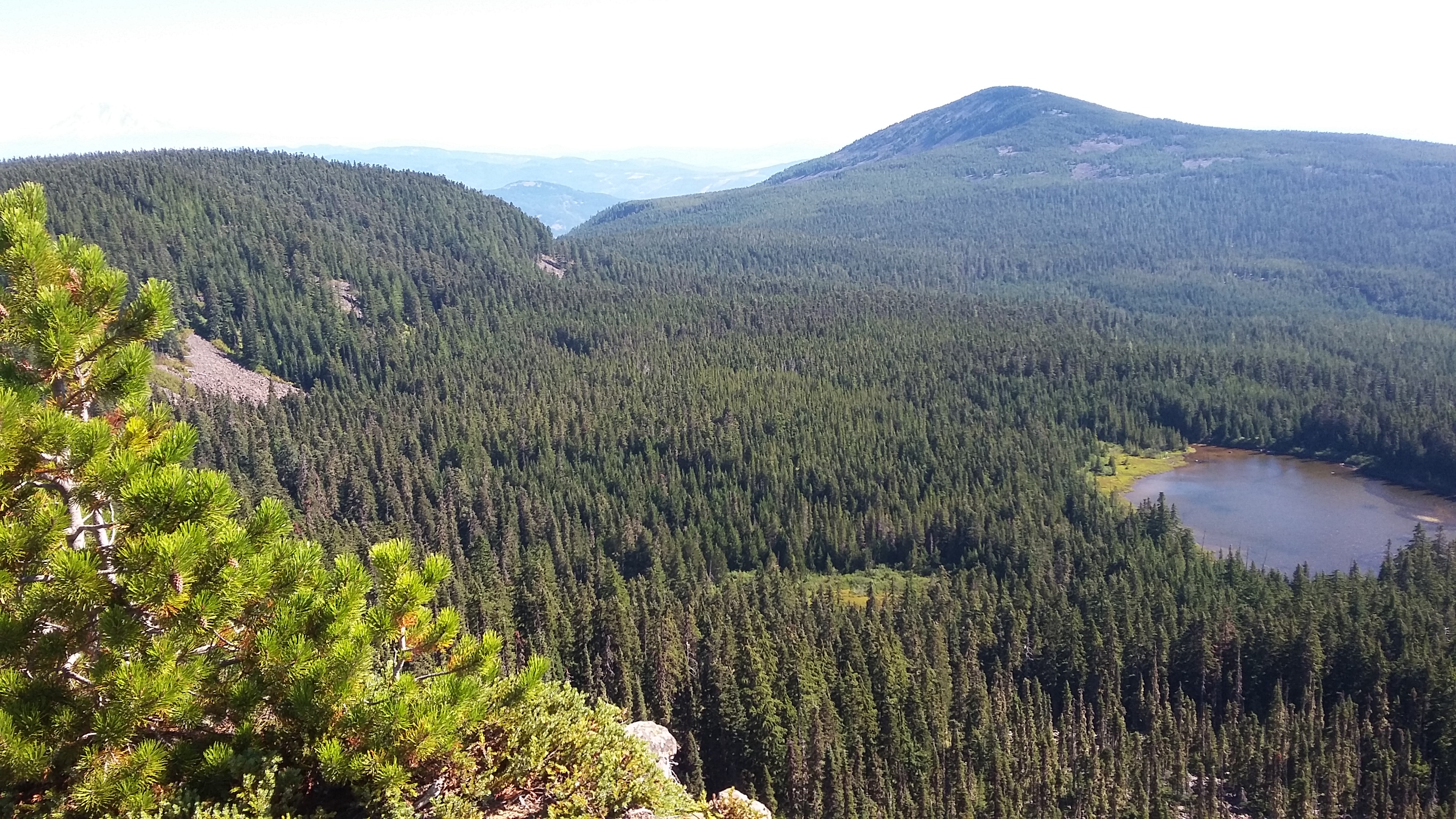
There are several ways to get to Green Point Mountain - I choose the shortest hike, which of course required the most uncomfortable drive (i.e., high clearance and paint you don't care about). The summit has fantastic views - as do most all former fire lookouts.
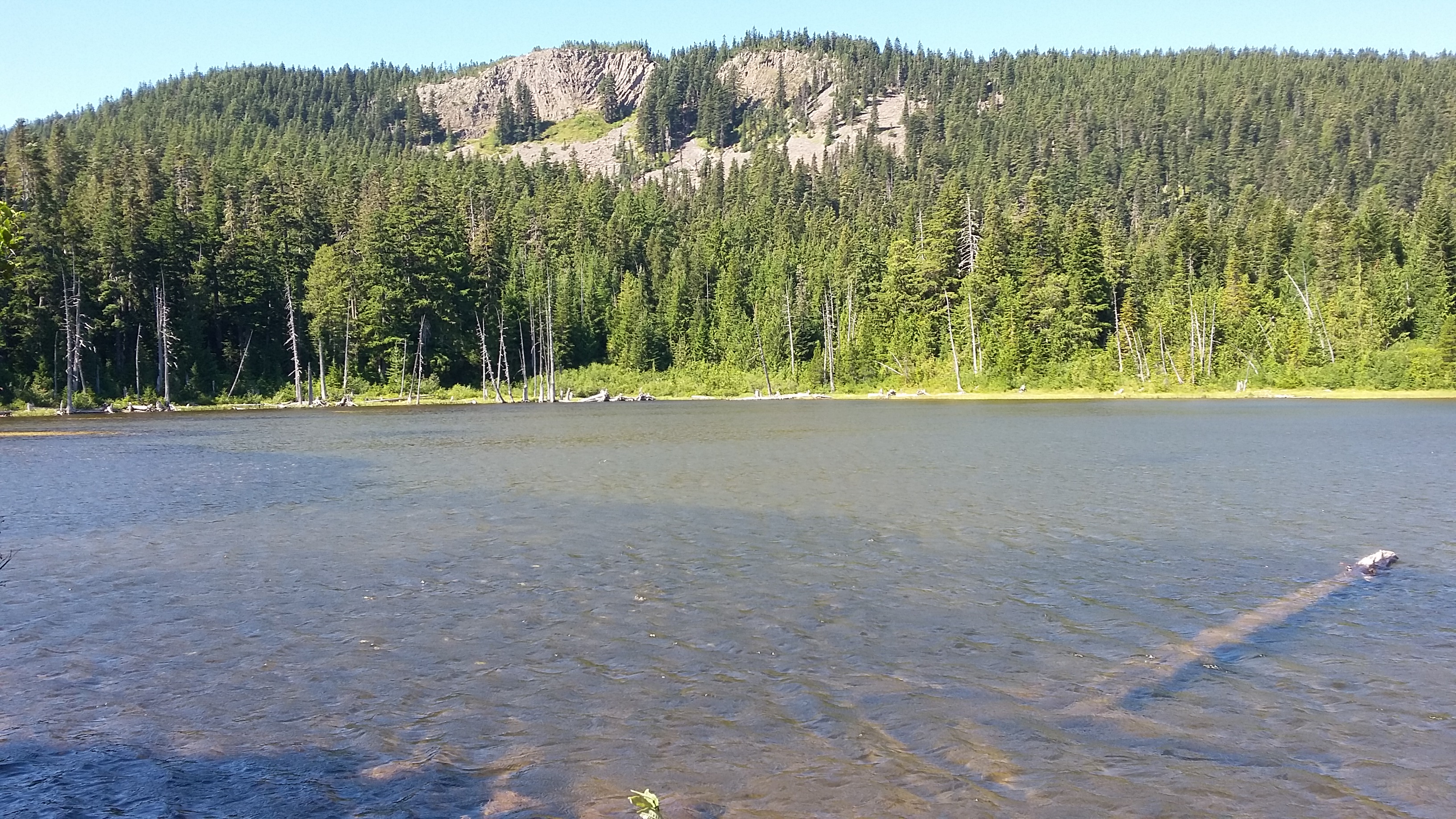
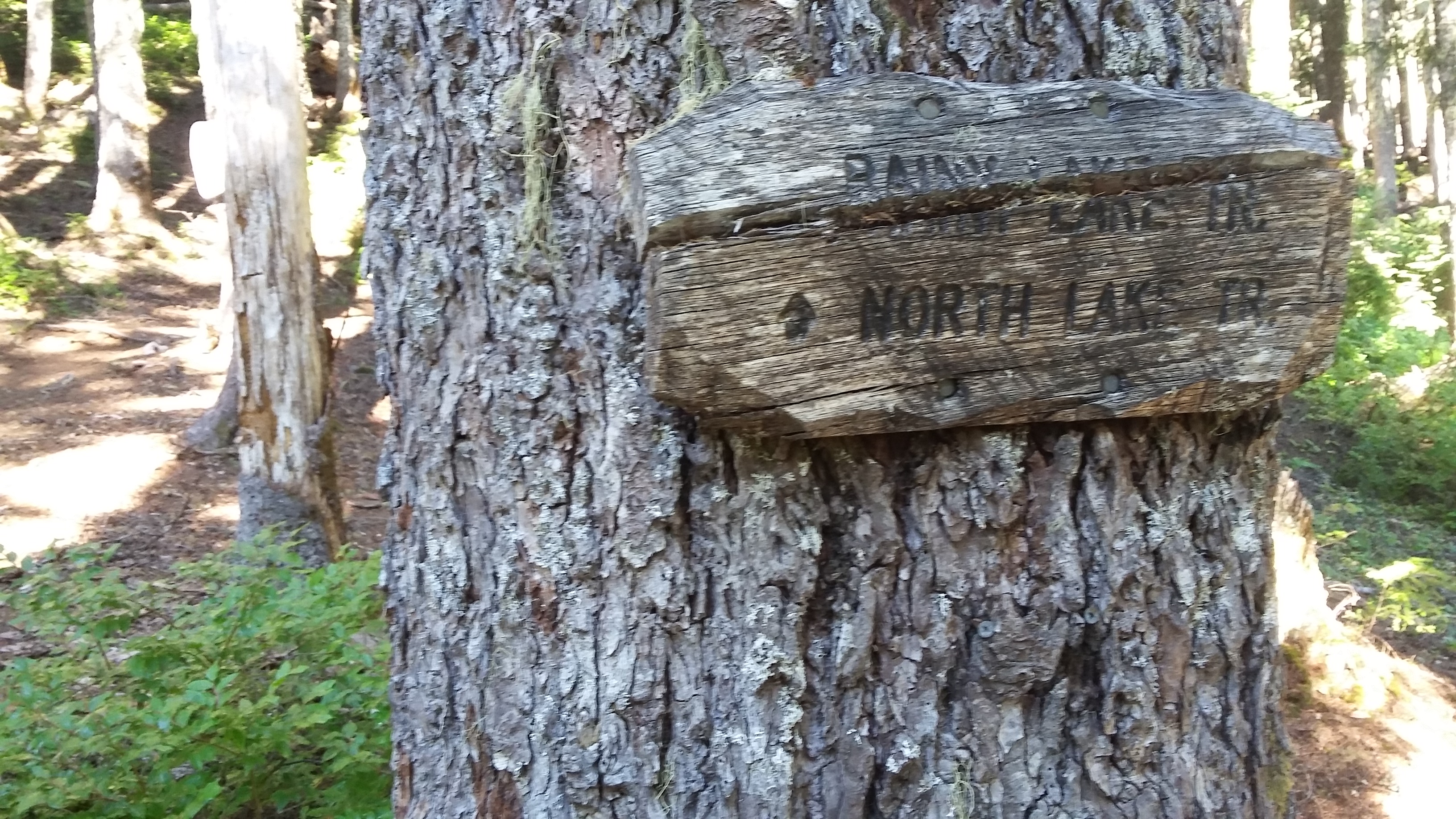
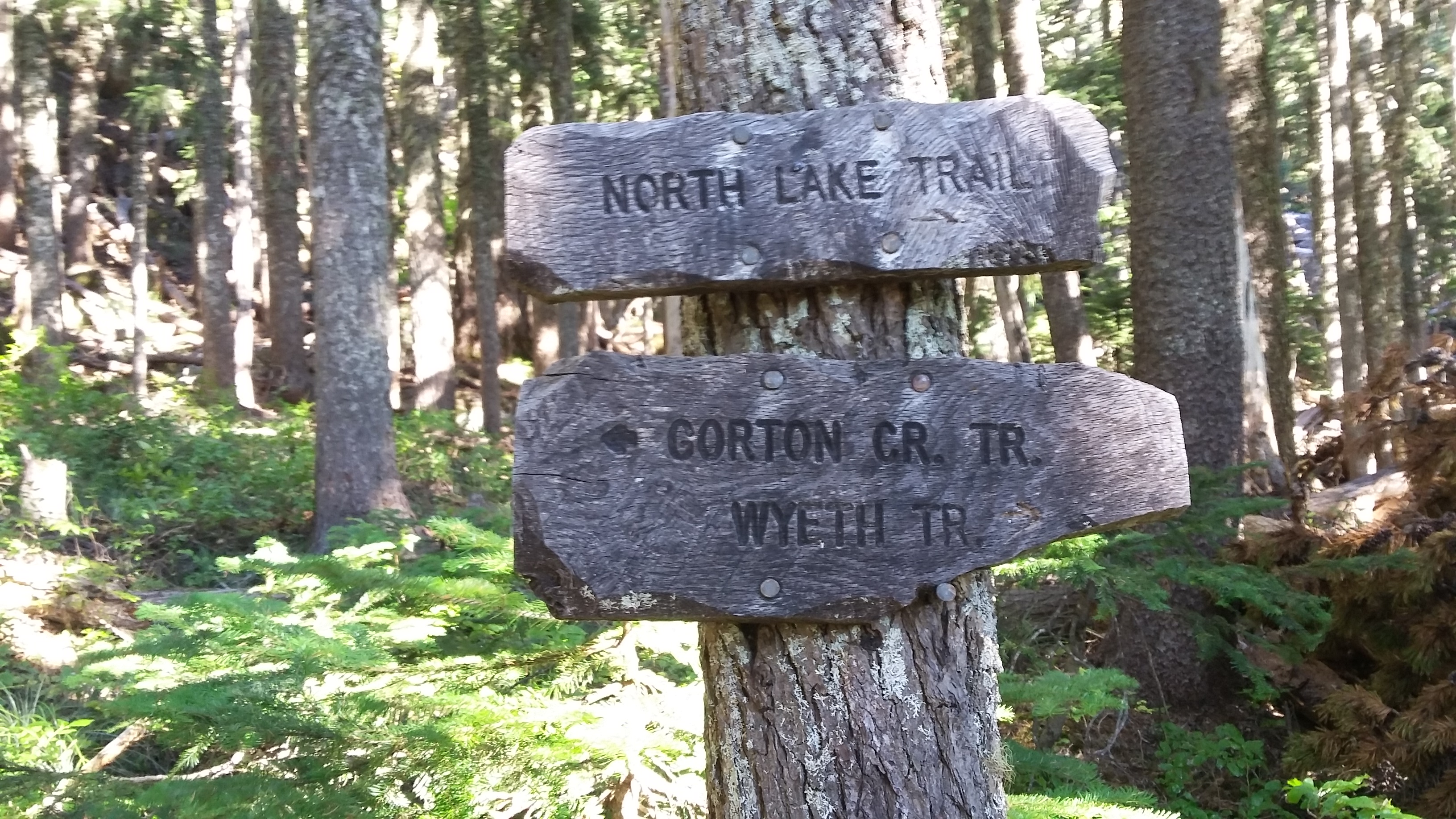
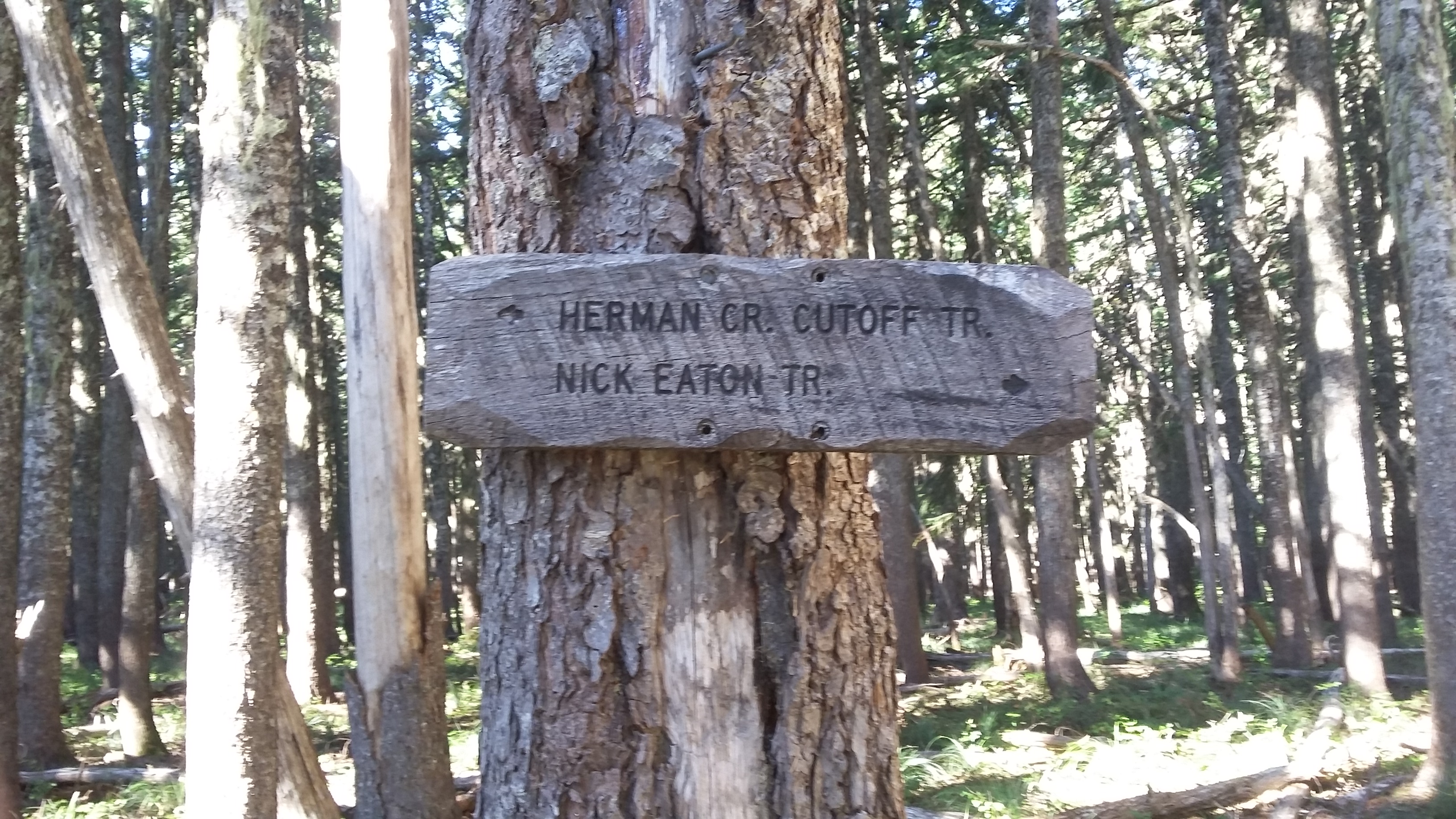
I'll leave you to find your own way to the Rainy Lake Trailhead near 45.62469°, -121.75830°. (The "short cut" using Kingsley Road is not that great.) As mentioned the road is rough and narrow, and a high clearance vehicle would be best. The Rainy Lake Trail starts behind the campsites - you'll need to walk through them to the west to find the trail. In a short 0.15 miles, you'll arrive at the lake and proceed around it to the north, continuing another 0.4 miles to turn left onto the North Lake Trail #423. You'll head up the ridge about 0.5 miles to turn left again onto #418 and go about 0.4 miles to the summit. There are awesome views here down to the lake and of the many other summits.
Alternatively, one could hike from Wyeth about seven miles one-way from the Columbia and spare your car the trouble.